Cap de Creus - carena vessant Llançà
Easy hiking to do alone, with family or trail running.
Hiking Easy
- Distance
- 9.6 km
- Ascent
- 529 m
- Descent
- 550 m
- Duration
- 2-3 hrs
- Low Point
- 1 m
- High Point
- 459 m
- Gradient
- 11˚

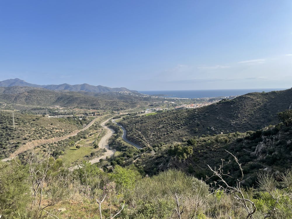
This is a popular hiking route which is generally considered to be easy. It's not remote, it features low exposure and is typically done all year round. From a low point of 1 m to the maximum altitude of 459 m, the route covers 9.6 km, 529 vertical metres of ascent and 550 vertical metres of descent.

- •
- •
- •
- •
- •
- •
- •
- •
- •
- •
Description
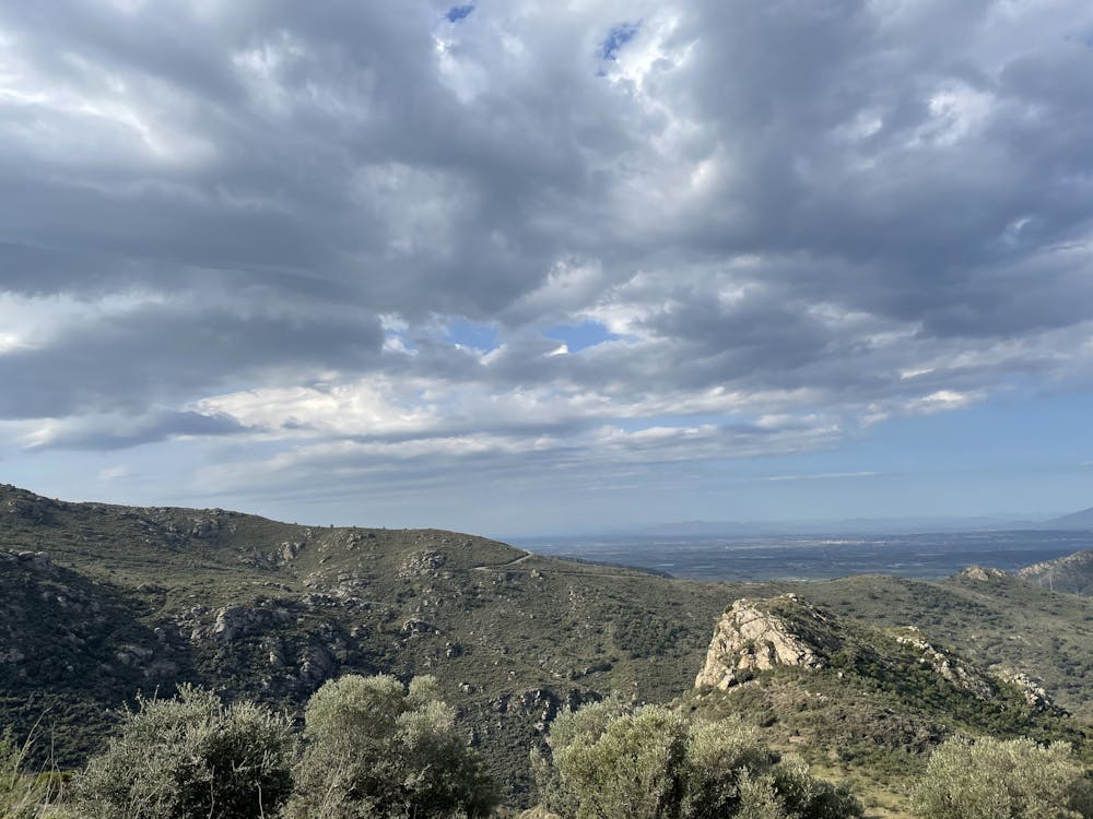
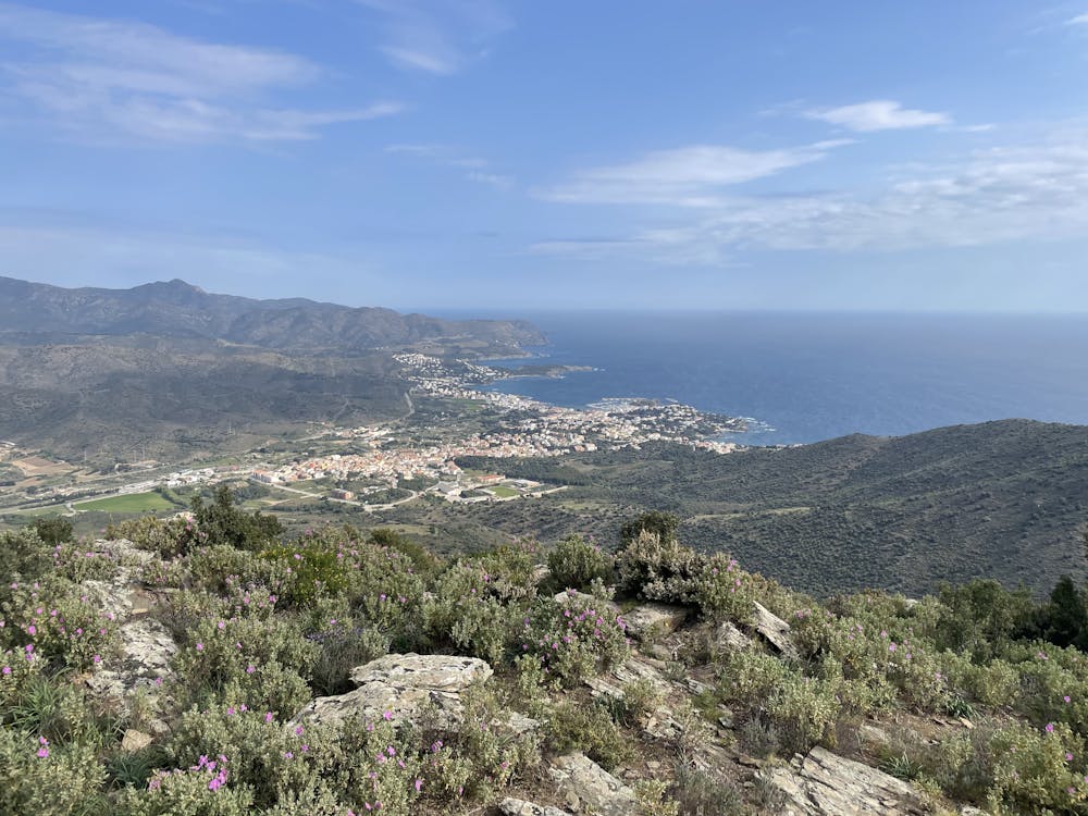
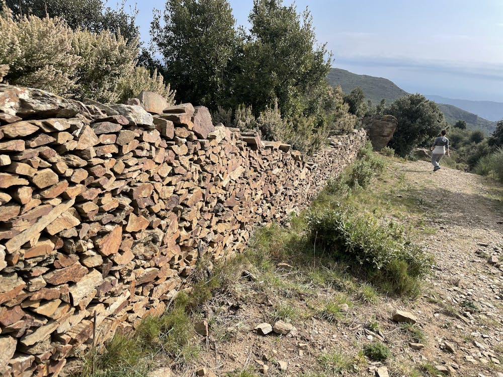
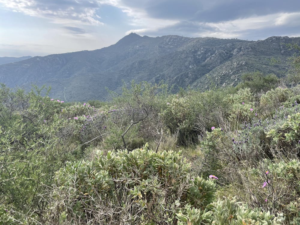
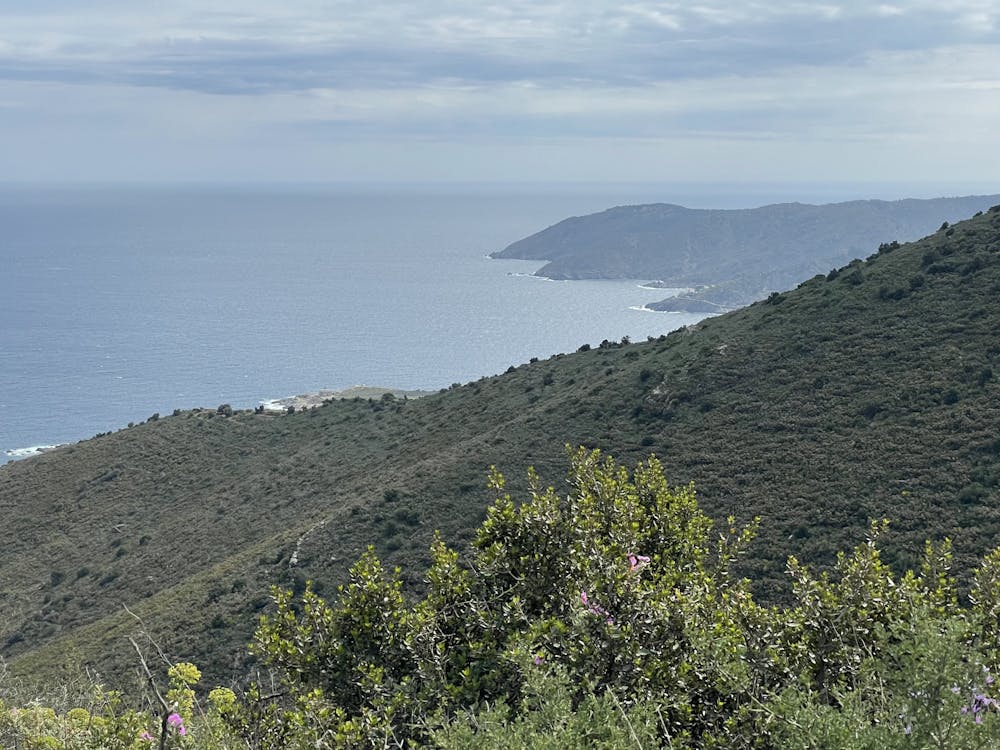
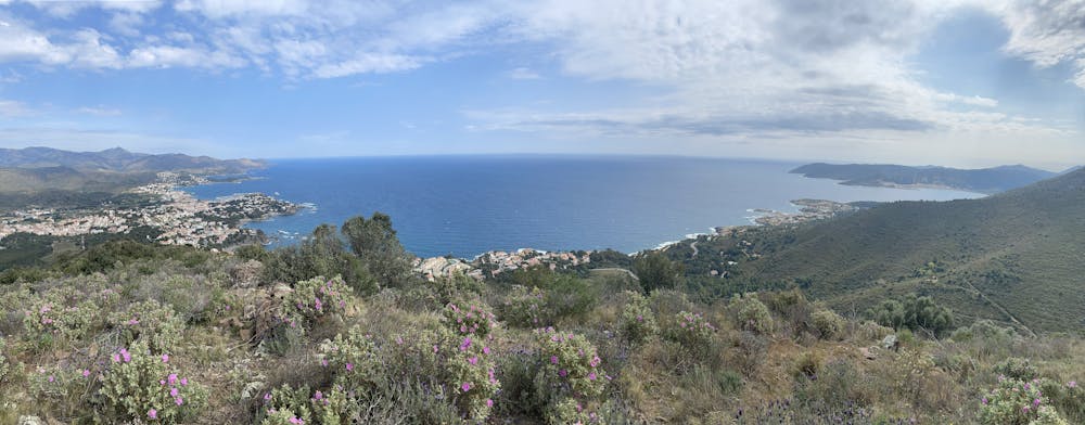
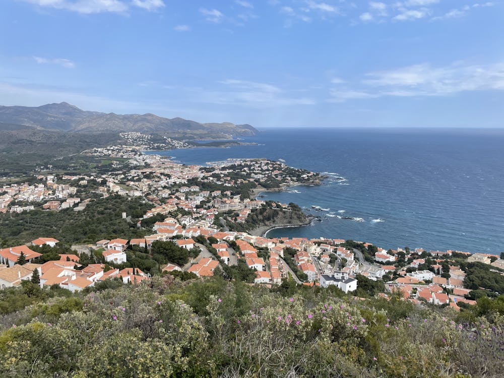
Beautiful views throughout the hike.
Difficulty
Easy
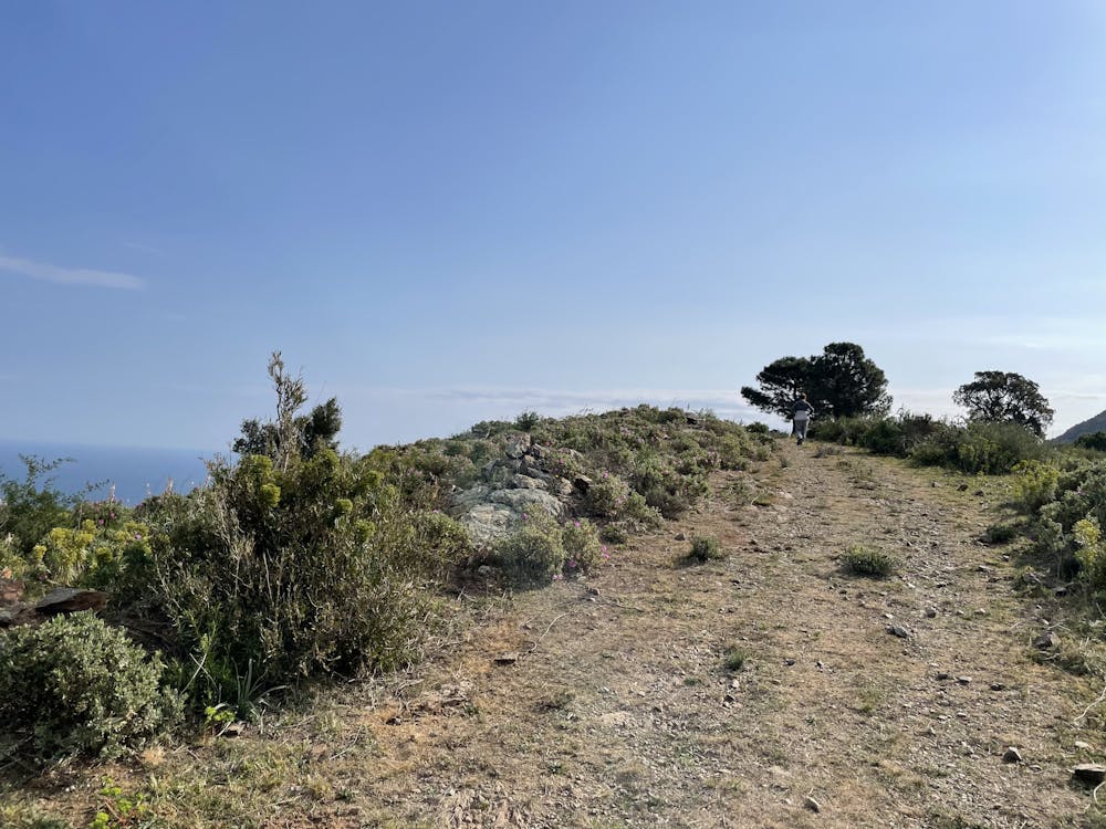
Walking along a well-kept trail that’s mostly flat. No obstacles are present.
Low Exposure

The path is on completely flat land and potential injury is limited to falling over.
Remoteness
Close to help in case of emergency.
Best time to visit
Features
- Picturesque
- Dog friendly
- Family friendly