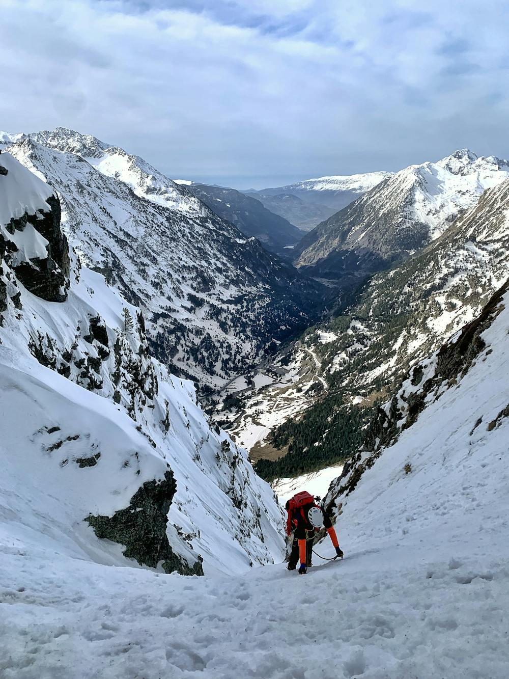
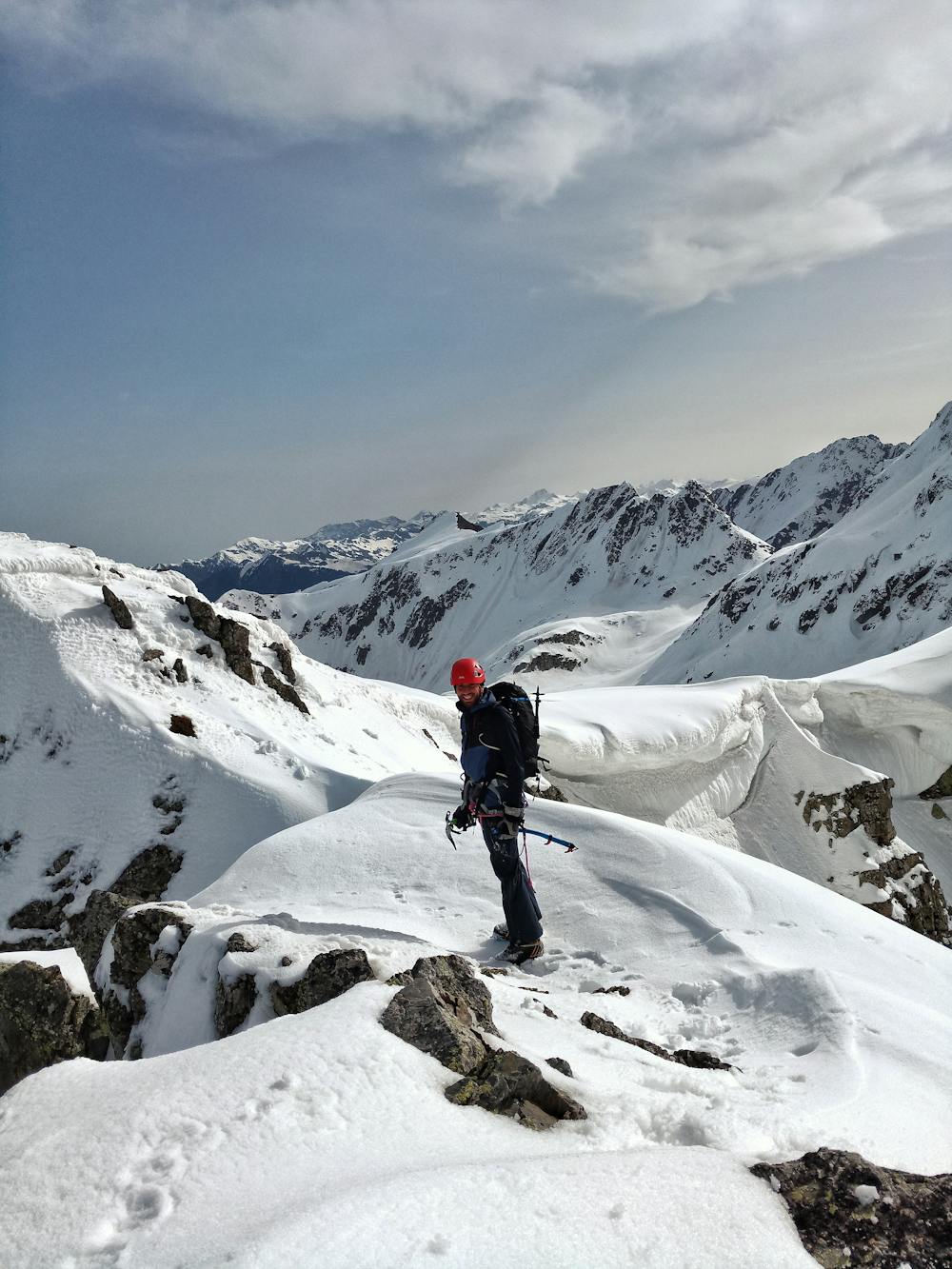
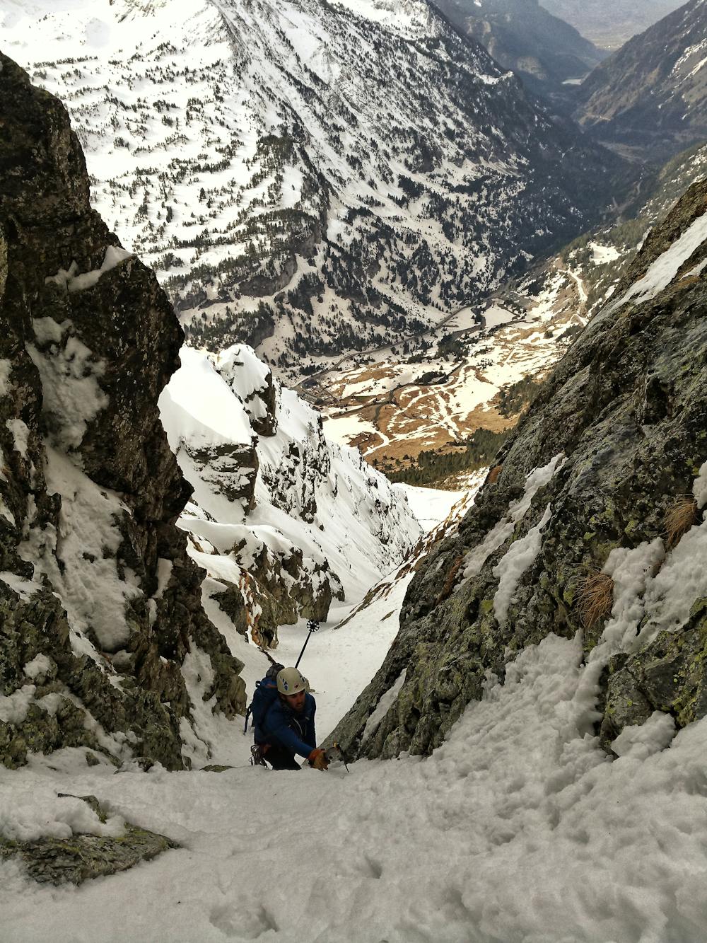
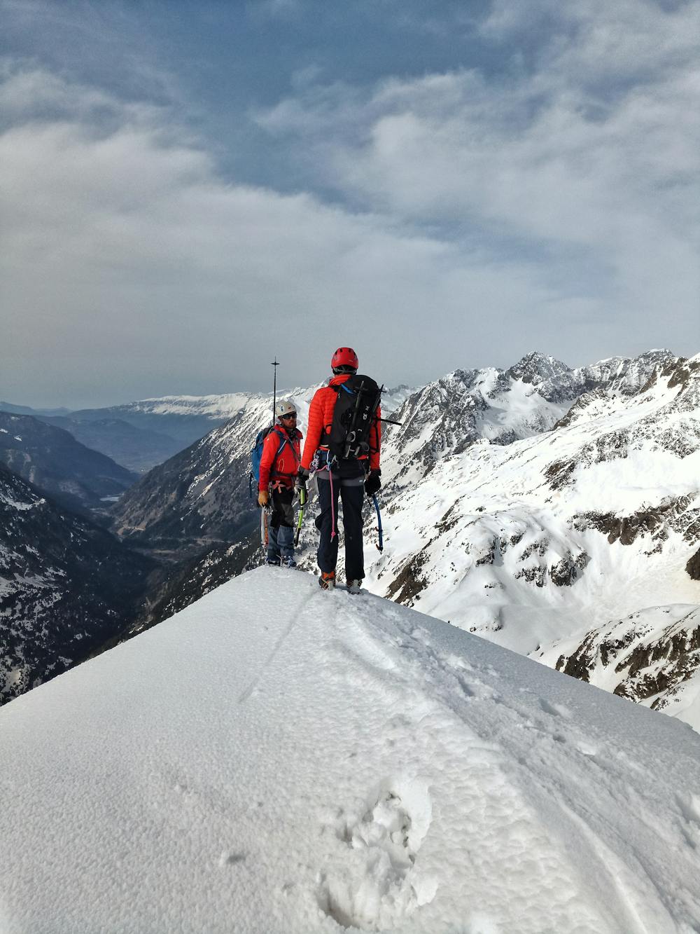
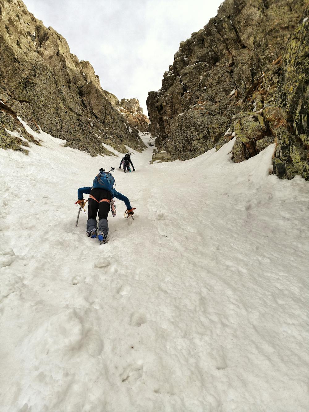
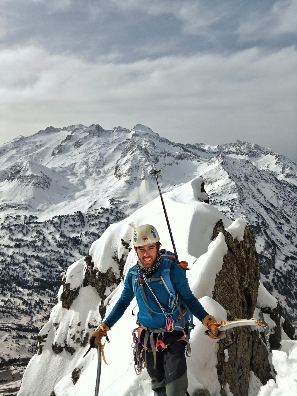
"West Couloir" of the Pic de la Montagnette
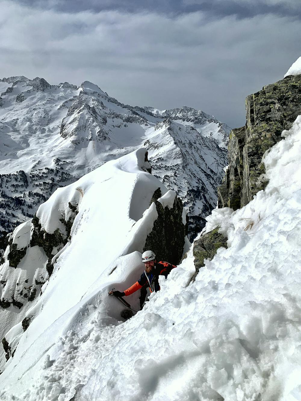
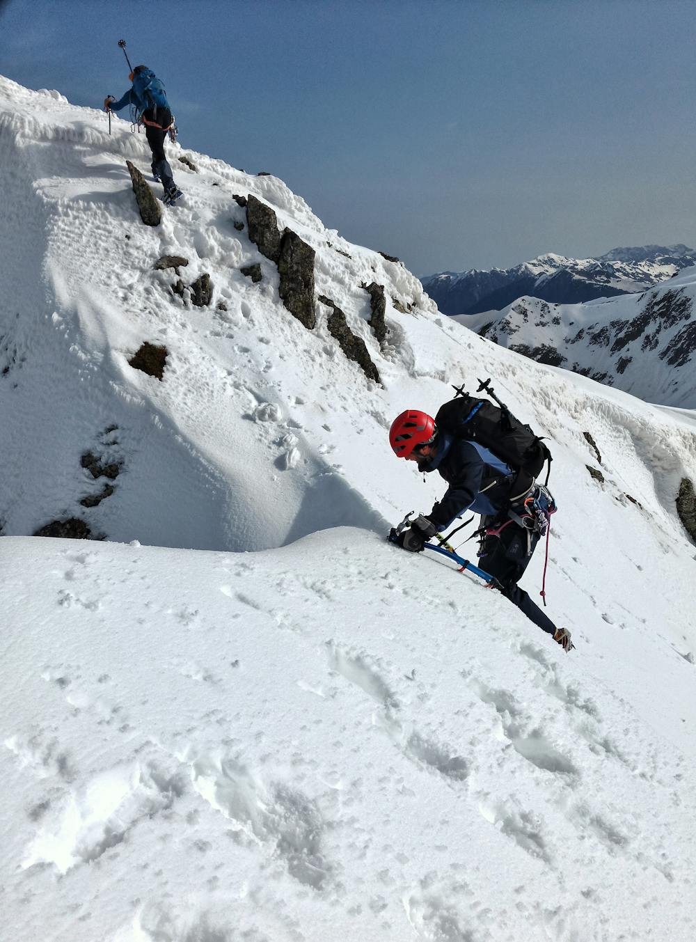
Nice alpine route up an easy couloir with a spicy mixed climbing section three quarters the way up
Alpine Climbing Severe
- Distance
- 7.3 km
- Ascent
- 813 m
- Descent
- 813 m
- Low Point
- 1.7 km
- High Point
- 2.5 km
- Gradient
- 23˚

This is a popular alpine climbing route which is generally considered to be severe. It's not remote, it features high exposure and is typically done between January and March. From a low point of 1.7 km to the maximum altitude of 2.5 km, the route covers 7.3 km, 813 vertical metres of ascent and 813 vertical metres of descent. You'll need crampons, quickdraws, glacier kit, 2 ice axes and wires and friends to complete it safely.
- •
- •
- •
- •
- •
- •
- •
- •
- •
Description
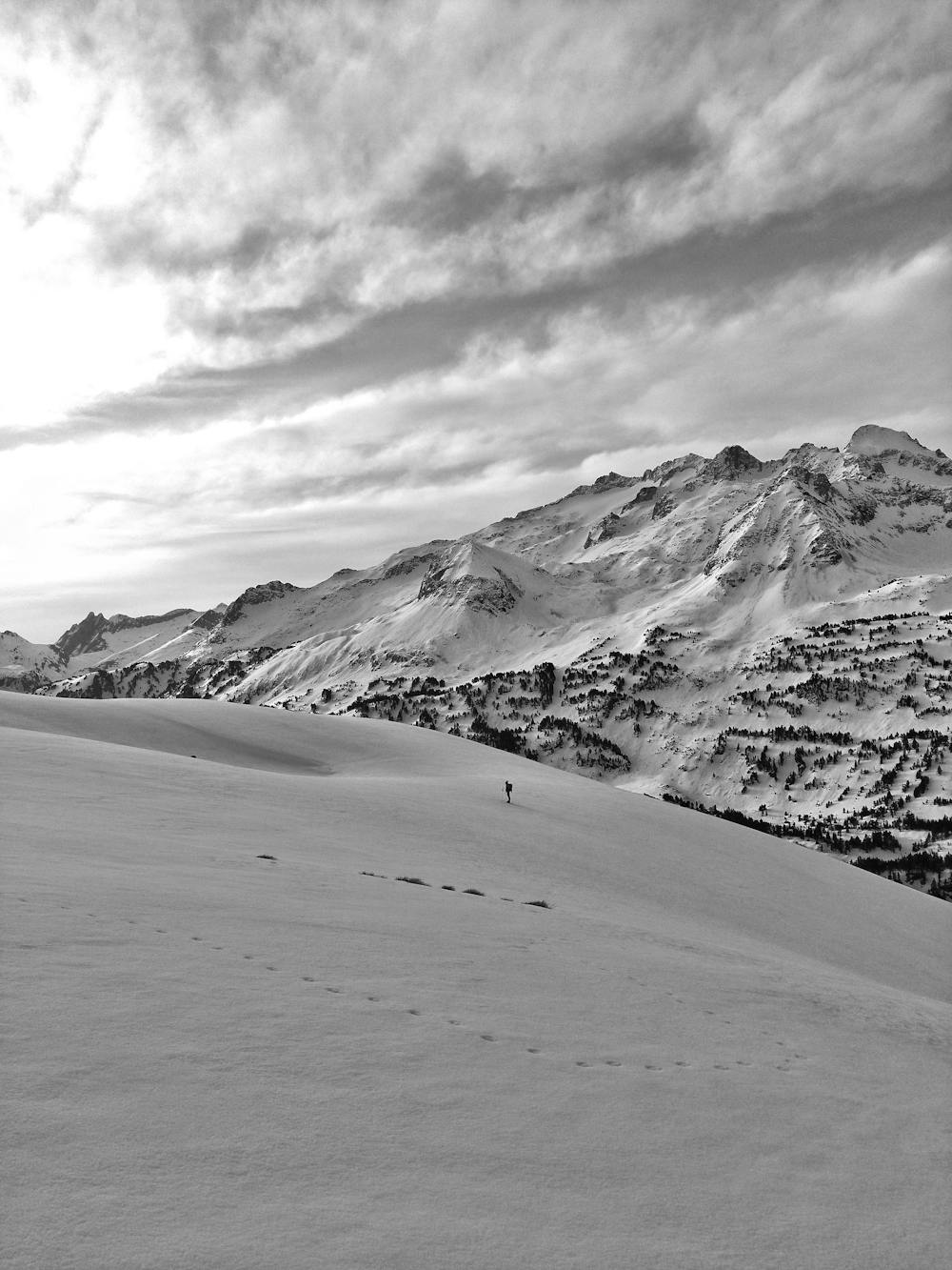
Great winter mountaineering activity with a short approach and great alpine feeling.
Difficulty
Severe
Steep, sustained and serious terrain on rock/ice. Routes will be long, exposed and possibly committing. D, D+
High Exposure

Much of the route is difficult to protect and a fall could be disastrous at certain points.
Remoteness

Close to help in case of emergency.
Best time to visit
Equipment required
- Crampons
- Quickdraws
- Glacier kit
- 2 Ice Axes
- Wires and Friends