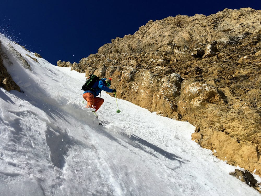
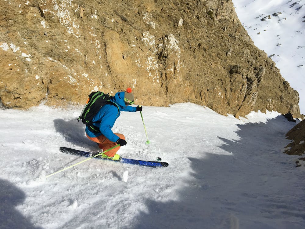
Peña Roya "canal Este"
Estación de Esquí Aramón Panticosa
short but steep colouir
Freeride Skiing Severe
- Distance
- 4 km
- Ascent
- 480 m
- Descent
- 524 m
- Low Point
- 2.1 km
- High Point
- 2.6 km
- Gradient
- 41˚

This is a popular freeride skiing route which is generally considered to be severe. It's not remote, it features medium exposure (e2) and is typically done between February and April. From a low point of 2.1 km to the maximum altitude of 2.6 km, the route covers 4 km, 480 vertical metres of ascent and 524 vertical metres of descent. It's graded 4.2 and Labande grade 5. You'll need skins, ice axe and crampons to complete it safely.
Description
one hour for uphill and down the short but steep colouir
Difficulty
Severe
Steep skiing at 38-45 degrees. This requires very good technique and the risk of falling has serious consequences.
Medium Exposure (E2)

As well as the slope itself, there are some obstacles (such as rock outcrops) which could aggravate injury.
Remoteness

Close to help in case of emergency.
Best time to visit
Features
- Couloir
- Walk Required
Equipment required
- Skins
- Ice axe
- Crampons