Ruta de Corona de los Muertos
Ruta sencilla para dar un paseo agradable con familia o niños
Hiking Easy
- Distance
- 3.7 km
- Ascent
- 135 m
- Descent
- 135 m
- Duration
- 0-1 hrs
- Low Point
- 1.1 km
- High Point
- 1.2 km
- Gradient
- 8˚

This is a popular hiking route which is generally considered to be easy. It's not remote, it features low exposure and is typically done all year round. From a low point of 1.1 km to the maximum altitude of 1.2 km, the route covers 3.7 km, 135 vertical metres of ascent and 135 vertical metres of descent.
Description
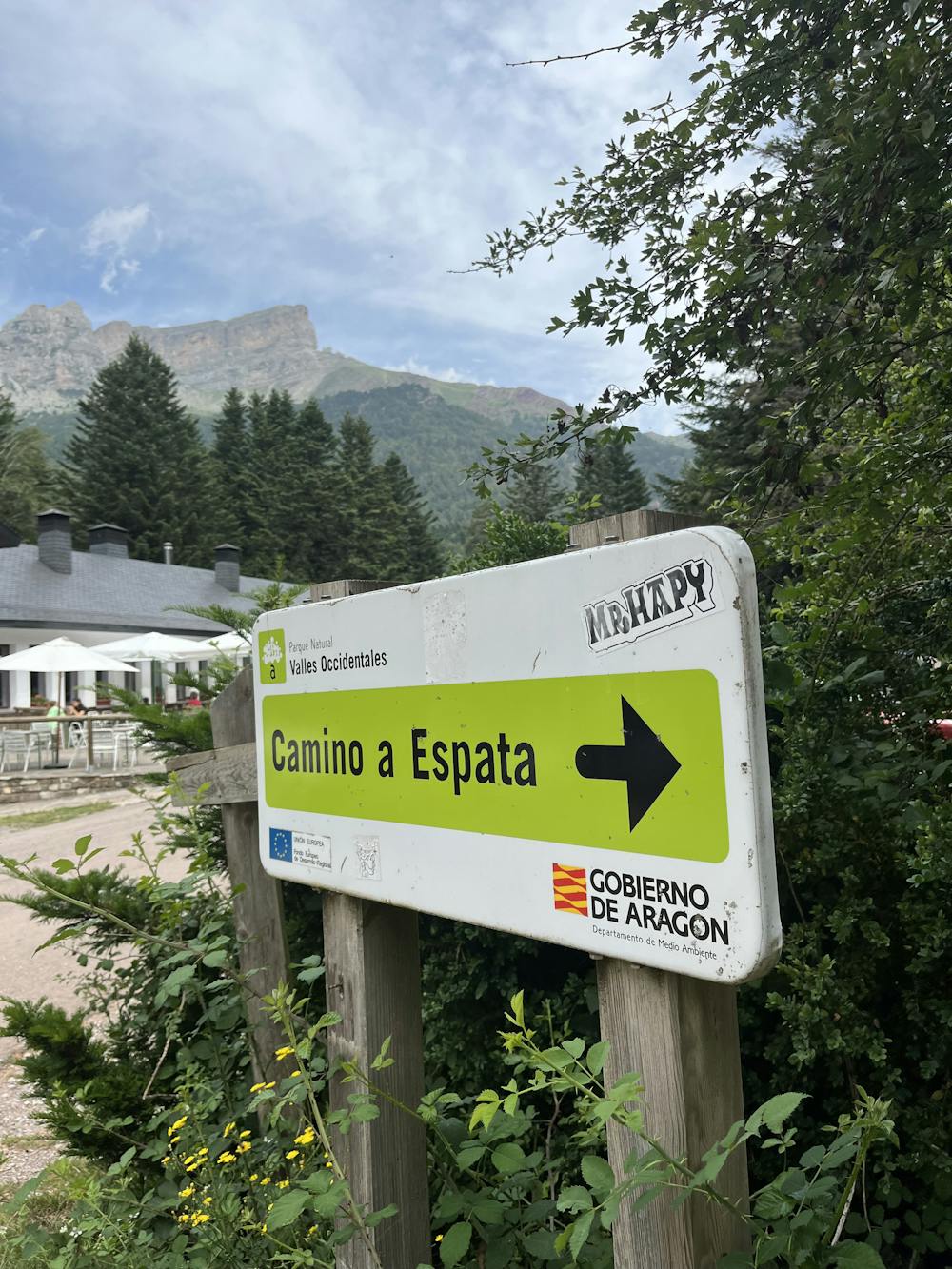
Una hora por un bosque precioso que termina en un camping.
Difficulty
Easy
Walking along a well-kept trail that’s mostly flat. No obstacles are present.
Low Exposure

The path is on completely flat land and potential injury is limited to falling over.
Remoteness
Close to help in case of emergency.
Best time to visit
Features
- Picturesque
- Dog friendly
- Family friendly