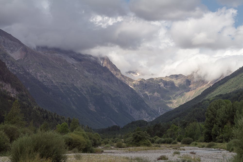
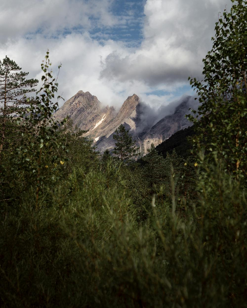
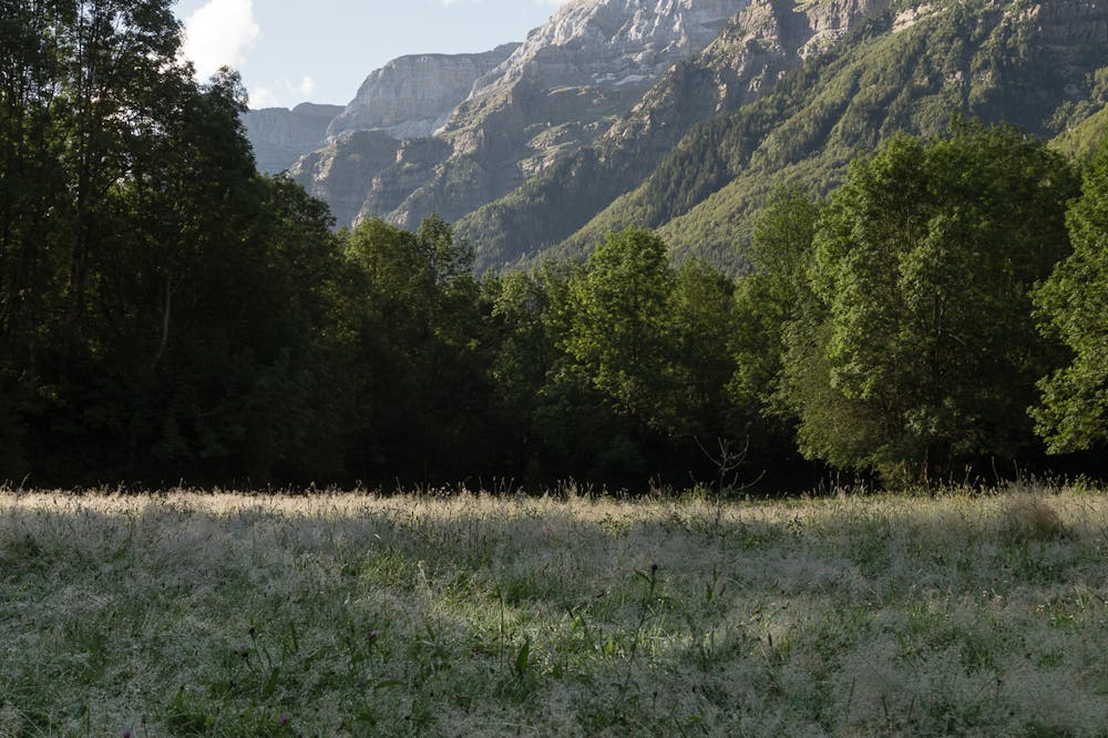
Walking Pineta
Beautiful paths along the forests of Pineta valley
Hiking Easy
- Distance
- 12 km
- Ascent
- 221 m
- Descent
- 221 m
- Duration
- 2-3 hrs
- Low Point
- 1.2 km
- High Point
- 1.2 km
- Gradient
- 4˚

ENGLISH | FRANÇAIS | ESPAÑOL
Description
EN
Quiet and simple walk along the Pineta valley, following its forests and the side of the river Cinca.FR
Route tranquille à travers les forêts de la vallée de Pineta.ES
Ruta sencilla, tranquila y bonita que transcurre por los bosques del valle de Pineta y las orillas del río Cinca.Additional info here: https://www.nevasport.com/eMotion365/art/62908/rutas-y-excursiones-en-estaciones-de-esqui/
Difficulty
Easy
Walking along a well-kept trail that’s mostly flat. No obstacles are present.
Low Exposure

The path is on completely flat land and potential injury is limited to falling over.
Remoteness
Close to help in case of emergency.
Best time to visit
Features
- Picturesque
- Dog friendly
- Wild flowers
- Forestry or heavy vegetation