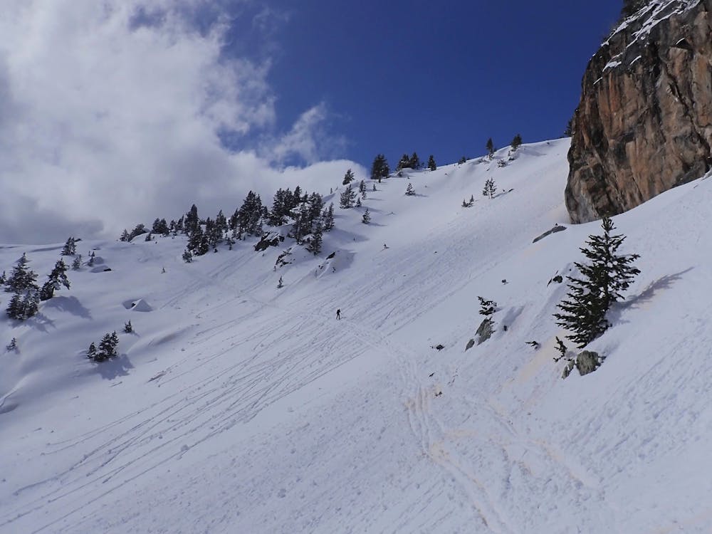
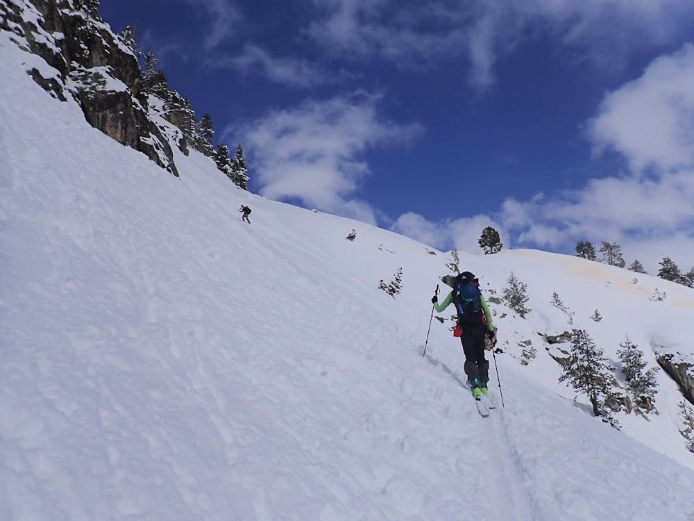
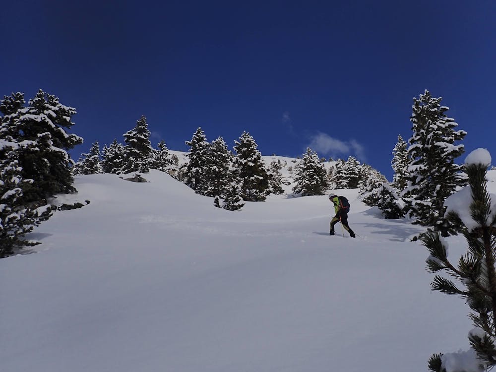
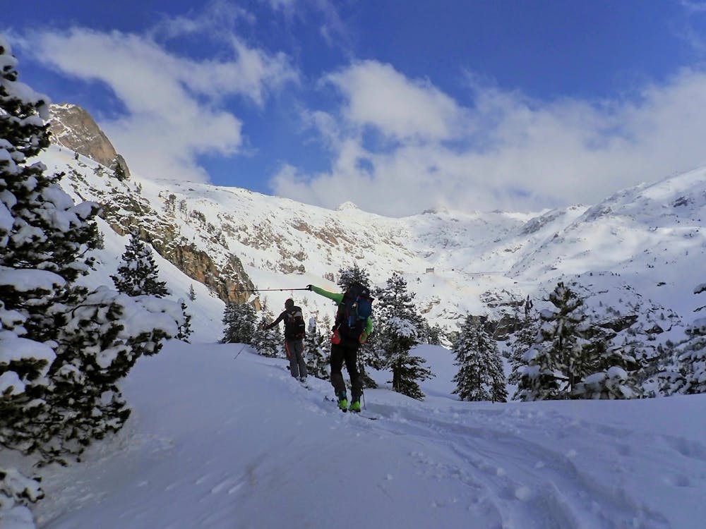
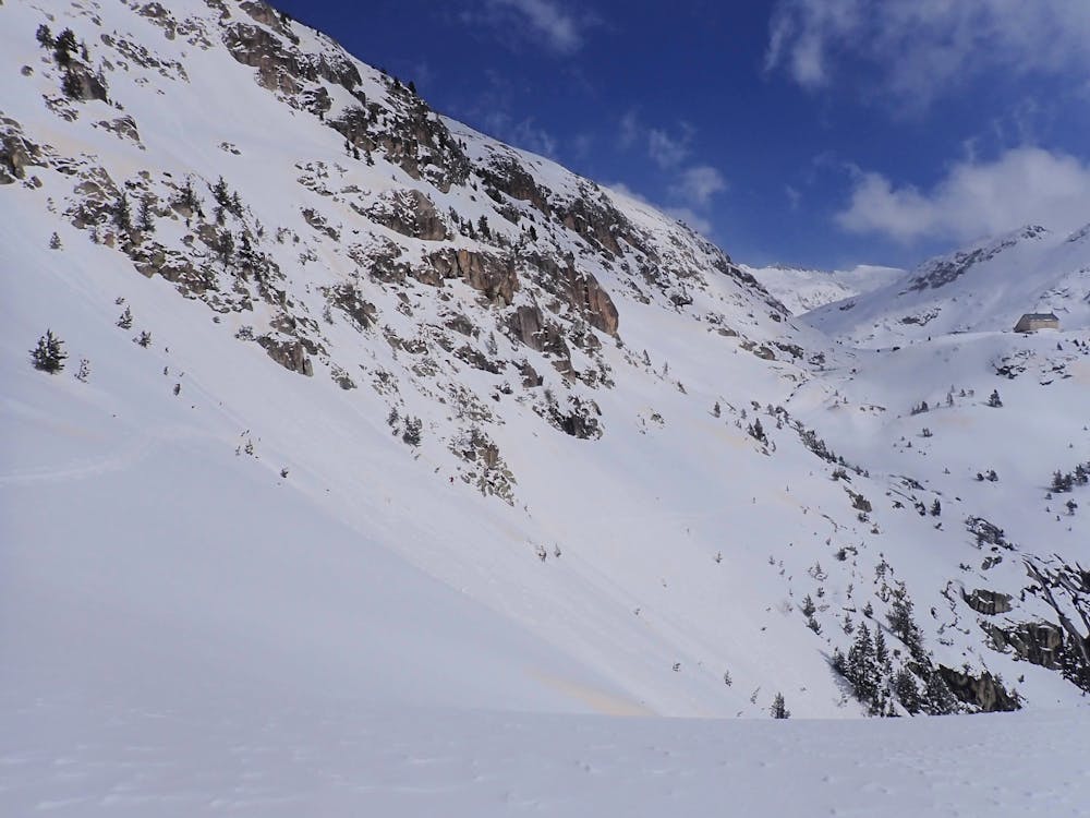
Acceso ref. Bachimaña por el bosque de Arnales
Acceso mas seguro al refugio cuando hay riesgo alto de aludes
Ski Touring Moderate
- Distance
- 5.1 km
- Ascent
- 696 m
- Descent
- 141 m
- Duration
- 3-4 hrs
- Low Point
- 1.6 km
- High Point
- 2.2 km
- Gradient
- 25˚

This is a popular ski touring route which is generally considered to be moderate. It's remote, it features medium exposure (e2) and is typically done between December and March. From a low point of 1.6 km to the maximum altitude of 2.2 km, the route covers 5.1 km, 696 vertical metres of ascent and 141 vertical metres of descent. It's graded 2.1 and Labande grade 2. You'll need skins, ice axe and crampons to complete it safely.
- •
- •
- •
- •
- •
Description
ruta menos expuesta a los aludes
Difficulty
Moderate
Slopes become slightly steeper at around 25-30 degrees.
Medium Exposure (E2)

As well as the slope itself, there are some obstacles (such as rock outcrops) which could aggravate injury.
Remoteness
Away from help but easily accessed.
Best time to visit
Features
- Tree Skiing
- Ski Mountaineering
Equipment required
- Skins
- Ice axe
- Crampons