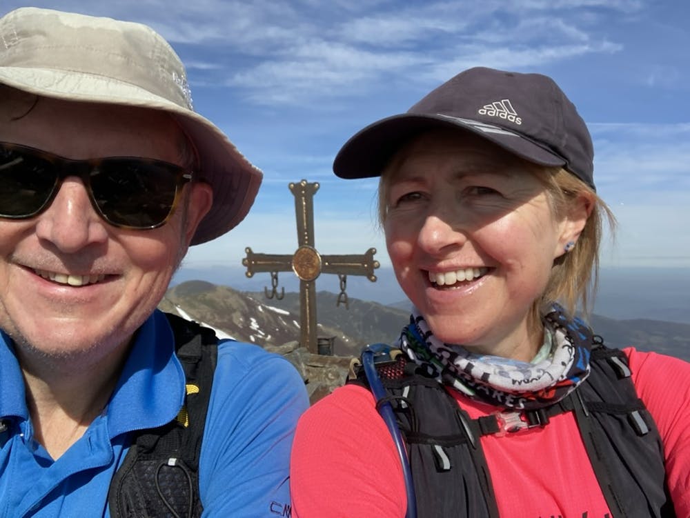
2023-04-23 Estorbín de Valverde
Classic Leonés route, with spectacular views of the Cordillera Cantabrica
Hiking Moderate
- Distance
- 16 km
- Ascent
- 1 km
- Descent
- 957 m
- Duration
- 4-5 hrs
- Low Point
- 1.3 km
- High Point
- 2.1 km
- Gradient
- 16˚

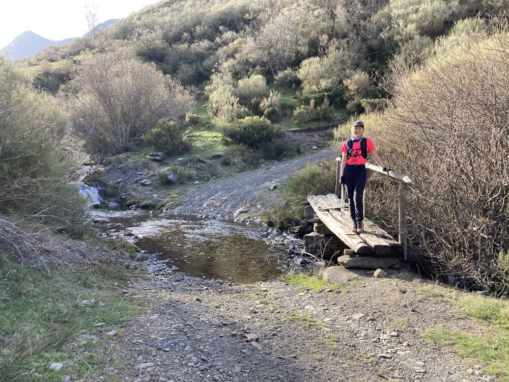
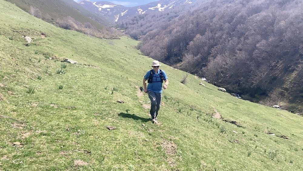
This is a popular hiking route which is generally considered to be moderate. It's remote, it features low exposure and is typically done in April, May, June, September, October and November. From a low point of 1.3 km to the maximum altitude of 2.1 km, the route covers 16 km, 1008 vertical metres of ascent and 957 vertical metres of descent.
- •
- •
- •
- •
Description
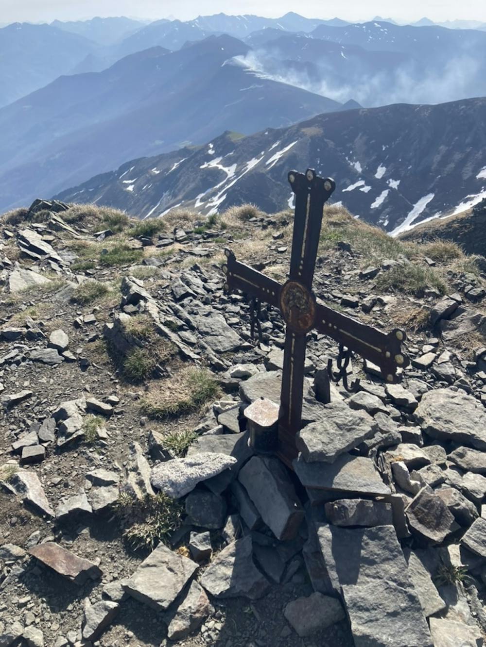
One of the many 2000m peaks in the Cordillera Cantabrica, with relatively easy access, and stunning views in all directions
Difficulty
Moderate
Hiking along trails with some uneven terrain and small hills. Small rocks and roots may be present.
Low Exposure

The path is on completely flat land and potential injury is limited to falling over.
Remoteness

Away from help but easily accessed.
Best time to visit
Features
- Picturesque
- Summit Hike