Peña Ten y Pileñes
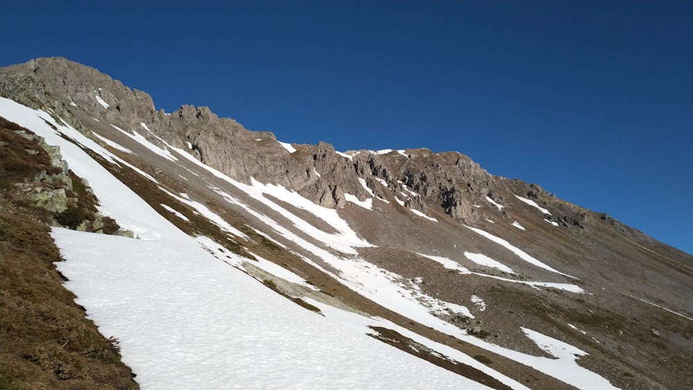
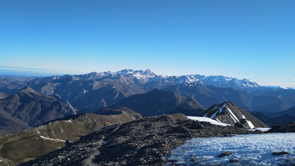
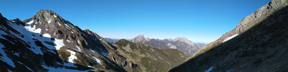
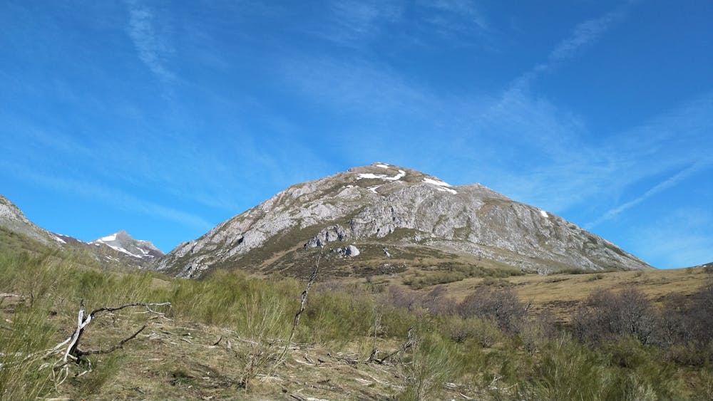
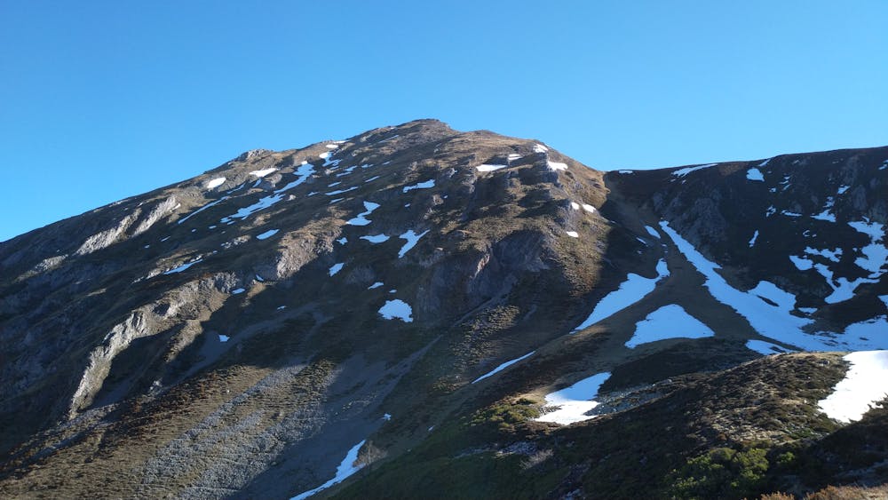
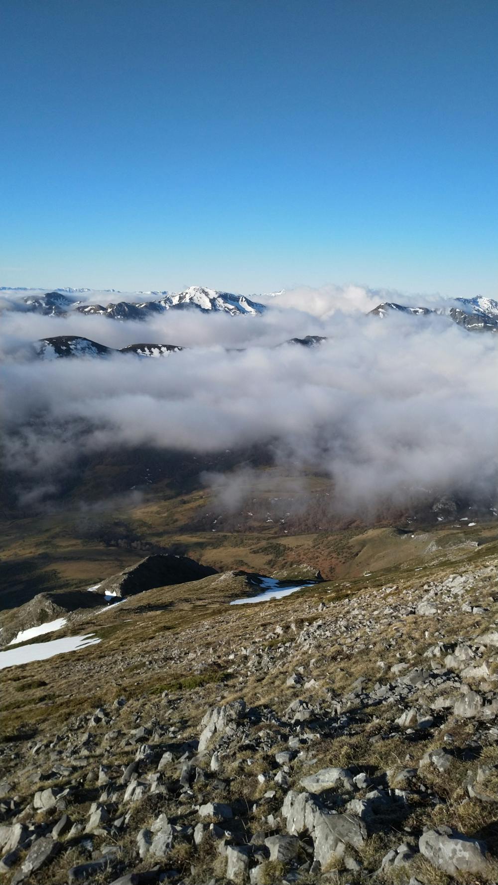
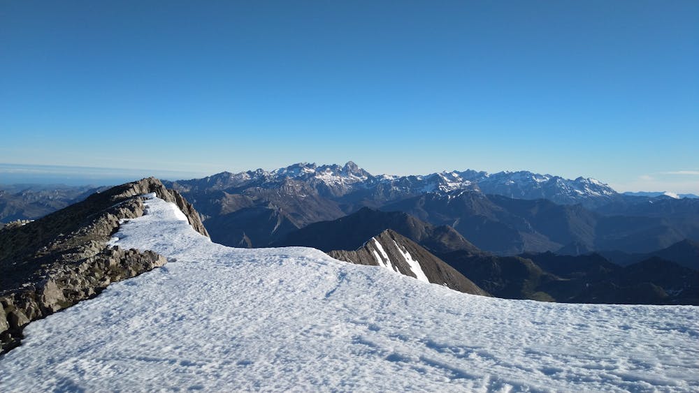
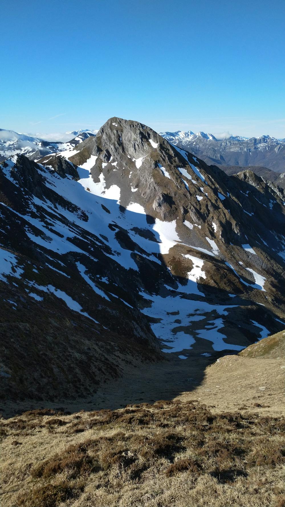
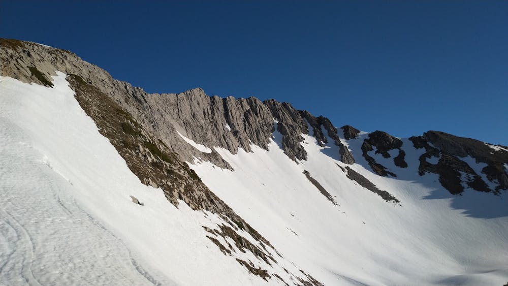
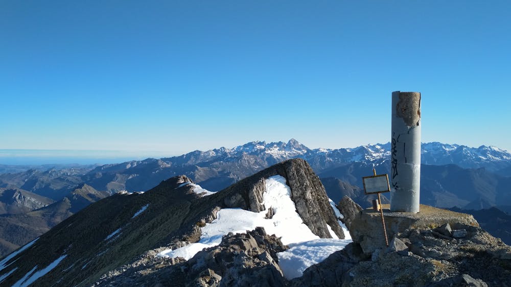
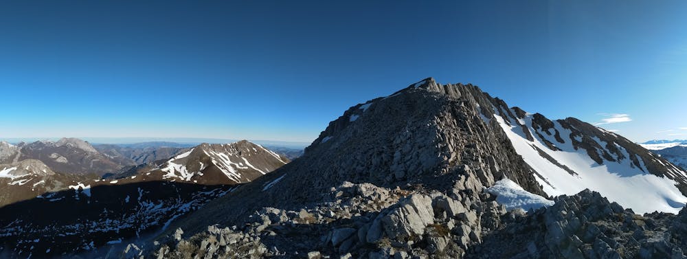
Trekking around Peña Ten and Pileñes, passing through some of the most wonderfull places in Cordillera Cantabrica with very nice view of Picos de Europa.
Hiking Moderate
- Distance
- 17 km
- Ascent
- 1.4 km
- Descent
- 1.4 km
- Duration
- 5-6 hrs
- Low Point
- 1.2 km
- High Point
- 2.1 km
- Gradient
- 24˚

This is a popular hiking route which is generally considered to be moderate. It's remote, it features medium exposure and is typically done between April and November. From a low point of 1.2 km to the maximum altitude of 2.1 km, the route covers 17 km, 1372 vertical metres of ascent and 1372 vertical metres of descent.
- •
- •
- •
- •
- •
- •
- •
- •
- •
- •
- •
- •
Description
Trekking around Peña Ten and Pileñes, passing through some of the most wonderfull places in Cordillera Cantabrica with very nice view of Picos de Europa.
Difficulty
Moderate
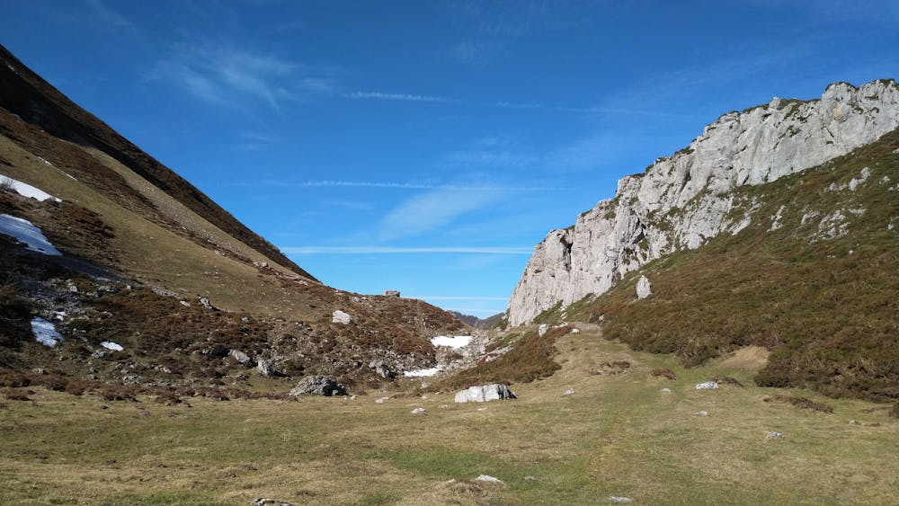
Hiking along trails with some uneven terrain and small hills. Small rocks and roots may be present.
Medium Exposure

The trail contains some obstacles such as outcroppings and rock which could cause injury.
Remoteness
Away from help but easily accessed.
Best time to visit
Features
- Wildlife
- Picturesque
- Summit Hike
- Dog friendly