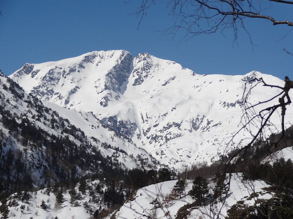
CaNaL CeNtRaL DeL MoNt-RoiG
A very classic line on the region. Attractive and very accesible from the emergency hut.
Also in Ariège, France
Freeride Skiing Moderate
- Distance
- 2.6 km
- Ascent
- 3 m
- Descent
- 930 m
- Low Point
- 1.9 km
- High Point
- 2.8 km
- Gradient
- 50˚

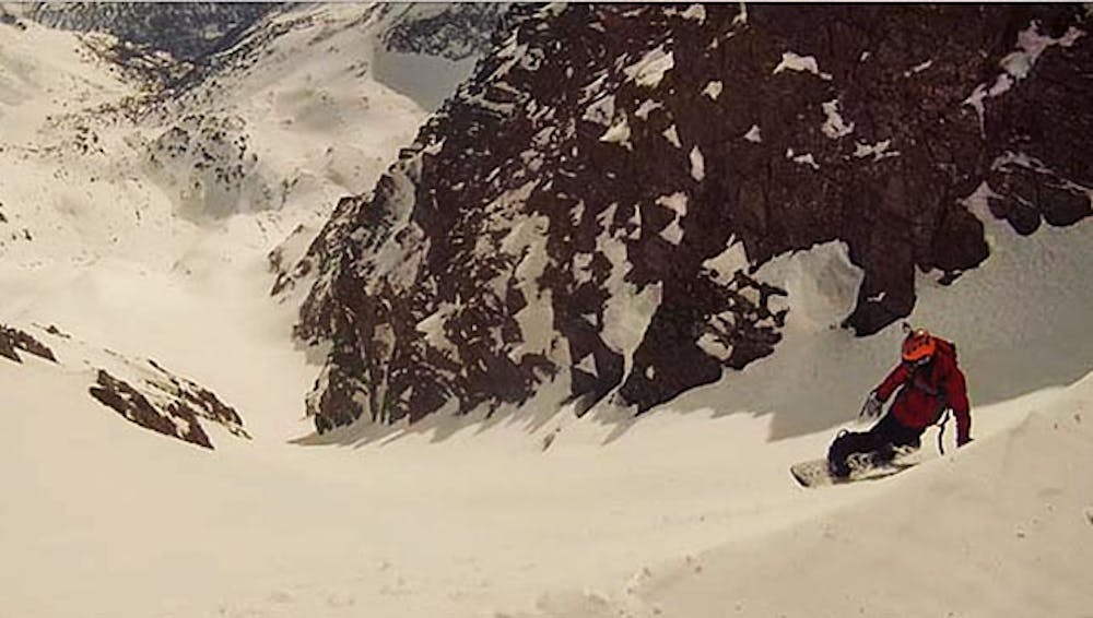
This is a popular freeride skiing route which is generally considered to be moderate. It's remote, it features medium exposure (e2) and is typically done between February and April. From a low point of 1.9 km to the maximum altitude of 2.8 km, the route covers 2.6 km, 3 vertical metres of ascent and 930 vertical metres of descent. You'll need skins, ice axe and crampons to complete it safely.
- •
- •
Description
A classical wide and homogenic couloir, after the top section you can continue with a narrowest and steepest couloir to achive the valley and continue descending to "Lo Fangassal".
Difficulty
Moderate
Slopes become slightly steeper at around 25-30 degrees.
Medium Exposure (E2)

As well as the slope itself, there are some obstacles (such as rock outcrops) which could aggravate injury.
Remoteness
Away from help but easily accessed.
Best time to visit
Features
- Couloir
Equipment required
- Skins
- Ice axe
- Crampons