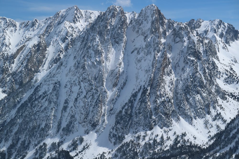
CaNaL CeNtRaL DelS EnCaNtAtS
An emblematic long line in an emblematic peak.
Freeride Skiing Difficult
- Distance
- 883 m
- Ascent
- 0 m
- Descent
- 644 m
- Low Point
- 2 km
- High Point
- 2.6 km
- Gradient
- 45˚

This is a popular freeride skiing route which is generally considered to be difficult. It's not remote, it features medium exposure (e2) and is typically done between February and April. From a low point of 2 km to the maximum altitude of 2.6 km, the route covers 883 m, 0 vertical metres of ascent and 644 vertical metres of descent. You'll need rope, skins, ice axe and crampons to complete it safely.
Description
On the lower section you will find a cliff that you should climb up (III) and later on when you are descending you should rappel it (15/30mts depending on the snow quantity). The line is very alpine, but not steep.
Difficulty
Difficult
Serious gradient of 30-38 degrees where a real risk of slipping exists.
Medium Exposure (E2)

As well as the slope itself, there are some obstacles (such as rock outcrops) which could aggravate injury.
Remoteness

Close to help in case of emergency.
Best time to visit
Features
- Couloir
Equipment required
- Rope
- Skins
- Ice axe
- Crampons