La GoLa DeL LloP
Obvious and very close to the hut.
Freeride Skiing Severe
- Distance
- 322 m
- Ascent
- 0 m
- Descent
- 272 m
- Low Point
- 2.3 km
- High Point
- 2.5 km
- Gradient
- 50˚

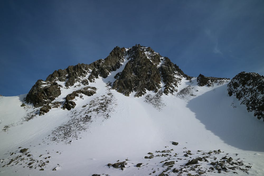
This is a popular freeride skiing route which is generally considered to be severe. It's remote, it features high exposure (e3) and is typically done between February and April. From a low point of 2.3 km to the maximum altitude of 2.5 km, the route covers 322 m, 0 vertical metres of ascent and 272 vertical metres of descent. You'll need rope, skins, ice axe and crampons to complete it safely.
Description
A narrow and steep top section with a 15m cliff that you should downclimb or rappel leaves you into the main wide couloir. Short but nice.
Difficulty
Severe
Steep skiing at 38-45 degrees. This requires very good technique and the risk of falling has serious consequences.
High Exposure (E3)

In case of a fall, death is highly likely.
Remoteness

Away from help but easily accessed.
Best time to visit
Features
- Cliffs
- Couloir
Equipment required
- Rope
- Skins
- Ice axe
- Crampons