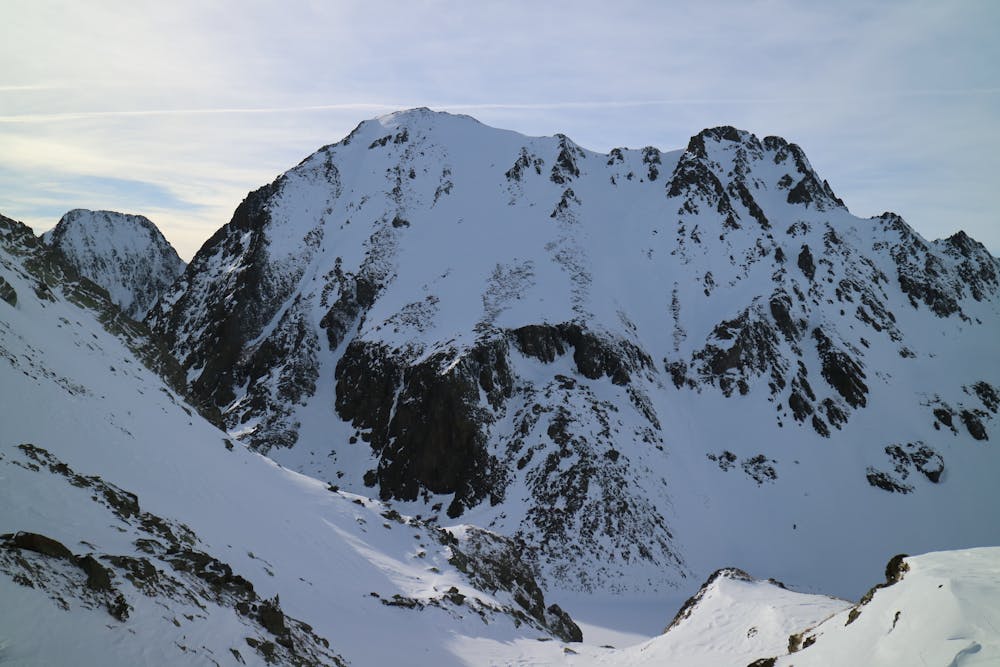
LaKe al CaP de La CoMa d'AbEll
Nice line close to "La Gola" hut.
Freeride Skiing Moderate
- Distance
- 466 m
- Ascent
- 0 m
- Descent
- 322 m
- Low Point
- 2.2 km
- High Point
- 2.6 km
- Gradient
- 43˚

This is a popular freeride skiing route which is generally considered to be moderate. It's remote, it features medium exposure (e2) and is typically done between February and April. From a low point of 2.2 km to the maximum altitude of 2.6 km, the route covers 466 m, 0 vertical metres of ascent and 322 vertical metres of descent. You'll need skins, ice axe and crampons to complete it safely.
Description
A wide descent with a more narrow and steep short mid section. To avoid on avalanche activity days.
Difficulty
Moderate
Slopes become slightly steeper at around 25-30 degrees.
Medium Exposure (E2)

As well as the slope itself, there are some obstacles (such as rock outcrops) which could aggravate injury.
Remoteness
Away from help but easily accessed.
Best time to visit
Features
- Face
- Couloir
Equipment required
- Skins
- Ice axe
- Crampons