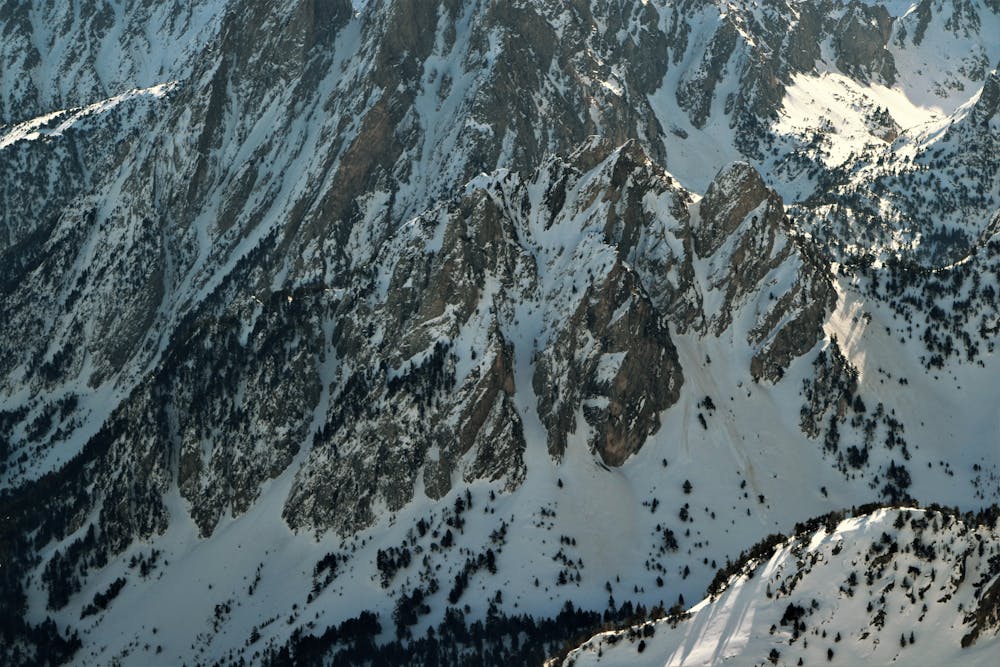
RaS-SaFaRi
Beautiful and logical line from the top of the peak.
Freeride Skiing Difficult
- Distance
- 415 m
- Ascent
- 0 m
- Descent
- 328 m
- Low Point
- 2.2 km
- High Point
- 2.5 km
- Gradient
- 49˚

This is a popular freeride skiing route which is generally considered to be difficult. It's remote, it features high exposure (e3) and is typically done between February and April. From a low point of 2.2 km to the maximum altitude of 2.5 km, the route covers 415 m, 0 vertical metres of ascent and 328 vertical metres of descent. You'll need skins, ice axe and crampons to complete it safely.
Description
A quite exposed top section that leaves us in the main couloir with some cliffs to play and jump.
Difficulty
Difficult
Serious gradient of 30-38 degrees where a real risk of slipping exists.
High Exposure (E3)

In case of a fall, death is highly likely.
Remoteness

Away from help but easily accessed.
Best time to visit
Features
- Face
- Couloir
Equipment required
- Skins
- Ice axe
- Crampons