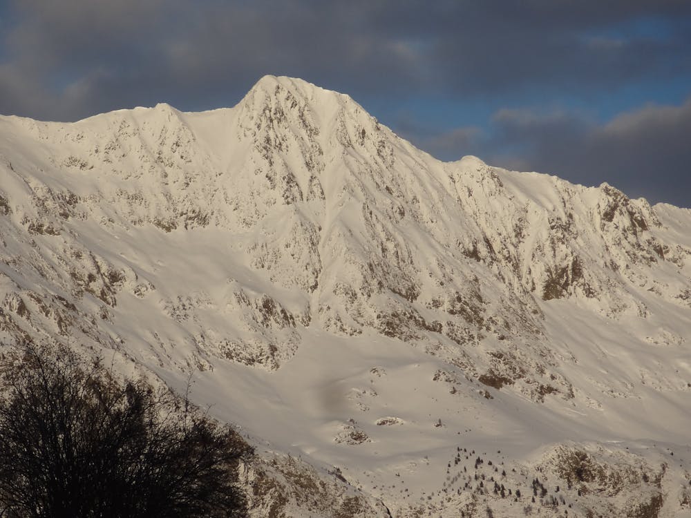
SoUtH PoRn
The line of the valley. An amazing descent facing South.
Also in Ariège, France
Freeride Skiing Difficult
- Distance
- 1.4 km
- Ascent
- 0 m
- Descent
- 868 m
- Low Point
- 1.7 km
- High Point
- 2.5 km
- Gradient
- 45˚

This is a popular freeride skiing route which is generally considered to be difficult. It's remote, it features high exposure (e3) and is typically done between February and April. From a low point of 1.7 km to the maximum altitude of 2.5 km, the route covers 1.4 km, 0 vertical metres of ascent and 868 vertical metres of descent. You'll need skins, ice axe and crampons to complete it safely.
Description
One of the lines of the whole region. The only thing to be aware of is the south facing orientation and the risk of avalanches depending on the snow conditions. Long and attractive descent.
Difficulty
Difficult
Serious gradient of 30-38 degrees where a real risk of slipping exists.
High Exposure (E3)

In case of a fall, death is highly likely.
Remoteness

Away from help but easily accessed.
Best time to visit
Features
- Face
- Trees
- Couloir
Equipment required
- Skins
- Ice axe
- Crampons