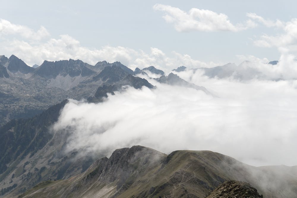
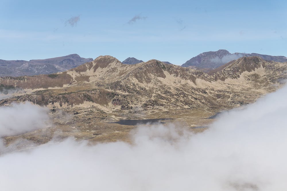
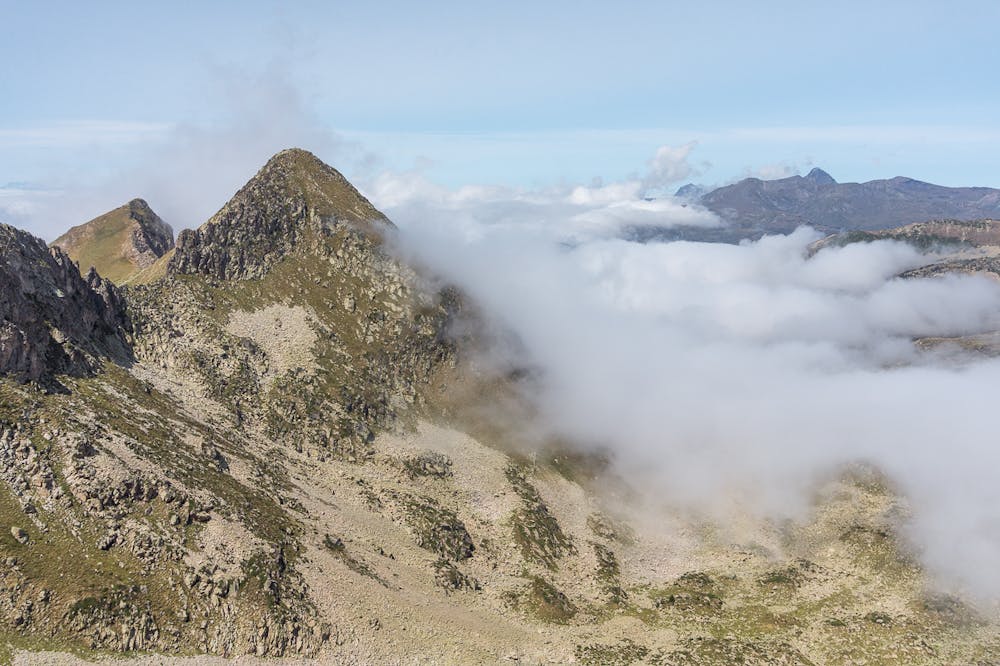
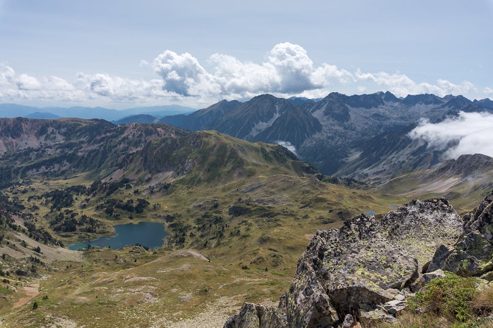
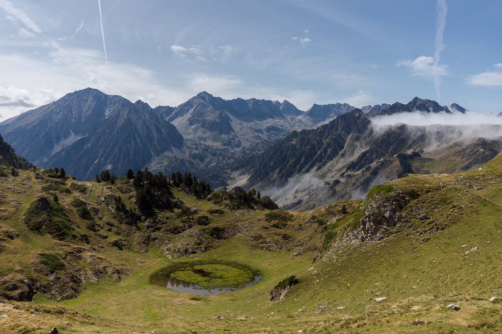
Cap del Muntanyó d’Àrreu
Baqueira-Beret
Walk up to a pic with amazing views in all directions
Hiking Moderate
- Distance
- 9.7 km
- Ascent
- 655 m
- Descent
- 655 m
- Duration
- 3-4 hrs
- Low Point
- 2.1 km
- High Point
- 2.6 km
- Gradient
- 15˚

This is a popular hiking route which is generally considered to be moderate. It's remote, it features medium exposure and is typically done between June and October. From a low point of 2.1 km to the maximum altitude of 2.6 km, the route covers 9.7 km, 655 vertical metres of ascent and 655 vertical metres of descent.
Description
ENGLISH | FRANÇAIS | ESPAÑOL
EN:
FR:
ES
Additional info here: https://www.nevasport.com/eMotion365/art/59390/excursiones-y-rutas-por-baqueira/
Difficulty
Moderate
Hiking along trails with some uneven terrain and small hills. Small rocks and roots may be present.
Medium Exposure

The trail contains some obstacles such as outcroppings and rock which could cause injury.
Remoteness
Away from help but easily accessed.
Best time to visit
Features
- Alpine
- Summit Hike