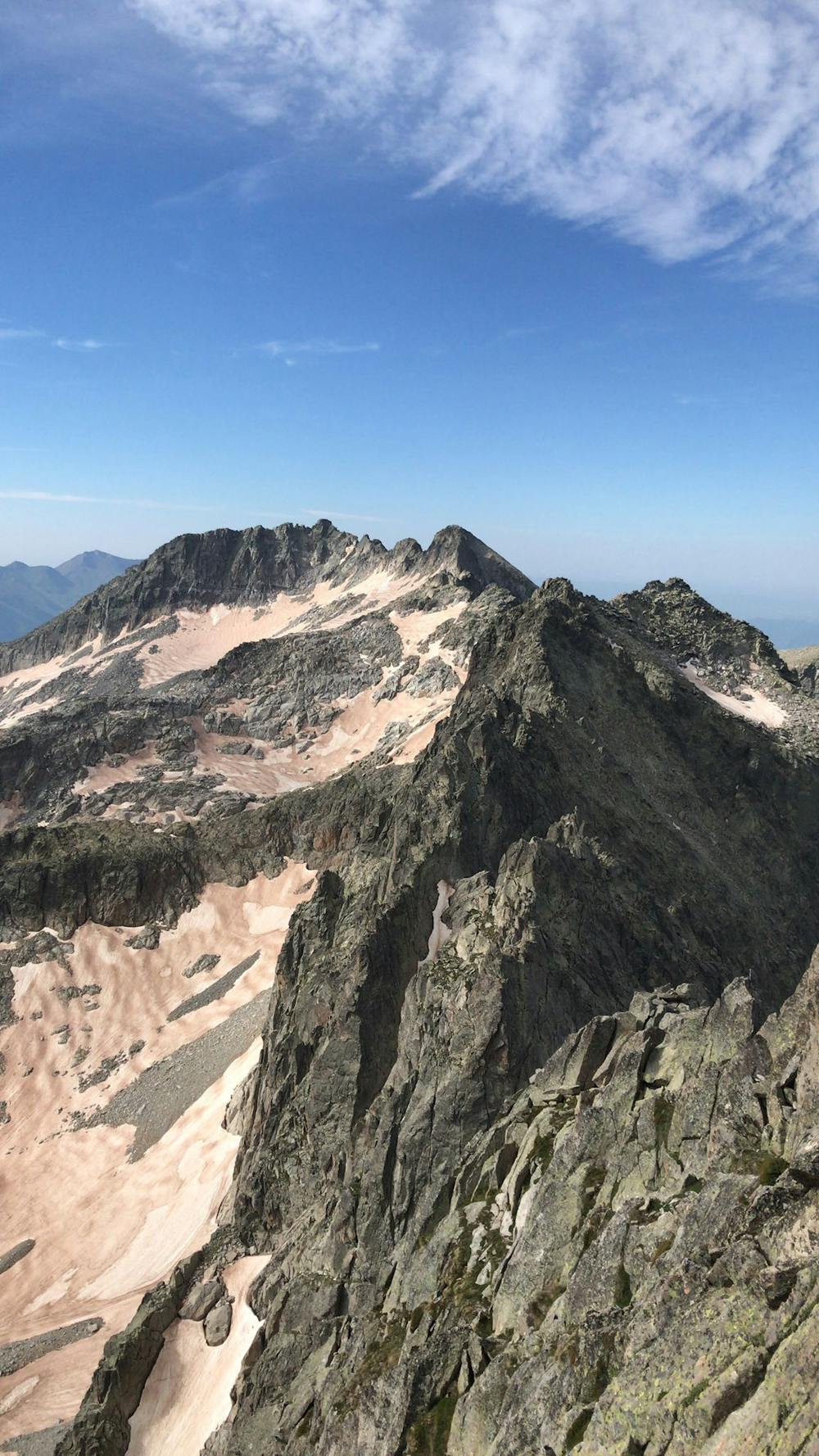
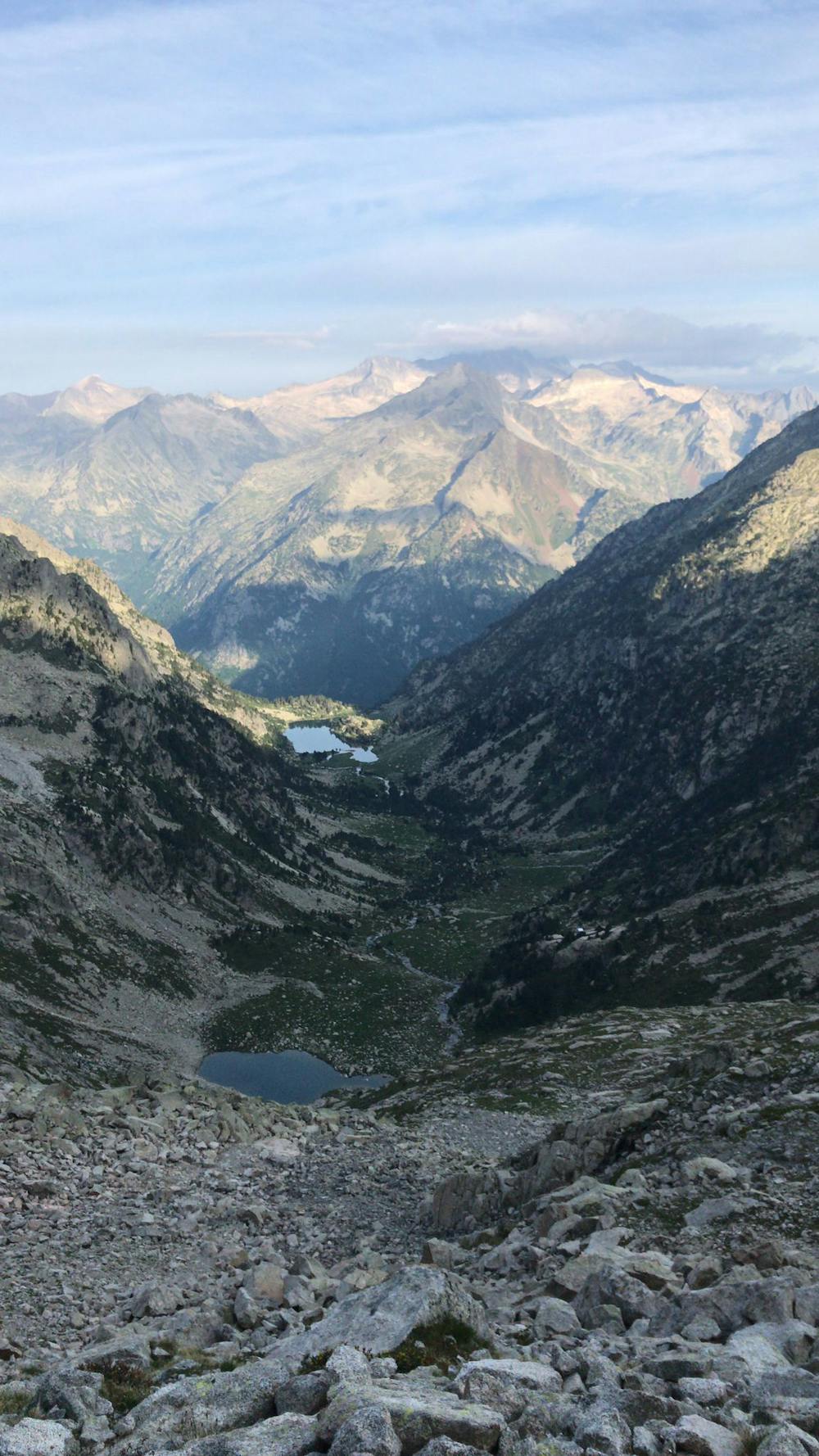
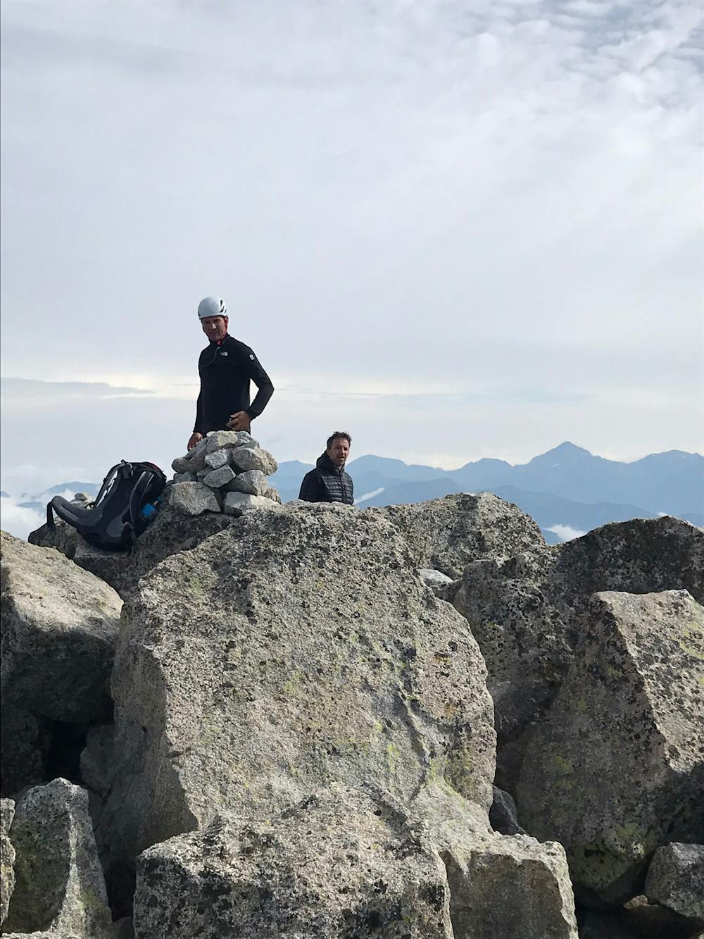
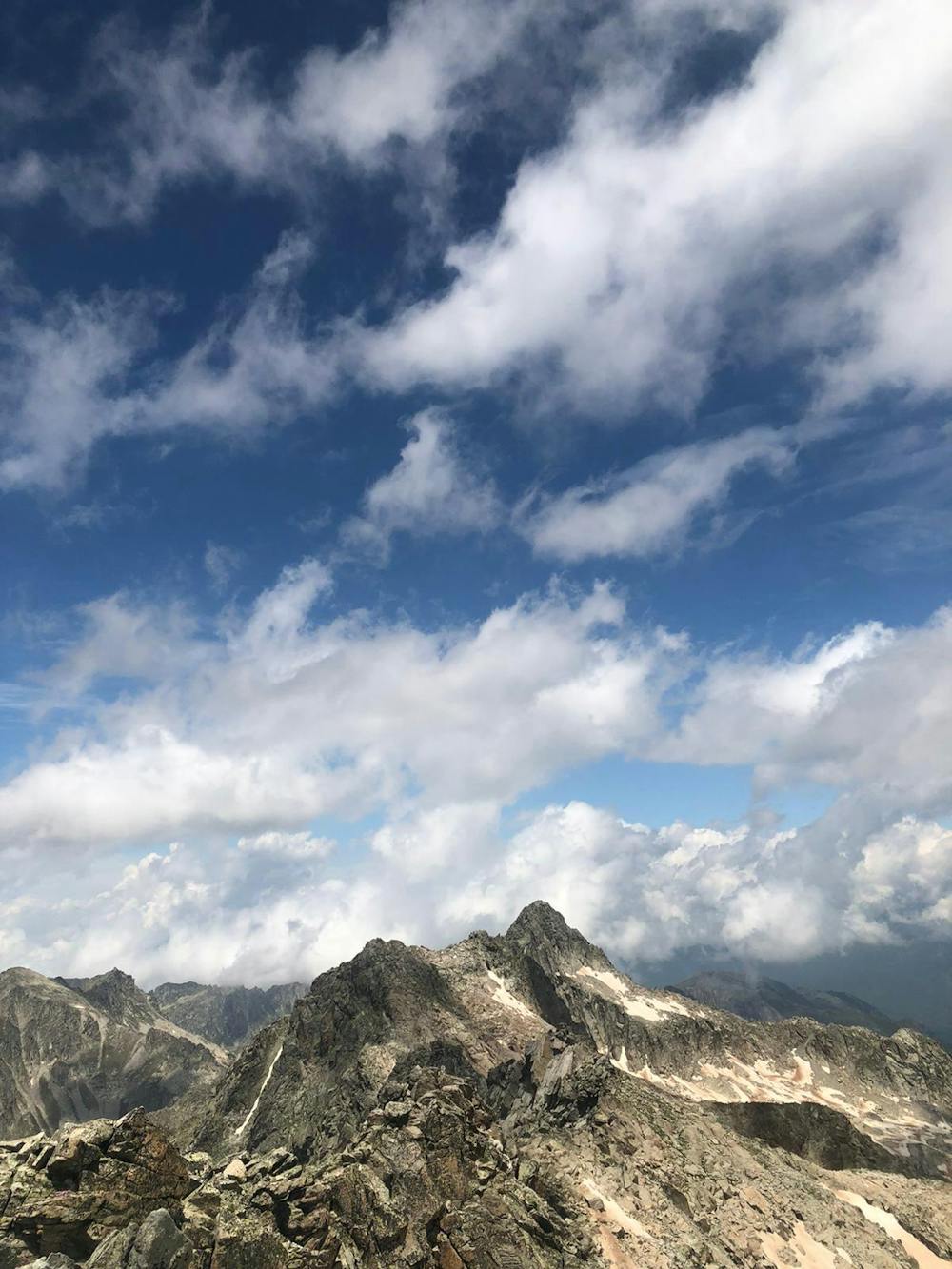
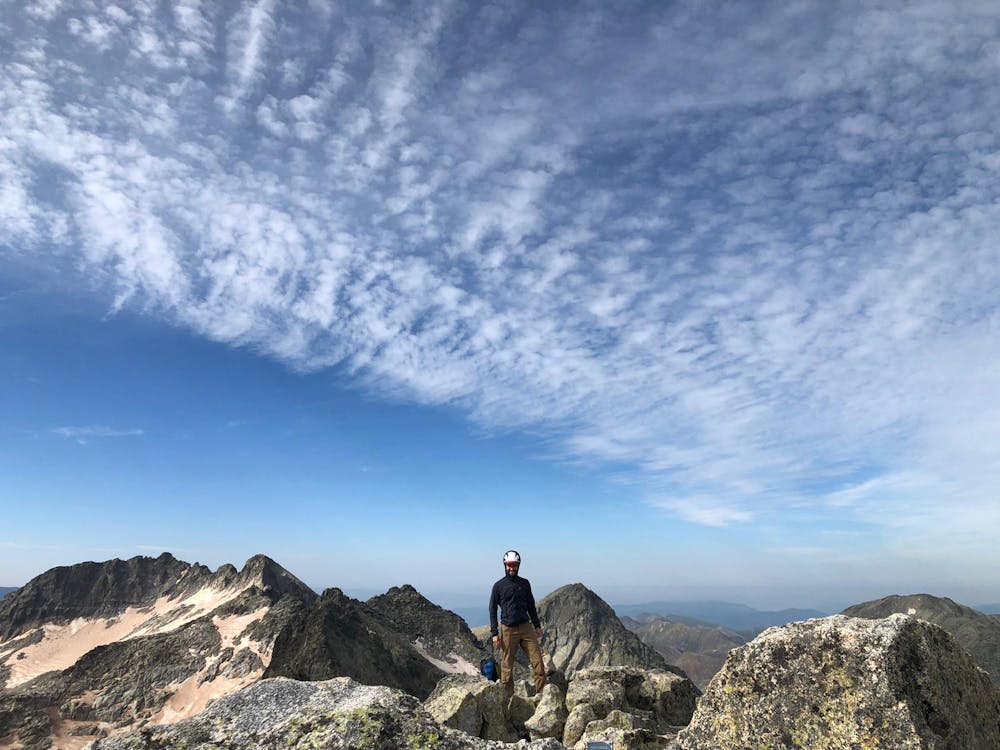
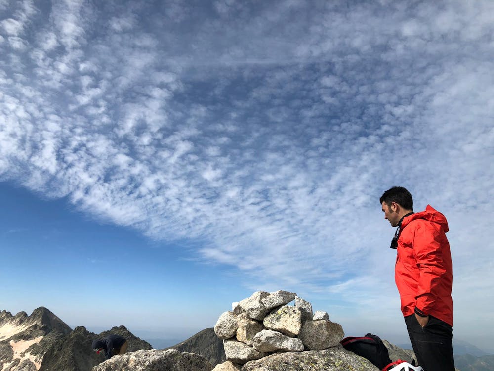
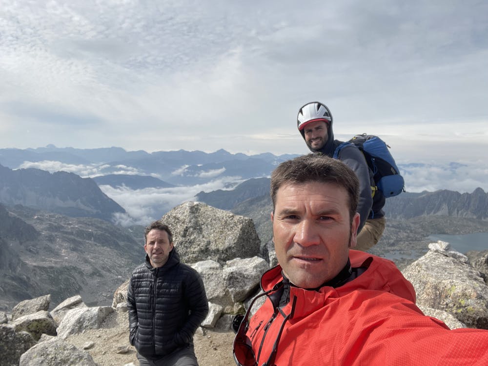
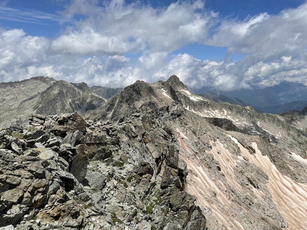
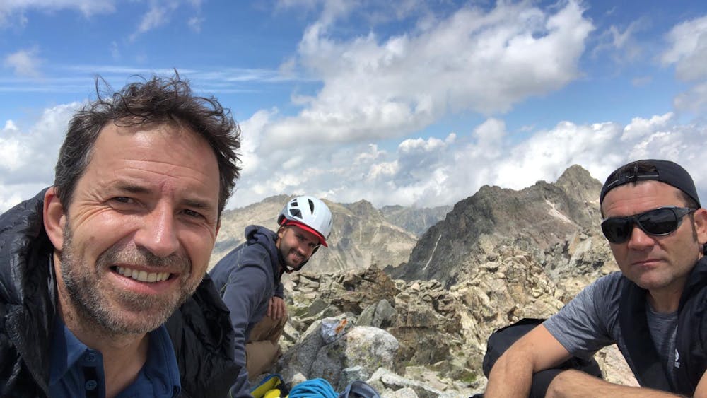
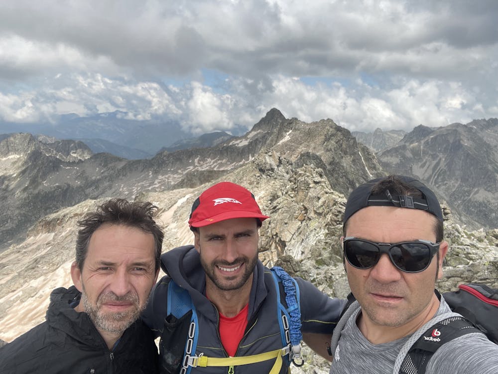
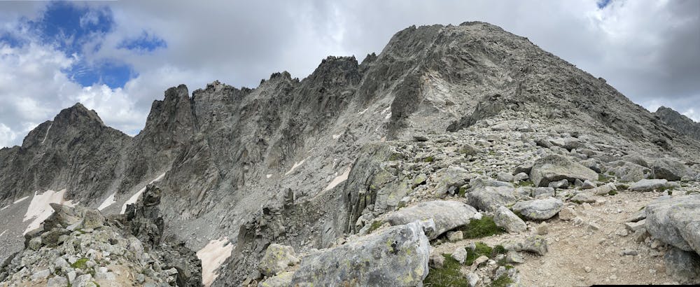
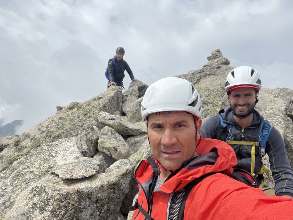
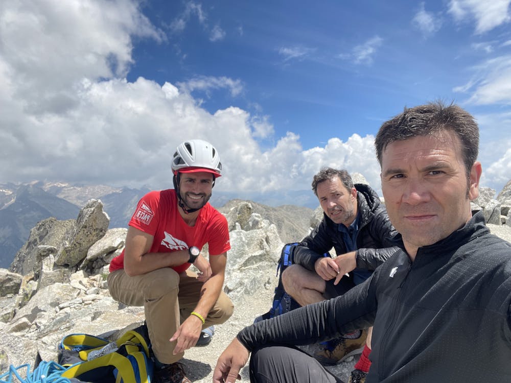
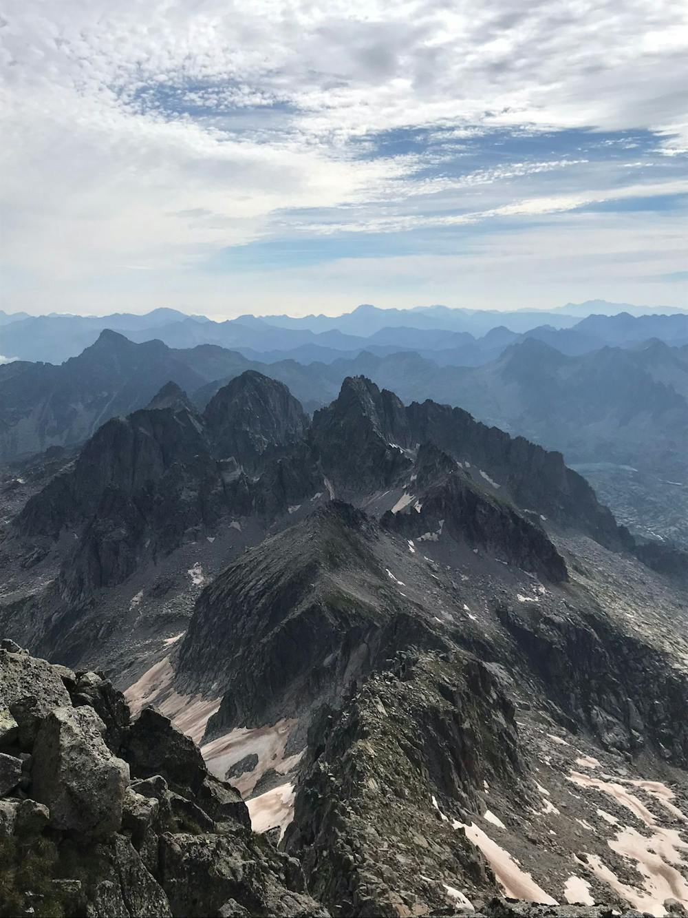
Cresta dels Besiberris
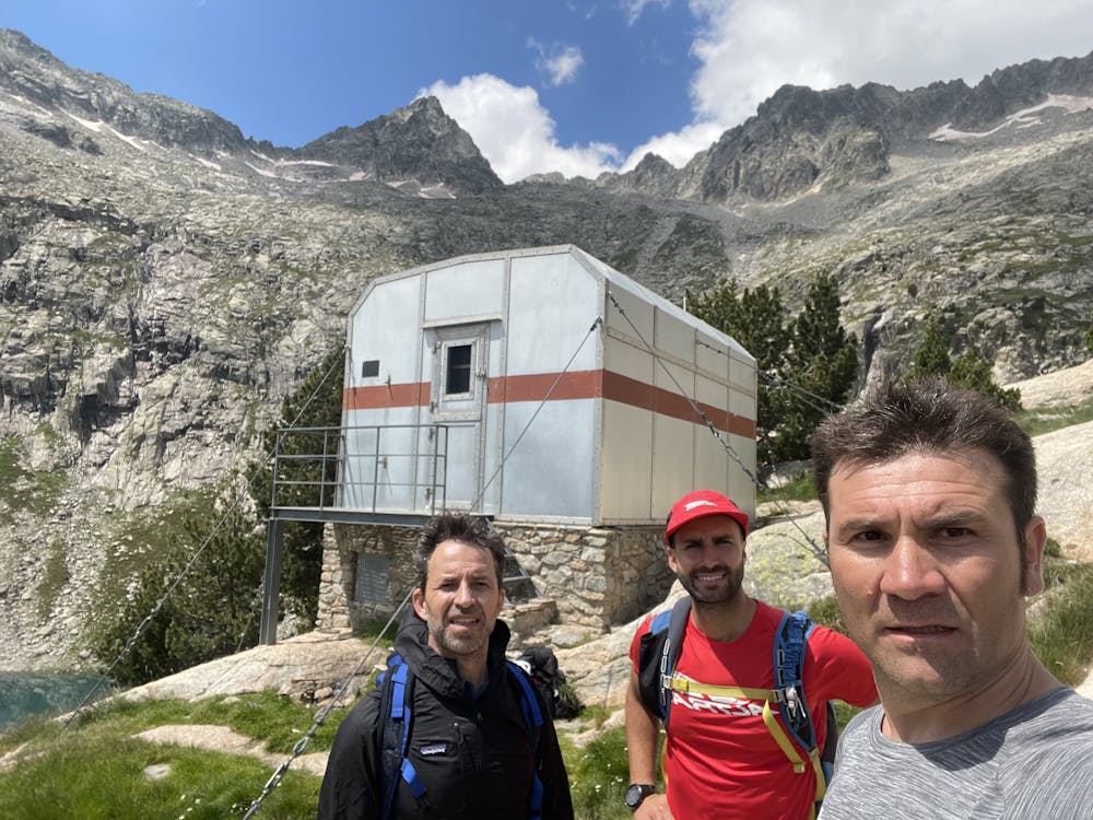
Cresta integral dels Besiberris i Comaloformo des de Conangles fent nit al refugi de Besiberri
Hiking Difficult
- Distance
- 16 km
- Ascent
- 1.8 km
- Descent
- 1.8 km
- Duration
- 6-7 hrs
- Low Point
- 1.5 km
- High Point
- 3 km
- Gradient
- 26˚

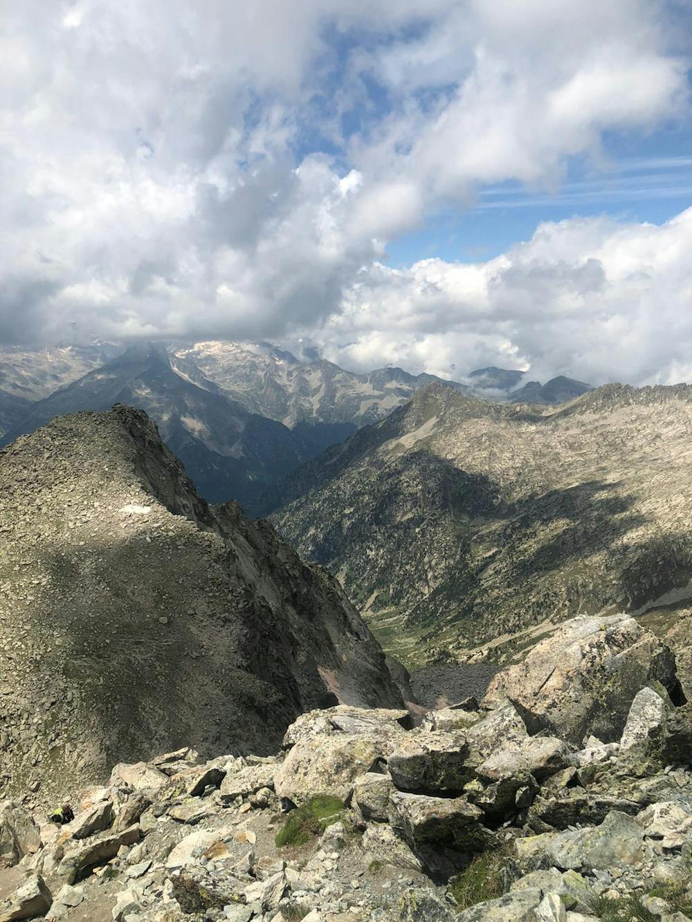
This is a popular hiking route which is generally considered to be difficult. It's very remote, it features medium exposure and is typically done between June and September. From a low point of 1.5 km to the maximum altitude of 3 km, the route covers 16 km, 1783 vertical metres of ascent and 1786 vertical metres of descent.
- •
- •
- •
- •
- •
- •
- •
- •
- •
- •
- •
- •
- •
- •
- •
- •
- •
Description
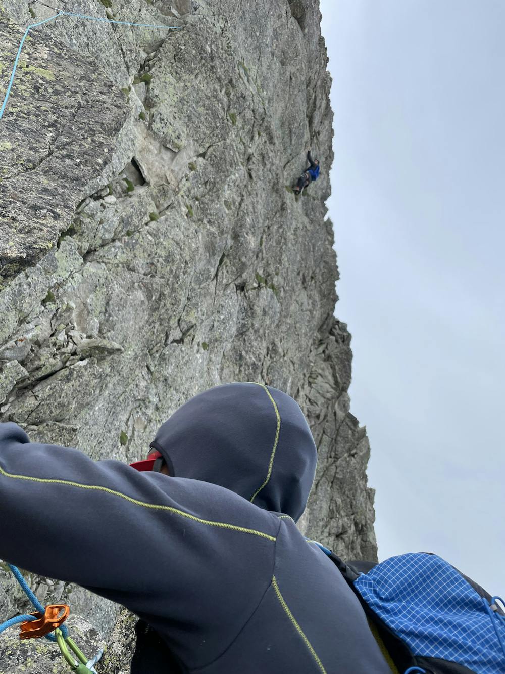
Ruta clàssica molt llarga i dura físicament. Moments d'exposició i risc vertical en què cal encordar-se i fer ràpel. En l'aproximació i la tornada és inevitable creuar neveros, aconsellable portar uns grampons lleugers per seguretat i comoditat.
Difficulty
Difficult
Hiking trails where obstacles such as rocks or roots are prevalent. Some obstacles can require care to step over or around. At times, the trail can be worn and eroded. The grade of the trail is generally quite steep, and can often lead to strenuous hiking.
Medium Exposure

The trail contains some obstacles such as outcroppings and rock which could cause injury.
Remoteness

Little chance of being seen or helped in case of an accident.
Best time to visit
Features
- Alpine
- Historical
- Picturesque
- Summit Hike
- Wild flowers