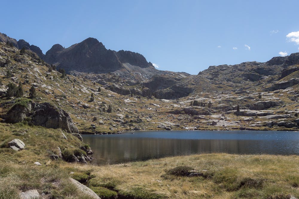
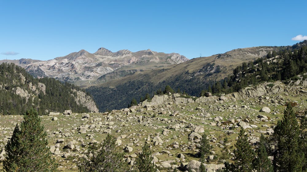
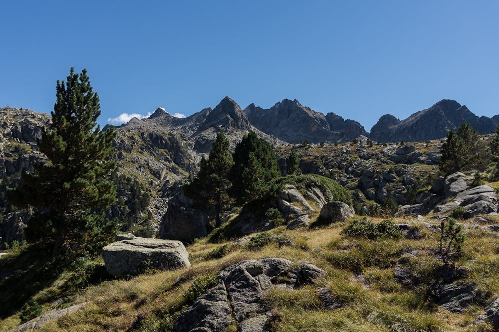
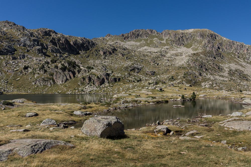
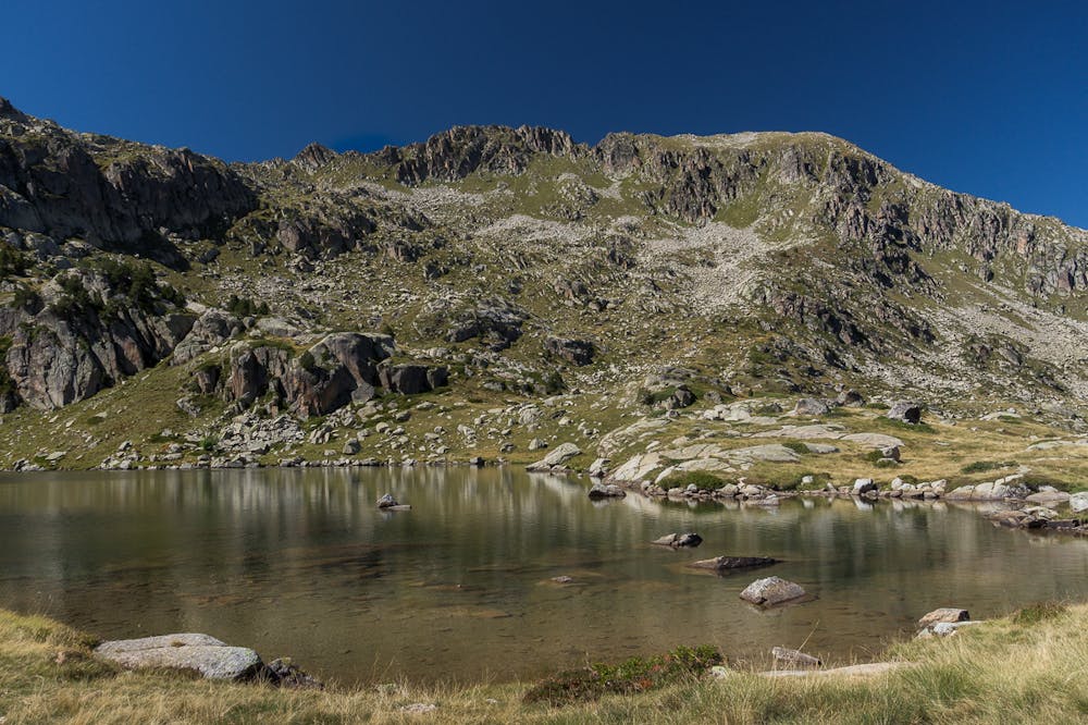
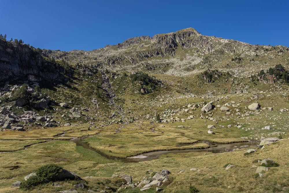
Refugi de Saboredo and its lakes
Baqueira-Beret
Walk to one of the mountain refuges of the famous Carros de Foc
Hiking Moderate
- Distance
- 13 km
- Ascent
- 606 m
- Descent
- 606 m
- Duration
- 3-4 hrs
- Low Point
- 1.7 km
- High Point
- 2.3 km
- Gradient
- 7˚

This is a popular hiking route which is generally considered to be moderate. It's not remote, it features low exposure and is typically done between June and October. From a low point of 1.7 km to the maximum altitude of 2.3 km, the route covers 13 km, 606 vertical metres of ascent and 606 vertical metres of descent.
- •
- •
- •
- •
- •
- •
Description
ENGLISH | FRANÇAIS | ESPAÑOL
EN:
FR:
ES
Additional info here: https://www.nevasport.com/eMotion365/art/59390/excursiones-y-rutas-por-baqueira/
Difficulty
Moderate
Hiking along trails with some uneven terrain and small hills. Small rocks and roots may be present.
Low Exposure

The path is on completely flat land and potential injury is limited to falling over.
Remoteness
Close to help in case of emergency.
Best time to visit
Features
- Picturesque
- Wild flowers
- Water features