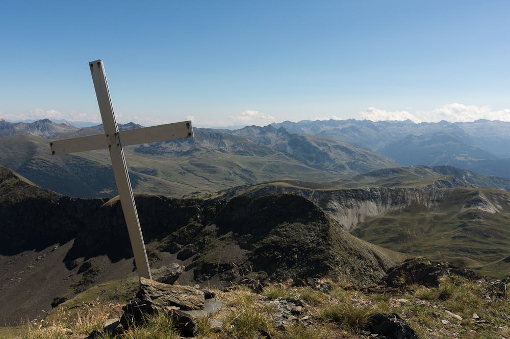
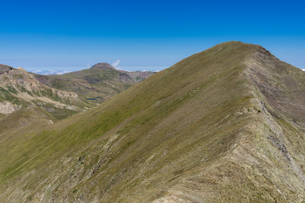
Tuc de Parros summit
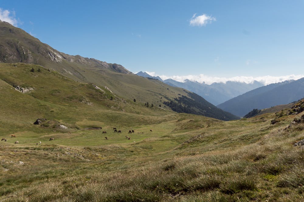
Baqueira-Beret
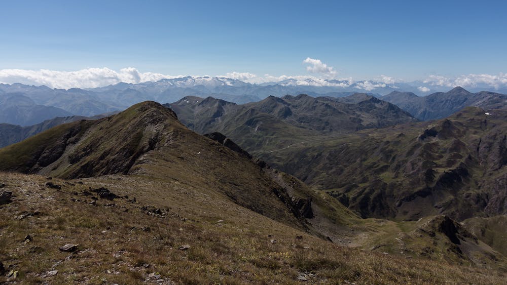
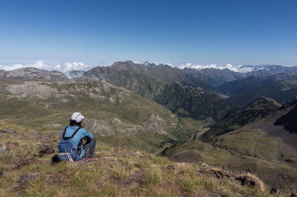
Walk up to one of the highest pics of Pla de Beret area
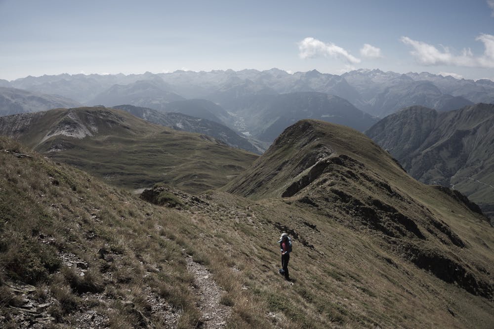
Hiking Moderate
- Distance
- 19 km
- Ascent
- 1.1 km
- Descent
- 1.1 km
- Duration
- 5-6 hrs
- Low Point
- 1.8 km
- High Point
- 2.7 km
- Gradient
- 16˚

This is a popular hiking route which is generally considered to be moderate. It's not remote, it features medium exposure and is typically done between June and October. From a low point of 1.8 km to the maximum altitude of 2.7 km, the route covers 19 km, 1081 vertical metres of ascent and 1081 vertical metres of descent.
- •
- •
- •
- •
- •
- •
- •
- •
Description
ENGLISH | FRANÇAIS | ESPAÑOL
EN:
FR:
ES
Additional info here: https://www.nevasport.com/eMotion365/art/59390/excursiones-y-rutas-por-baqueira/
Difficulty
Moderate
Hiking along trails with some uneven terrain and small hills. Small rocks and roots may be present.
Medium Exposure

The trail contains some obstacles such as outcroppings and rock which could cause injury.
Remoteness

Close to help in case of emergency.
Best time to visit
Features
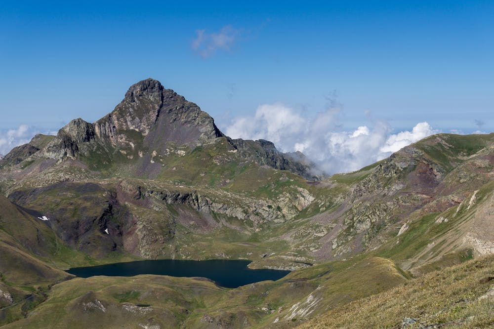
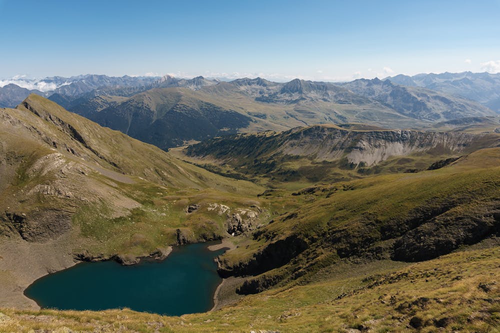
- Alpine
- Wildlife
- Picturesque
- Summit Hike