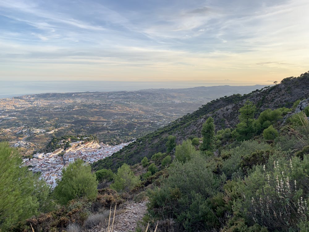
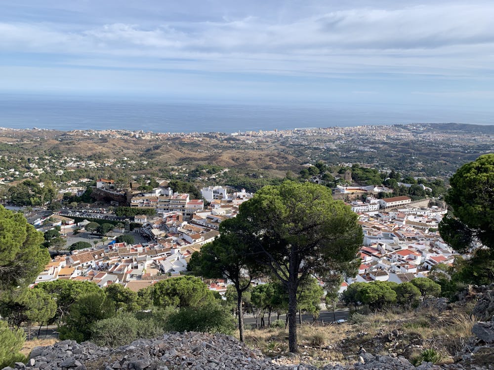
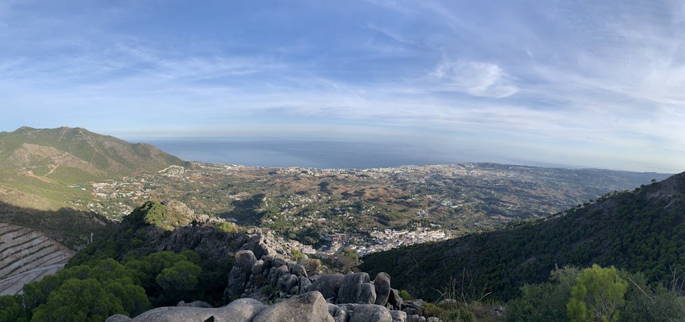
Loop above Mijas Pueblo with stunning Mediterranean views!
A great one hour hike with steep uphill and views as your reward.
Hiking Moderate
- Distance
- 6.2 km
- Ascent
- 414 m
- Descent
- 411 m
- Duration
- 1-2 hrs
- Low Point
- 431 m
- High Point
- 830 m
- Gradient
- 12˚

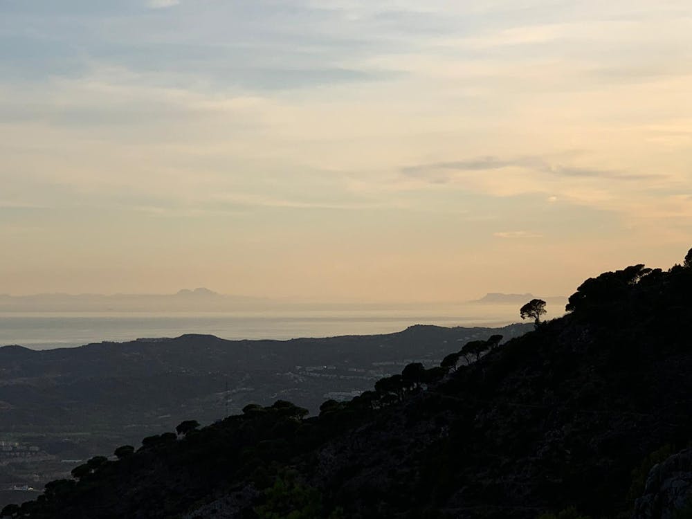
This is a popular hiking route which is generally considered to be moderate. It's not remote, it features low exposure and is typically done between September and June. From a low point of 431 m to the maximum altitude of 830 m, the route covers 6.2 km, 414 vertical metres of ascent and 411 vertical metres of descent.

- •
- •
- •
- •
- •
- •
- •
- •
- •
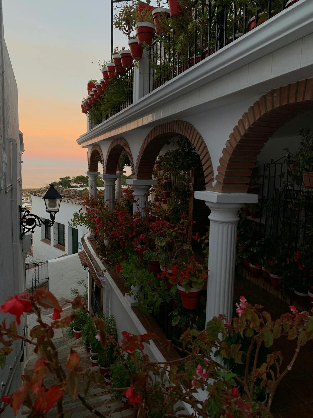
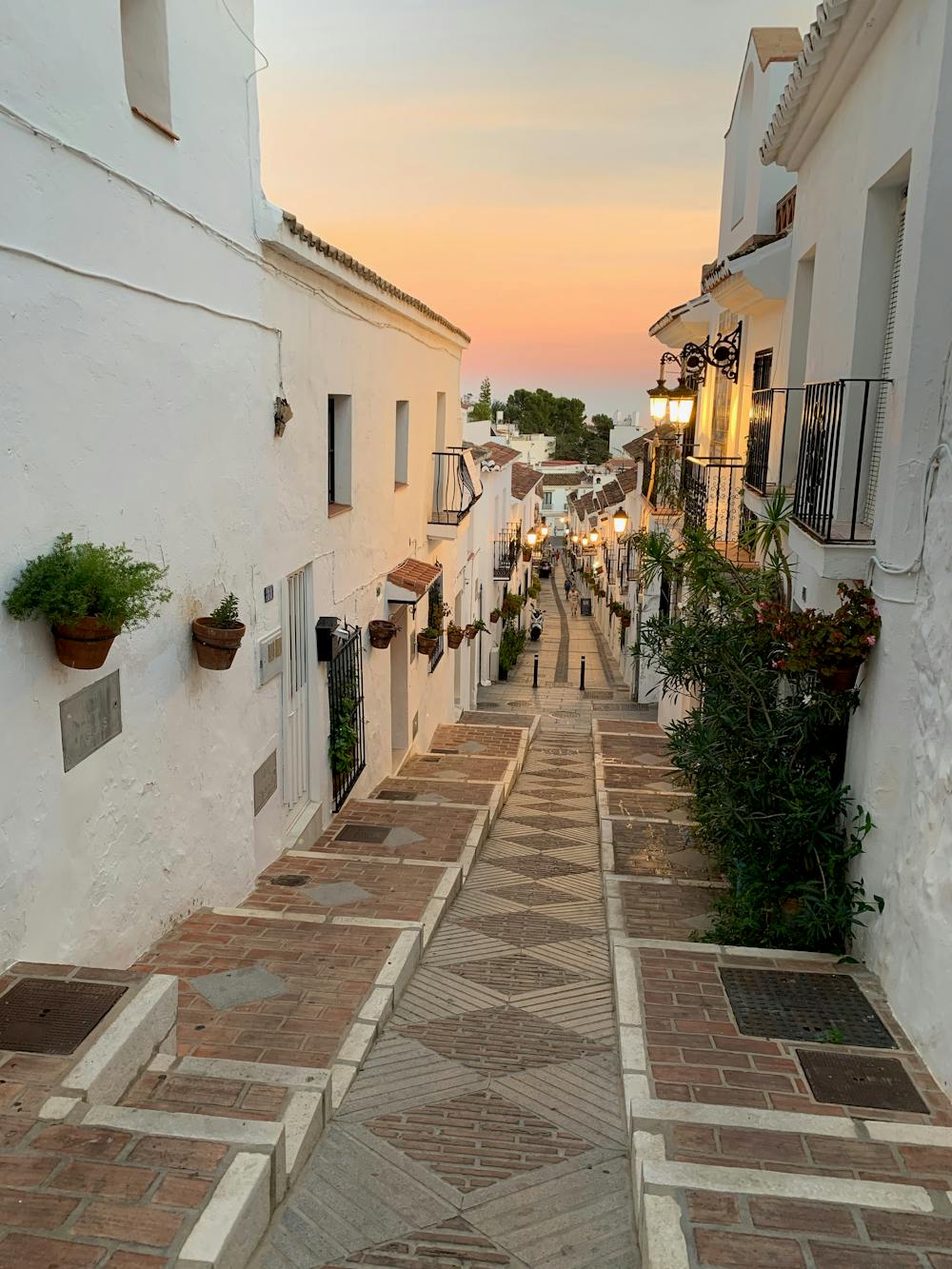
Description
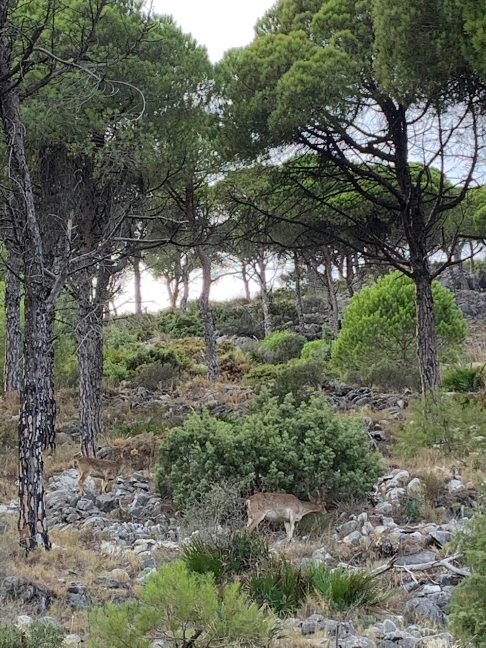
Loose rocks can be tricky and it´s steep in sections but the downhill whilst longer is less steep. And if if you're silent you might even bump into a wild mountain-goat herd...
Difficulty
Moderate
Hiking along trails with some uneven terrain and small hills. Small rocks and roots may be present.
Low Exposure

The path is on completely flat land and potential injury is limited to falling over.
Remoteness
Close to help in case of emergency.
Best time to visit
Features
- Wildlife
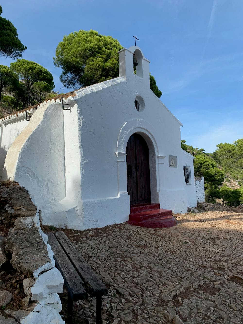
- Picturesque
- Wild flowers