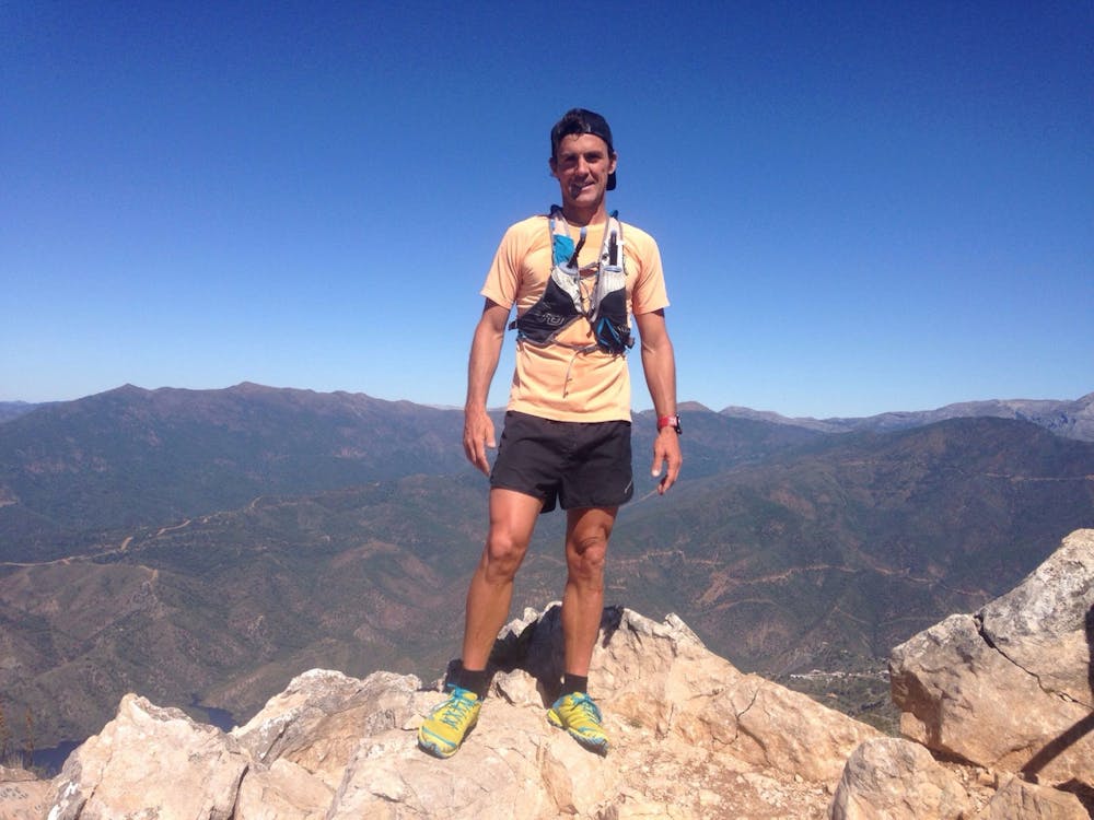
La Concha (south face)
La Concha through south ridge
Trail Running Extreme
- Distance
- 9 km
- Ascent
- 1 km
- Descent
- 1.1 km
- Duration
- 2-3 hrs
- Low Point
- 166 m
- High Point
- 1.2 km
- Gradient
- 24˚

This is a popular trail running route which is generally considered to be extreme. It's very remote, it features extreme exposure and is typically done between September and June. From a low point of 166 m to the maximum altitude of 1.2 km, the route covers 9 km, 1019 vertical metres of ascent and 1052 vertical metres of descent.
Description
Direct route from Nagüeles area to La Concha.
Difficulty
Extreme
Extreme Exposure

Some trail sections are extremely exposed where falling will almost certainly result in serious injury or death.
Remoteness

Little chance of being seen or helped in case of an accident.