Transvulcania 75K
Ultramarathon at Transvulcania by UTMB
Trail Running Severe
- Distance
- 73 km
- Ascent
- 4.4 km
- Descent
- 4.1 km
- Duration
- 1 day +
- Low Point
- 8 m
- High Point
- 2.4 km
- Gradient
- 18˚
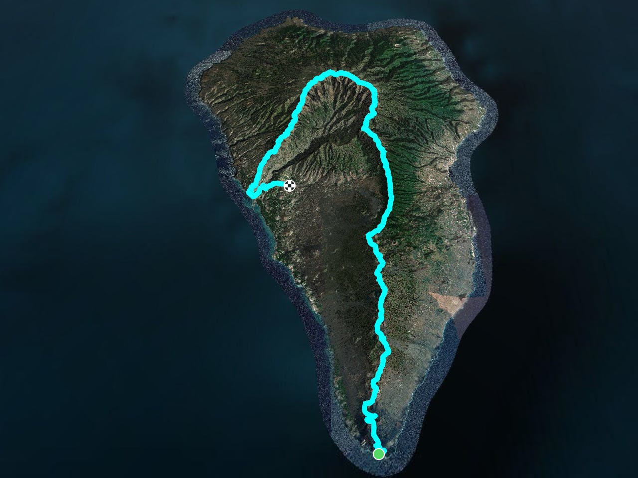
This is a popular trail running route which is generally considered to be severe. It's not remote, it features high exposure and is typically done in undefined. From a low point of 8 m to the maximum altitude of 2.4 km, the route covers 73 km, 4424 vertical metres of ascent and 4081 vertical metres of descent.
Description
Ultra trail across La Palma island.
Difficulty
Severe
High Exposure

Some trail sections have exposed ledges or steep ascents/descents where falling could cause serious injury.
Remoteness

Close to help in case of emergency.