Nomads² Up Nasser reservoir
Nomads² Blog post #25 ferry crossing
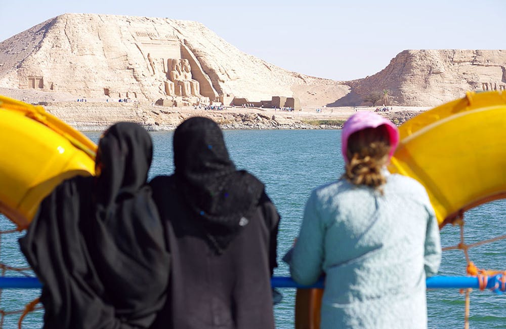
Also in Al Wadi at Jadid, Egypt • Aswan, Egypt
Mountain Biking Extreme
- Distance
- 370 km
- Ascent
- 7 m
- Descent
- 10 m
- Duration
- 1 day +
- Low Point
- 179 m
- High Point
- 187 m
- Gradient
- 0˚

This is a popular mountain biking route which is generally considered to be extreme. It's an unknown remoteness, it features unknown exposure and is typically done in an unknown time of year. From a low point of 179 m to the maximum altitude of 187 m, the route covers 370 km, 7 vertical metres of ascent and 10 vertical metres of descent.
Description
Cycling towards the nomadic people inhabiting between the northernmost point of Europe, North Cape, and the southern terminal of the African continent, Cape Agulhas…Nomads²: nomads by nomads, from cape to cape…a cycling odyssey!
Difficulty
Extreme
Very steep, difficult, narrow singletrack with widely variable and unpredictable trail conditions. Unavoidable obstacles could be 15in/38cm tall or greater, and unavoidable obstacles with serious consequences are likely to be present. Obstacles could include big rocks, difficult root sections, drops, jumps, sharp switchbacks, and more. Ideal for expert-level riders.