Kåtotjåkka North Face
An amazing descent in Swedish Lapland
Ski Touring Extreme
- Distance
- 13 km
- Ascent
- 1.4 km
- Descent
- 1.4 km
- Duration
- 6-7 hrs
- Low Point
- 766 m
- High Point
- 2 km
- Gradient
- 41˚

Kåtotjåkko is an amazing mountain for touring. It is the highest mountain in the Mårma massif and is located approximately 30km from the village of Abisko.
Description
During the busy spring season, many heliski operators work in the area but you can have a much richer outdoor experience by going camping in the area or at least climbing the mountain if you choose to do only a day trip. Either way, your options for reaching the mountain are the following; You can either tour from Abisko for 30km or organise transport for your preferred camping location.
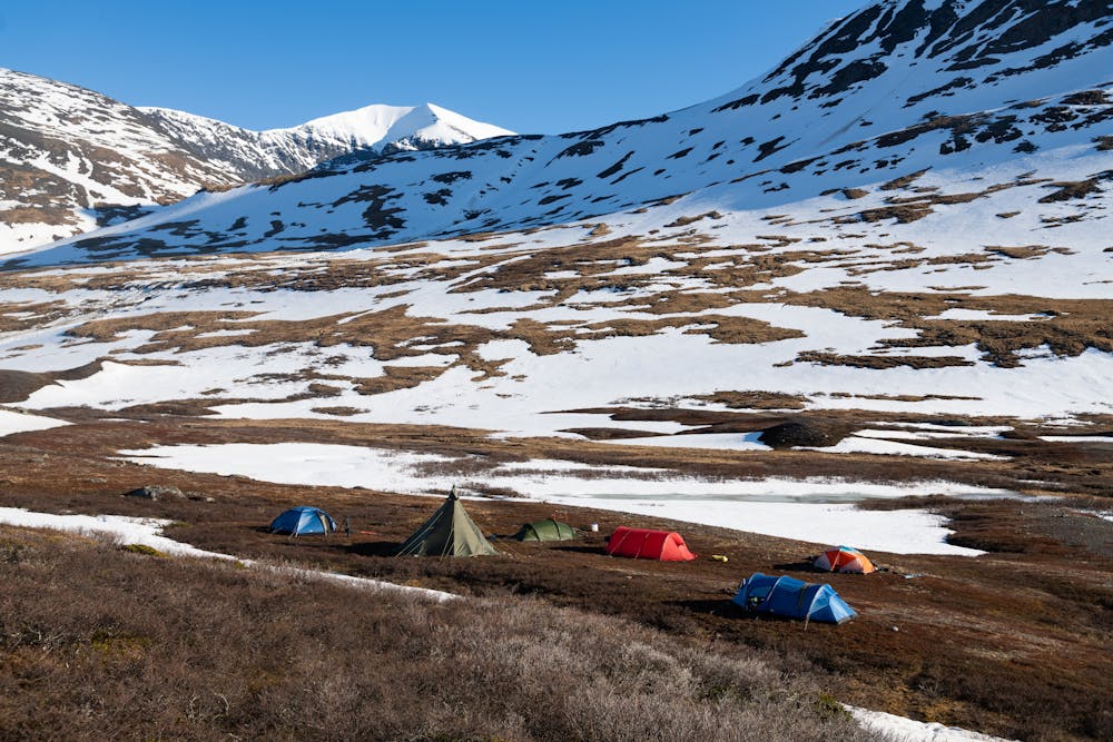
This route description is made from the campsite which we used during the filming of Arctic Lines.
Start from the camp and head toward the east. There are two gullies coming down from the higher plateau. Choose the one furthest to the east and skin up. This is easy touring.
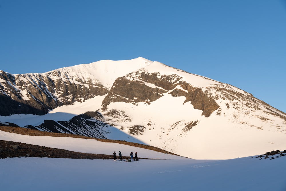
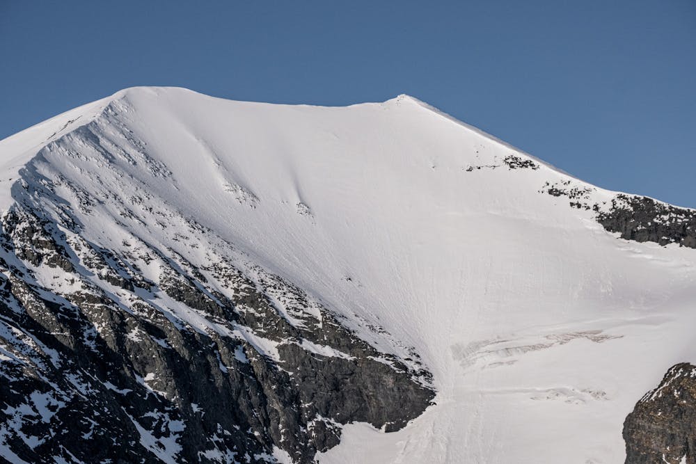
Once you’ve reached the top of the gully, continue a bit until you see a lake. This is a good spot to take a break - use binoculars if you have them and scout the amazing object of your day, Kåtotjåkko North Face.
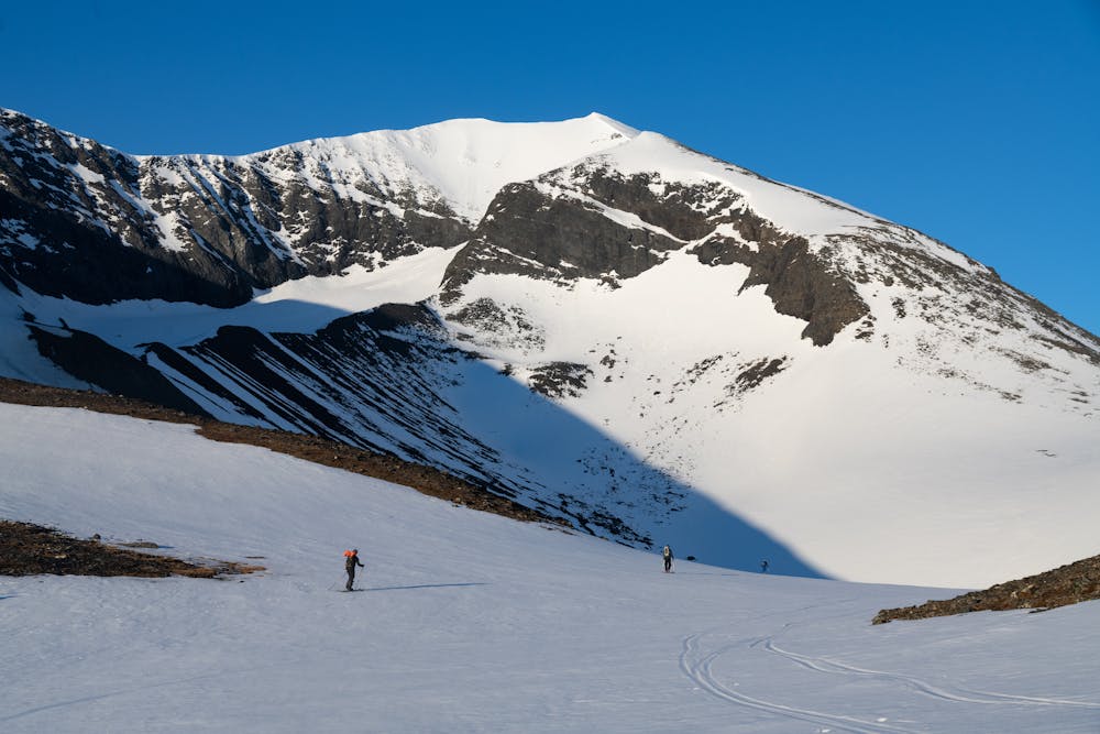
Continue touring over the lake. If you choose to attempt this late in the spring or summer, make sure the ice is strong enough! Otherwise you can tour on the shore. Once you are on the other side of the lake start touring up the rolling open field. This field will ultimately take you to the start of the Goduglacier on the west side of Kåtotjåkka.
When you arrive at the plateau near the glacier you have a decision to make. Do you climb up the west face or continue touring all the way to the coal in the far end of the west face?
Climbing the face can be an option if the snow is soft and stable. The face is avalanche terrain and you will feel exposed to it so conditions need to be stable. Climbing will take a lot of energy compared to the longer and mellower route that goes all the way around the west face but it will get you to the ridge with less effort.
If you choose to use the mellow route you will have much more time to skin up towards the object.
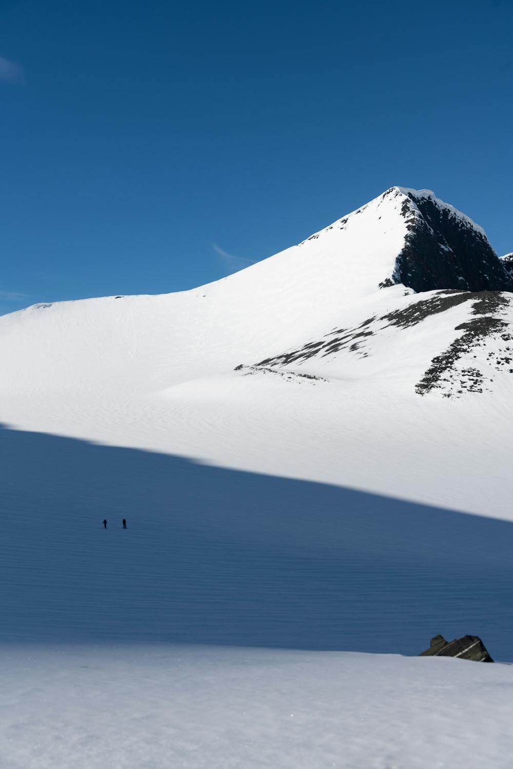
Once you arrive at the north-west end of the ridge, you should start carrying your equipment and boot back the rest of the tour. Remember to use crampons and an ice axe.
There are some cornices that need to be looked at but if you stay more on the west-facing side you should be fine. Continue along the ridge once you are on the top of Kåtotjåkka's west summit. Here you will get to see the line clearly and this is also a good point to make decisions. If you want to descend the line from the top, use the top ridge and walk to the east summit. This is the highest point of the mountain and this is where you want to start your descent!
If everything looks good, go for it -this is a spectacular descent!
The snow might be sluffing a bit so remember to navigate the route away from the sluff zones. Once you reach the bottom of the line be aware of the bergschrund. There are crevasses in this area and you must know which route to choose to get around them safely.
When you are past the bergschrund make your way down long and super nice mellower terrain - this will take you back towards the lake on the bottom. This is a leg burner so take breaks if needed! Once you see the lake, take a high traverse back towards the gully you skinned up so you don’t have to walk.
Drop into the gully and enjoy some fun big turns. Traverse back towards the camp until you are at the bottom and tour the rest of the trip until you reach the camp.
Difficulty
Extreme
Extreme skiing terrain above 45 degrees. These routes are reserved for experienced experts.
High Exposure (E3)

In case of a fall, death is highly likely.
Remoteness

In the high mountains or remote conditions, all individuals must be completely autonomous in every situation.
Best time to visit
Features
- Face
- Alpine
- Single Descent
- Ski Mountaineering
Equipment required
- Rope
- Skins
- Ice axe
- Crampons
- Glacier kit