Björnfällan original
Use our legs and arms a bit to find excellent snow.
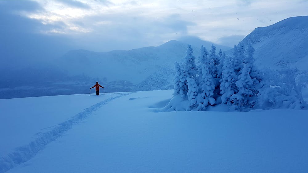
Ski Touring Moderate
- Distance
- 1.5 km
- Ascent
- 8 m
- Descent
- 338 m
- Duration
- 0-1 hrs
- Low Point
- 642 m
- High Point
- 972 m
- Gradient
- 32˚

This is a popular ski touring route which is generally considered to be moderate. It's not remote, it features medium exposure (e2) and is typically done between February and April. From a low point of 642 m to the maximum altitude of 972 m, the route covers 1.5 km, 8 vertical metres of ascent and 338 vertical metres of descent.
Description
The original way to Björnfällan. A higher intrance to the ravine. You go directly from the T-bar. Quite easy access to magnificent snow. If there is no tracks: Aim for the small hill with just a few trees.
Difficulty
Moderate
Slopes become slightly steeper at around 25-30 degrees.
Medium Exposure (E2)

As well as the slope itself, there are some obstacles (such as rock outcrops) which could aggravate injury.
Remoteness

Close to help in case of emergency.