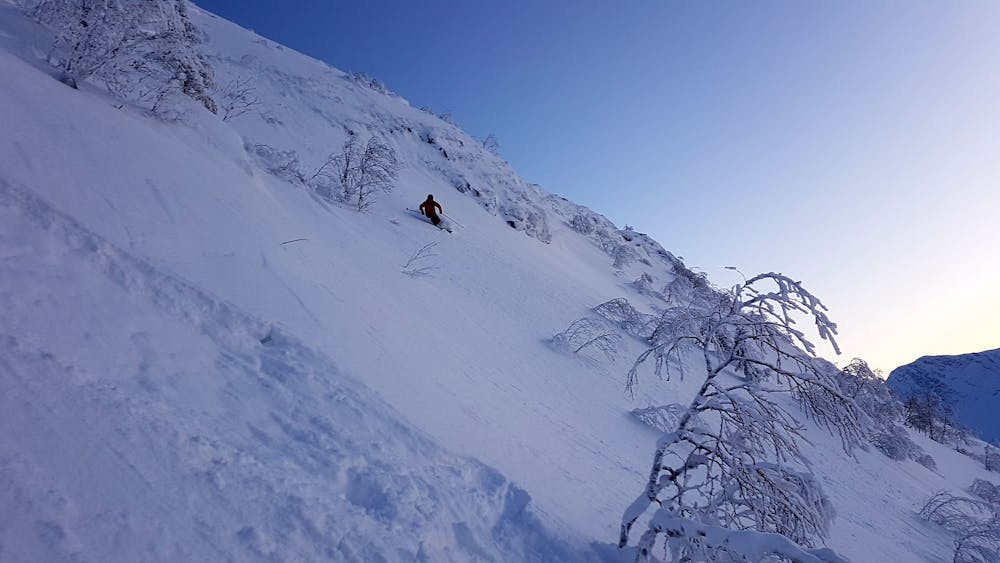
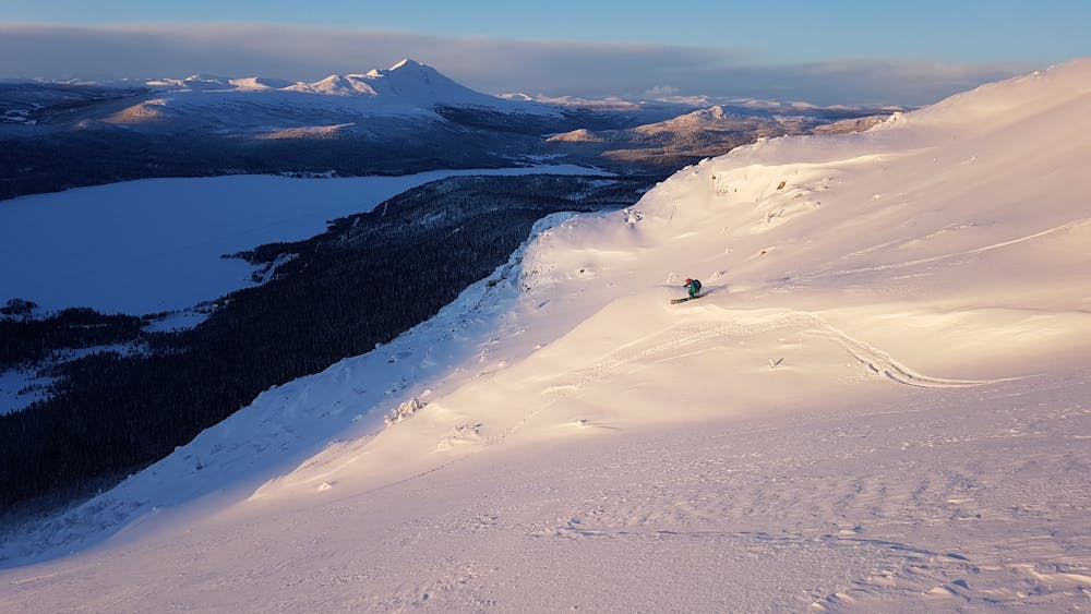
Norgesvängen
Westside facing ascent often with magic snow.
Ski Touring Moderate
- Distance
- 2.3 km
- Ascent
- 49 m
- Descent
- 407 m
- Duration
- 0-1 hrs
- Low Point
- 524 m
- High Point
- 908 m
- Gradient
- 36˚

Most people don´t use skins/snowshoes for ascending, but it´s preferable. Follow the mountainside and walk up to Flygarskalet (Beneth the Tele2 mast) Choose your own way down. You will end up at the clear-cutting. From there it might be a 10 minute double-poling depending if the snow is deep and you are first. It´s a hard walk for snowboarders without splitboard or snowshoes.
- •
- •
Difficulty
Moderate
Slopes become slightly steeper at around 25-30 degrees.
Medium Exposure (E2)

As well as the slope itself, there are some obstacles (such as rock outcrops) which could aggravate injury.
Remoteness

Little chance of being seen or helped in case of an accident.
Best time to visit
Features
- Tree Skiing