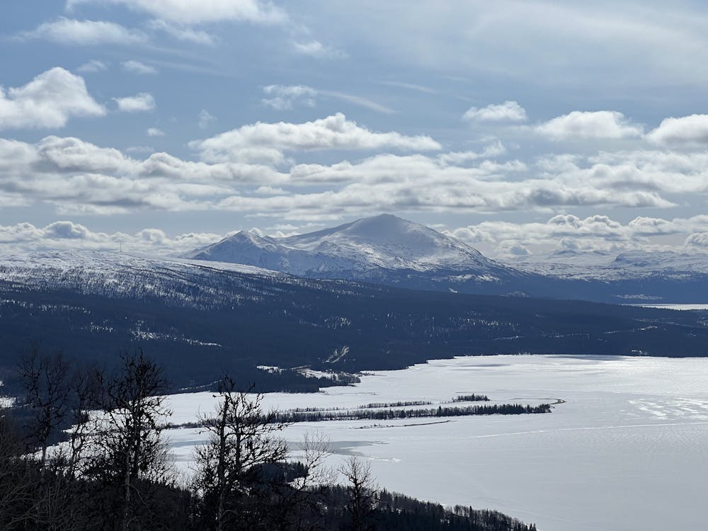
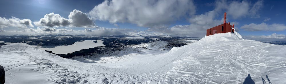
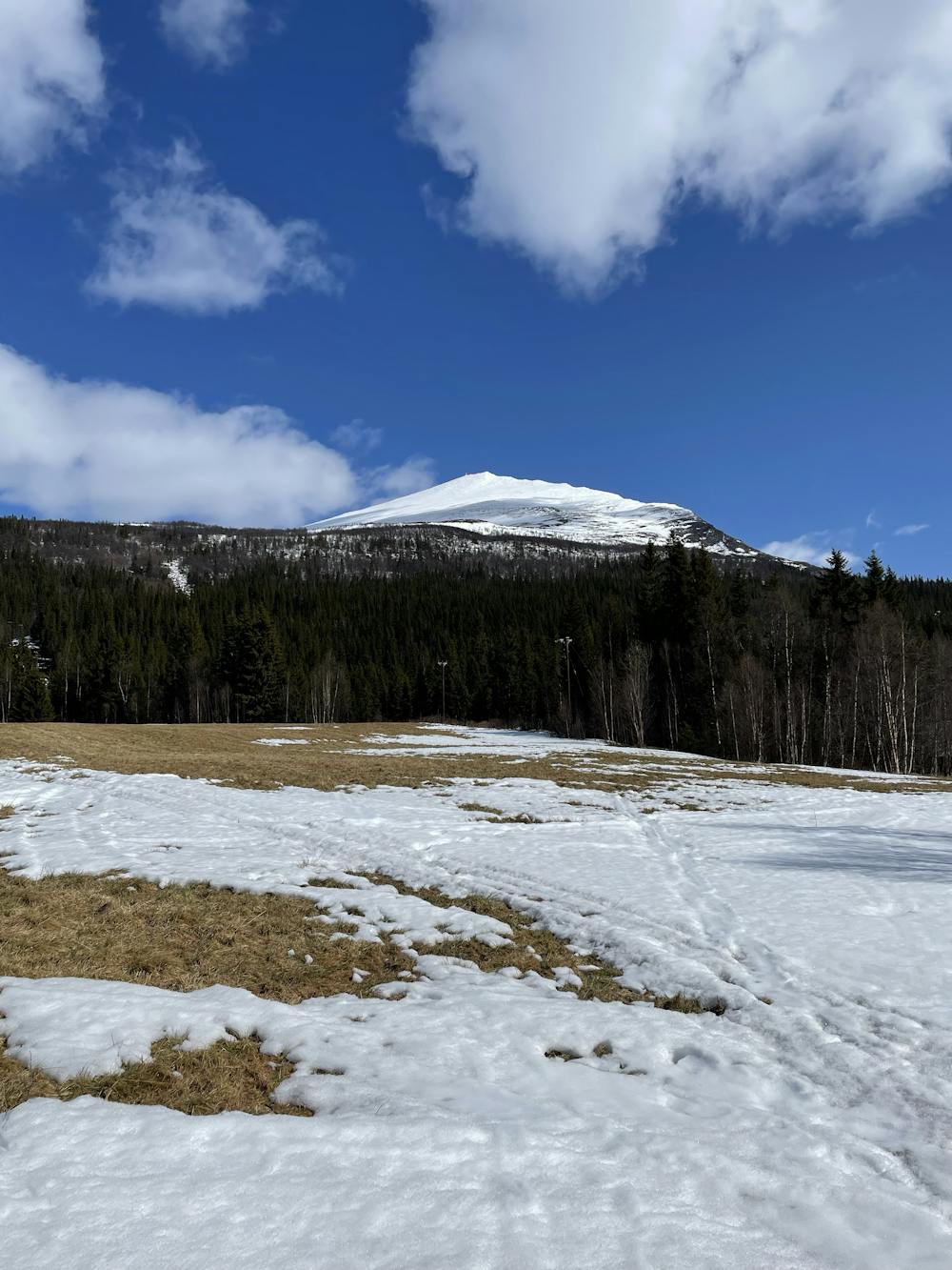
Ryfjället 1412
Beautiful peak easy accessible from E12
Ski Touring Moderate
- Distance
- 9.8 km
- Ascent
- 1 km
- Descent
- 1 km
- Duration
- 4-5 hrs
- Low Point
- 437 m
- High Point
- 1.4 km
- Gradient
- 31˚

Park at the end of the access road of E12 (before roadblock where private road starts). Public toilet (outhouse) is available just near where you park.

- •
- •
- •
- •
- •
- •
- •
- •
Description
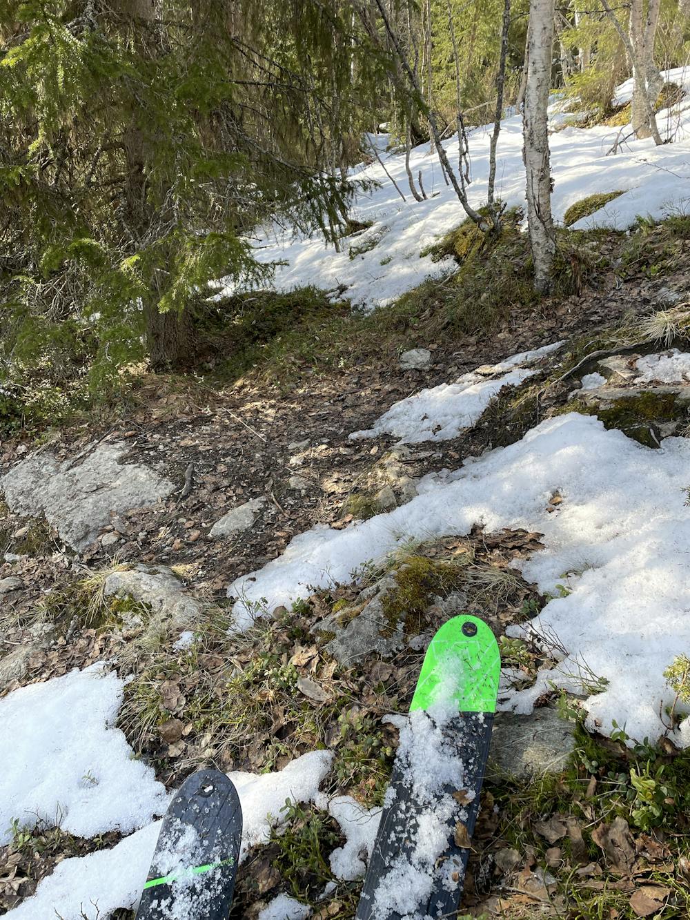
First 200 meters (elevation) is through the woods, and here you have two main options, clearing under power line to the right or footpath to the left. Either can work going up and down depending on snow cover. Typically, there is not much snow at this altitude late in the season (April, May) and then the footpath might be preferable to use if you carry your skis. The powerline might be preferable for skinning/skiing if snow cover allow as the footpath is quite tight sometimes also rather steep.
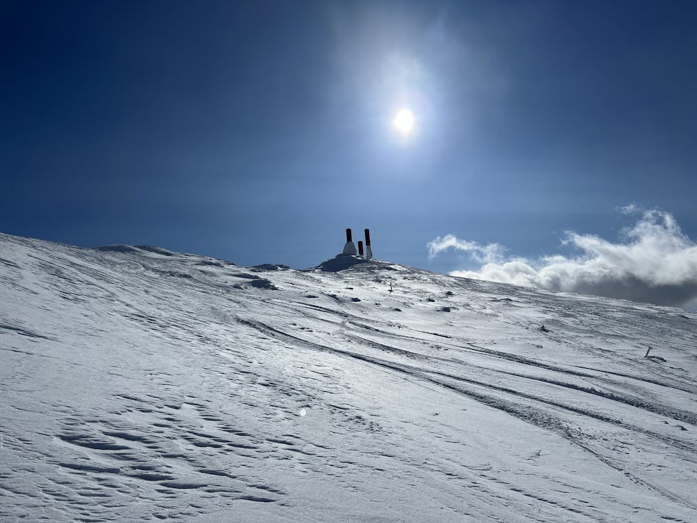
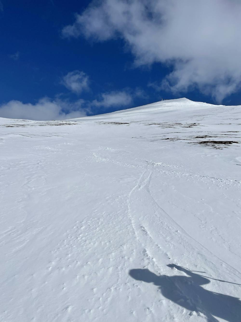
Navigation is quite simple and obvious once you clear the tree line. Take a wide right turn instead of going straight for the top to avoid the steeper sections (30-35 degrees).
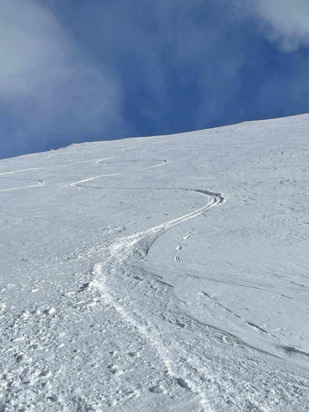
Go down same way as you came up or head SW straight towards the point where you started and enjoy a slightly steeper decent (around 30-35 degrees) if conditions allow.
Difficulty
Moderate
Slopes become slightly steeper at around 25-30 degrees.
Low Exposure (E1)

Exposure is limited to that of the slope itself. Getting hurt is still likely if the slope is steep and/or the snow is hard.
Remoteness
Close to help in case of emergency.
Best time to visit
Features
- Alpine
- Tree Skiing
- Single Descent
Equipment required
- Skins