Sadelturen bortre toppen (1231)
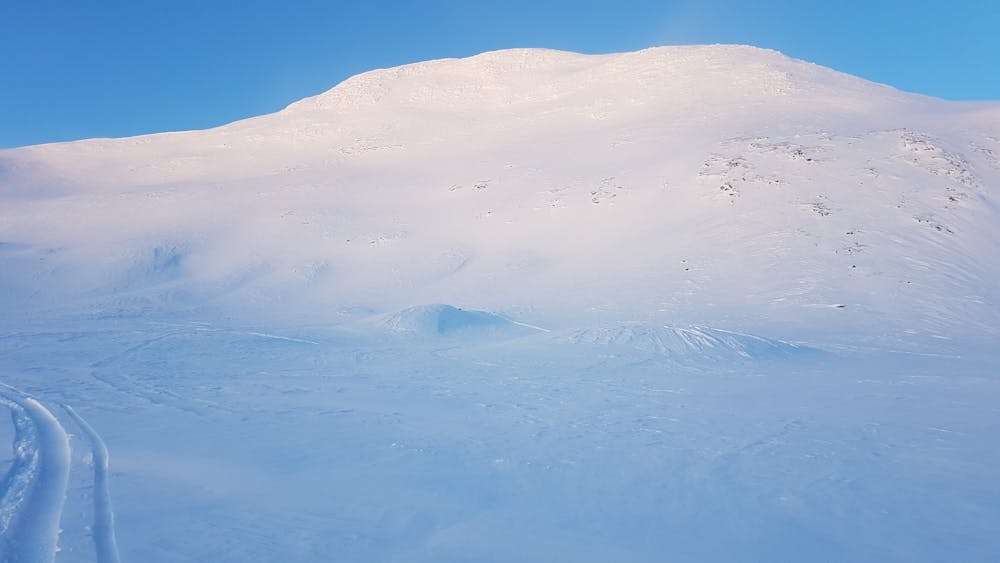
Steep run above the treeline
Ski Touring Severe
- Distance
- 1.3 km
- Ascent
- 87 m
- Descent
- 347 m
- Duration
- 0-1 hrs
- Low Point
- 858 m
- High Point
- 1.2 km
- Gradient
- 48˚

This is a popular ski touring route which is generally considered to be severe. It's remote, it features medium exposure (e2) and is typically done between February and March. From a low point of 858 m to the maximum altitude of 1.2 km, the route covers 1.3 km, 87 vertical metres of ascent and 347 vertical metres of descent. It's graded 4.1 and Labande grade 5. You'll need skins to complete it safely.
Description
Steep run above the treeline
Difficulty
Severe
Steep skiing at 38-45 degrees. This requires very good technique and the risk of falling has serious consequences.
Medium Exposure (E2)

As well as the slope itself, there are some obstacles (such as rock outcrops) which could aggravate injury.
Remoteness
Away from help but easily accessed.
Best time to visit
Features
- Face
Equipment required
- Skins