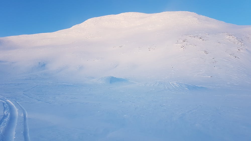
Sadelturen
Steep run above the treeline
Ski Touring Moderate
- Distance
- 2.3 km
- Ascent
- 269 m
- Descent
- 283 m
- Duration
- 1-2 hrs
- Low Point
- 855 m
- High Point
- 1.1 km
- Gradient
- 46˚

This is a popular ski touring route which is generally considered to be moderate. It's remote, it features low exposure (e1) and is typically done between December and April. From a low point of 855 m to the maximum altitude of 1.1 km, the route covers 2.3 km, 269 vertical metres of ascent and 283 vertical metres of descent. You'll need skins to complete it safely.
Description
Easy access from the top of the T-bar Jan Express. After the run you can choose to ski back to the system or continue any way you whant down to the main road.
Difficulty
Moderate
Slopes become slightly steeper at around 25-30 degrees.
Low Exposure (E1)

Exposure is limited to that of the slope itself. Getting hurt is still likely if the slope is steep and/or the snow is hard.
Remoteness

Away from help but easily accessed.
Best time to visit
Features
- Alpine
Equipment required
- Skins