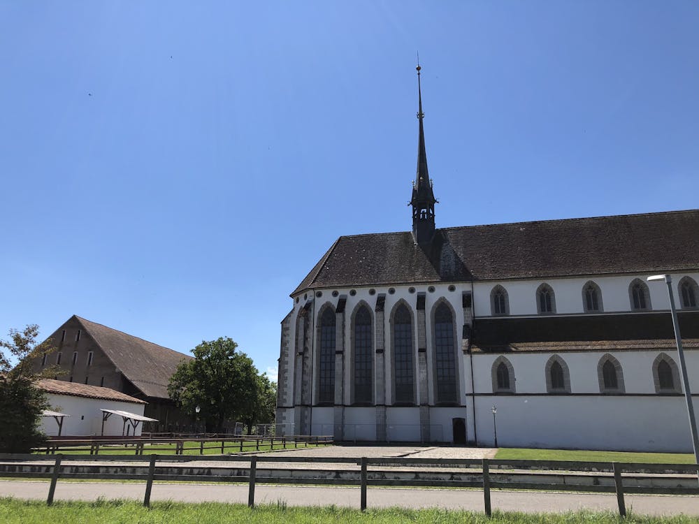
Rotberg und Geissberg Trails
2 schöne, einfache Trails im Kanton Aargau, empfehlenswert
Mountain Biking Moderate
- Distance
- 47 km
- Ascent
- 1.3 km
- Descent
- 1.3 km
- Duration
- 4-5 hrs
- Low Point
- 324 m
- High Point
- 696 m
- Gradient
- 13˚

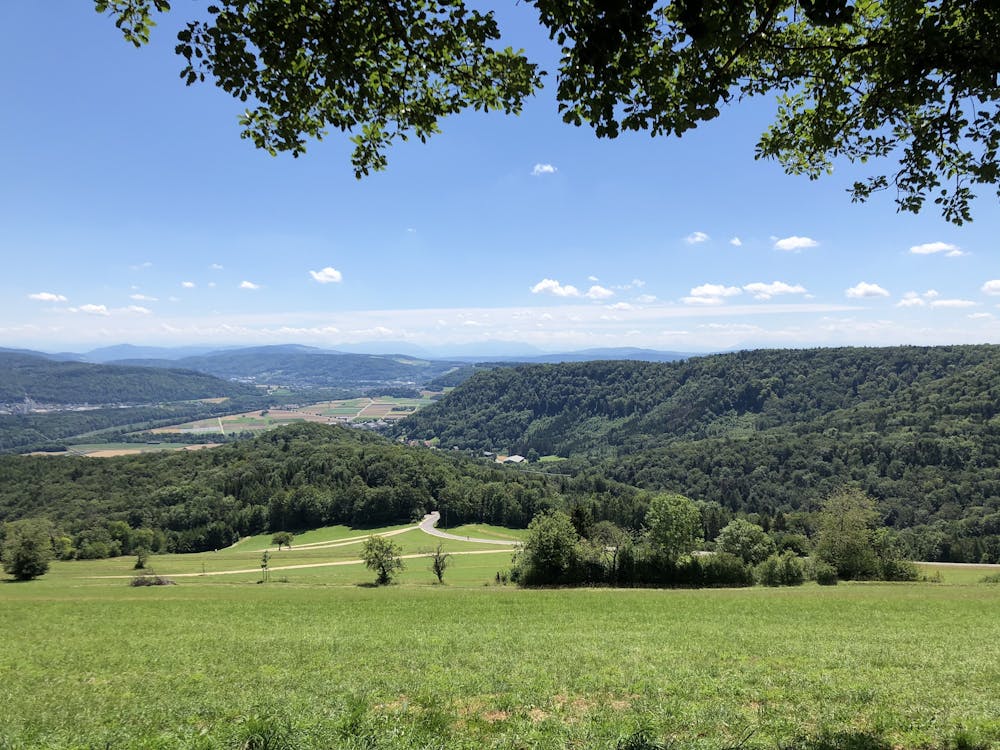
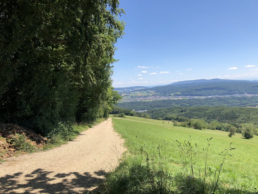
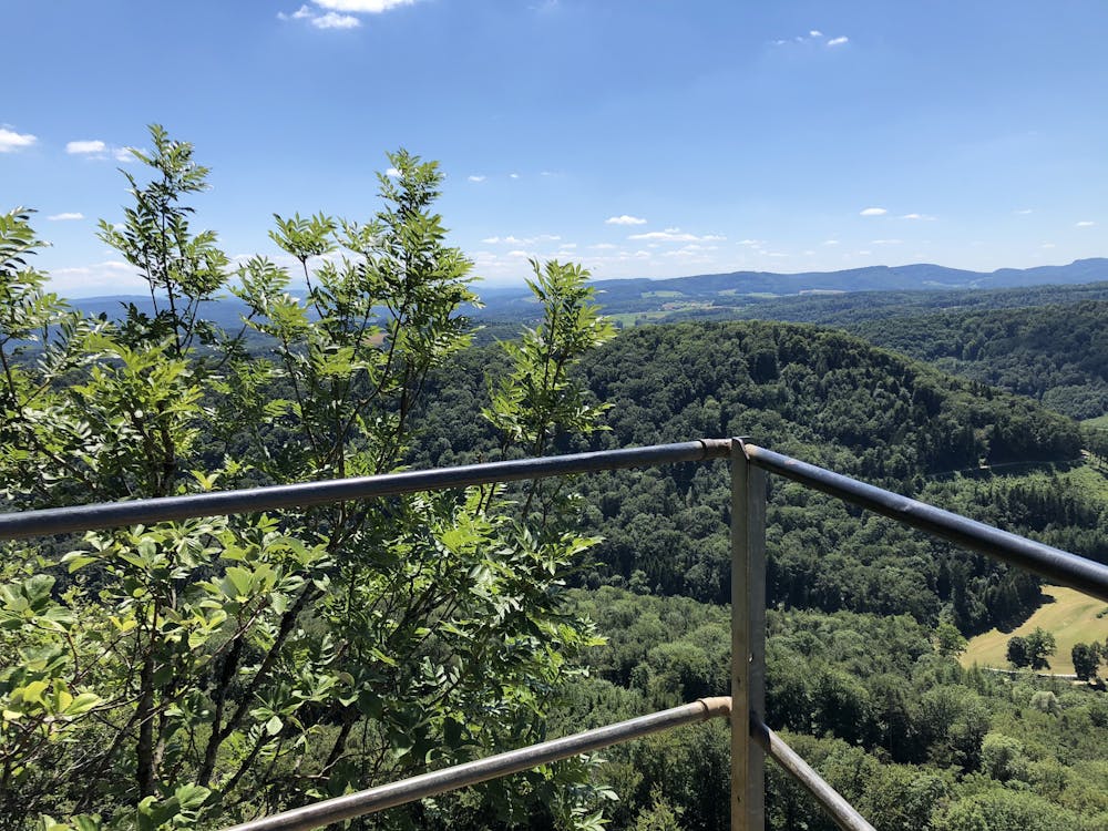
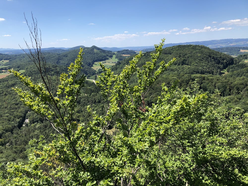
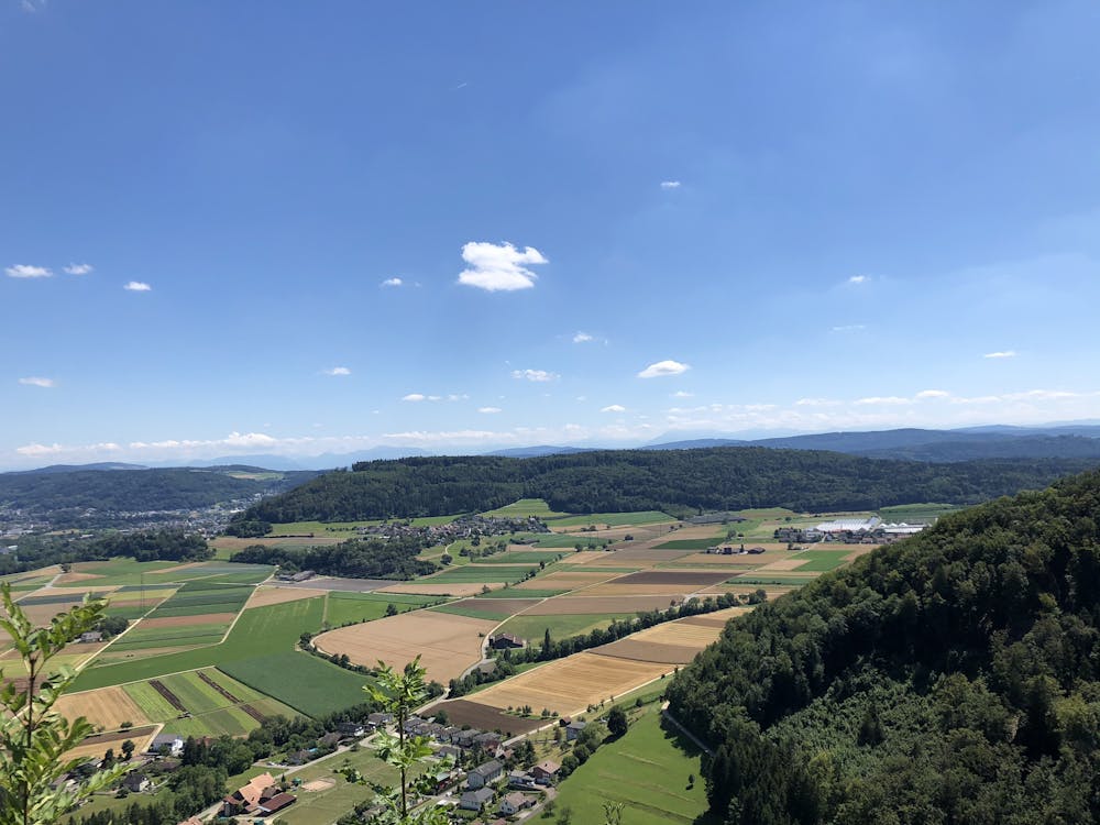
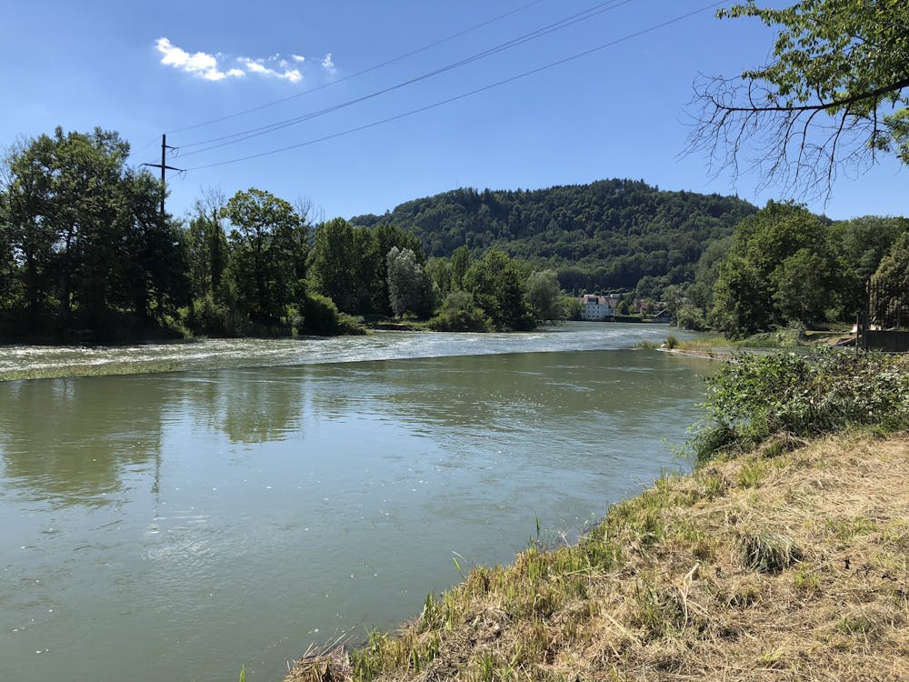
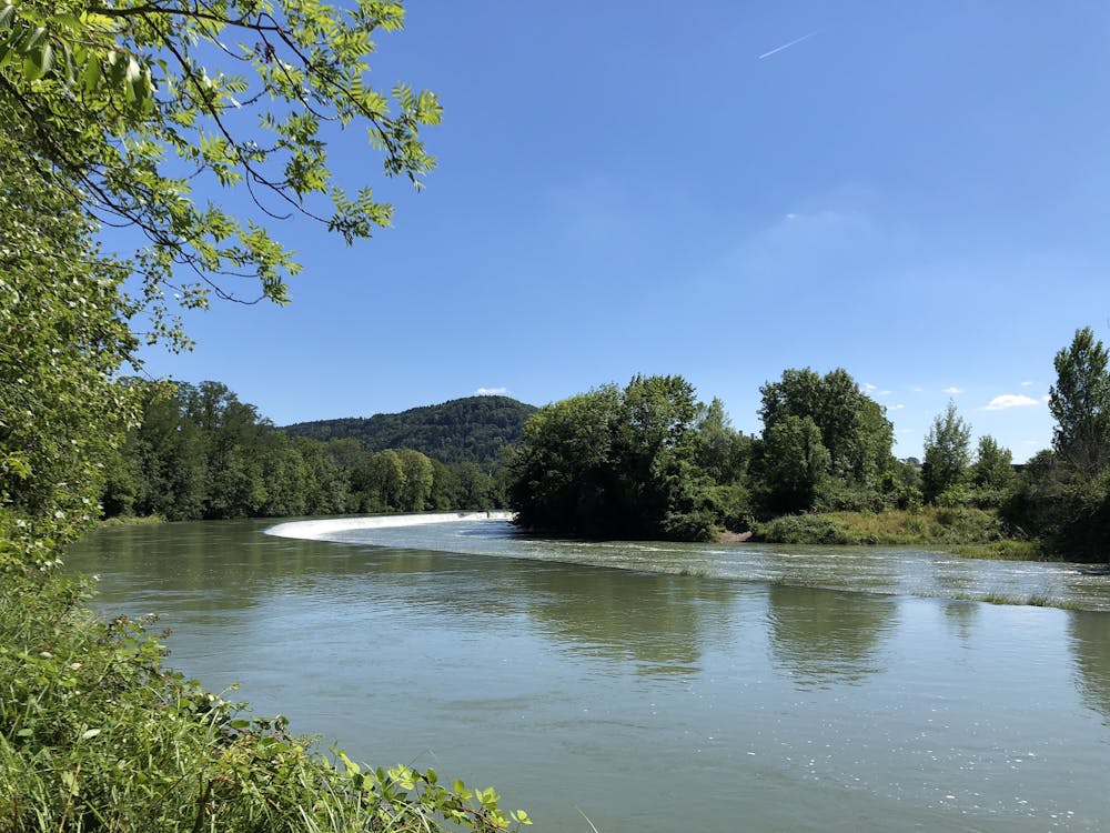
This is a popular mountain biking route which is generally considered to be moderate. It's remote, it features medium exposure and is typically done between April and October. From a low point of 324 m to the maximum altitude of 696 m, the route covers 47 km, 1279 vertical metres of ascent and 1277 vertical metres of descent.
- •
- •
- •
- •
- •
- •
- •
- •
- •
- •
- •
- •
- •
- •
- •
- •
- •
- •
- •
- •
- •
- •
- •
- •
- •
Description
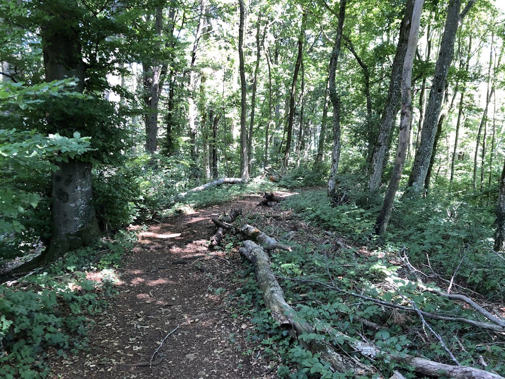
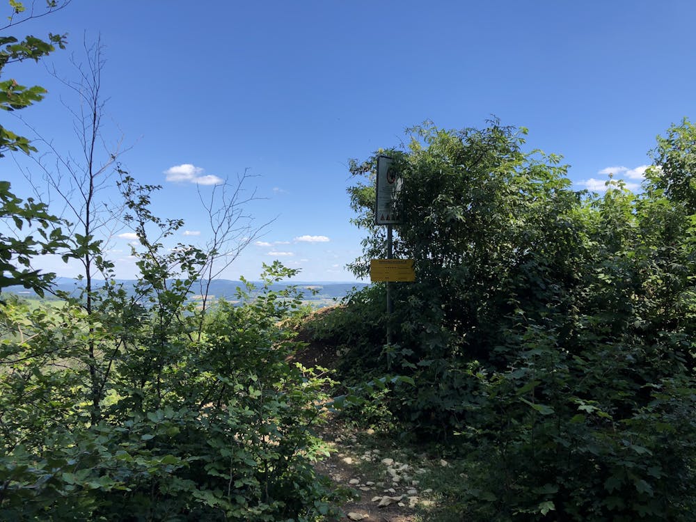
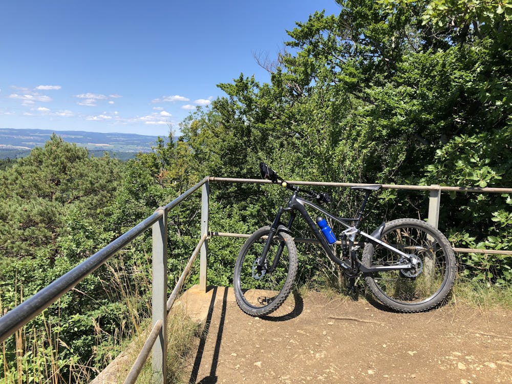
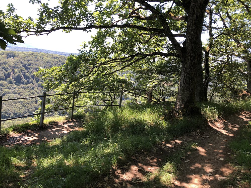
Geissberg und Rotberg sind zwei der schönsten Trails im Kanton Aargau. Die Trails sind einfach und haben aber auch einige Überraschungen (Schanzen, Sprünge) und Varianten.
Difficulty
Moderate
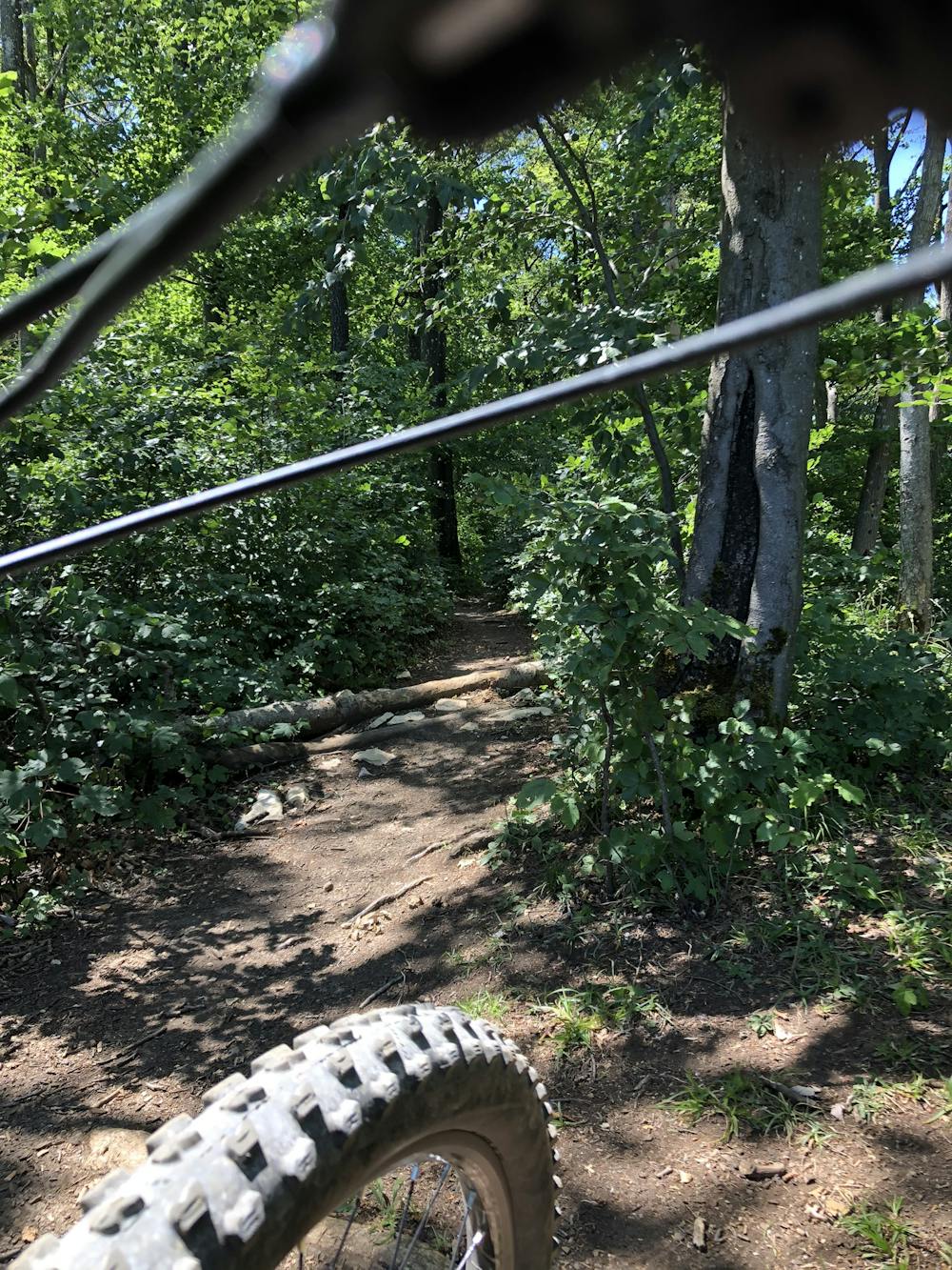
Mostly stable trail tread with some variability, with unavoidable obstacles 8in/20cm tall or less. Other obstacles such as rock gullies and steep sections may exist. Ideal for lower intermediate riders.
Medium Exposure

The trail contains some obstacles such as outcroppings and rock which could cause injury.
Remoteness
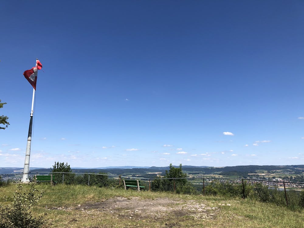
Away from help but easily accessed.
Best time to visit
Features
- Flow
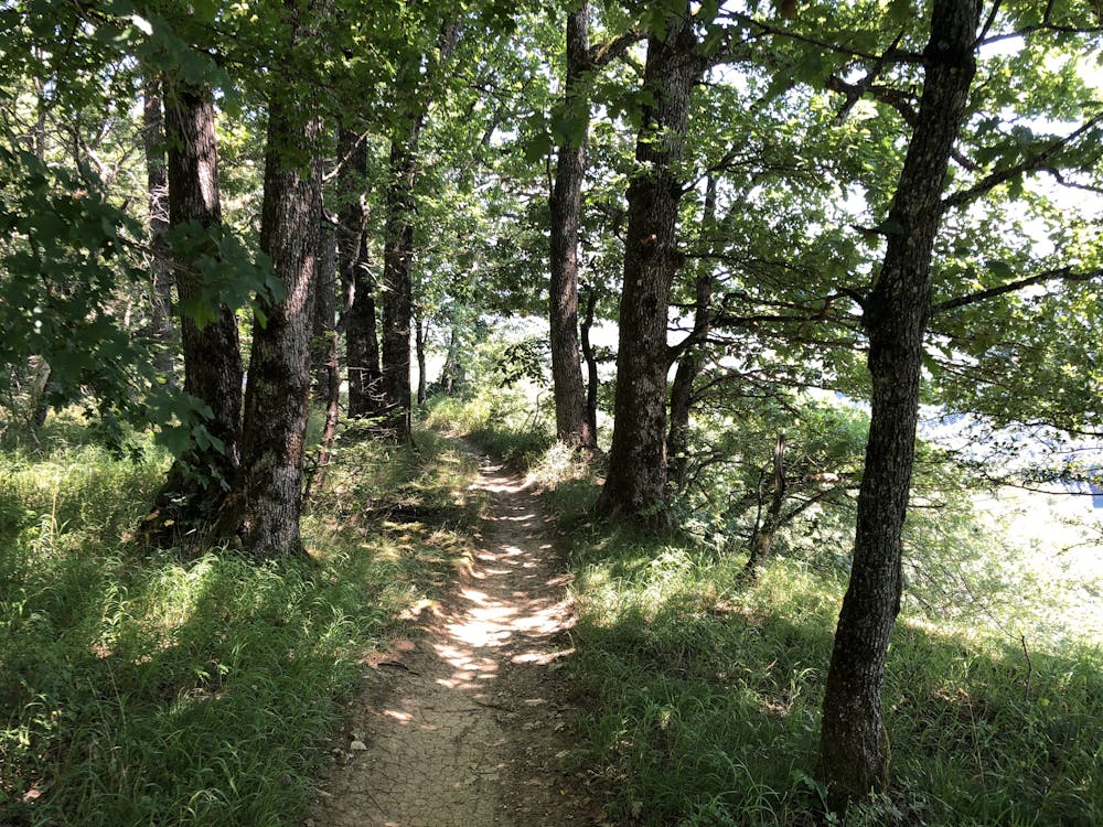
- Singletrack
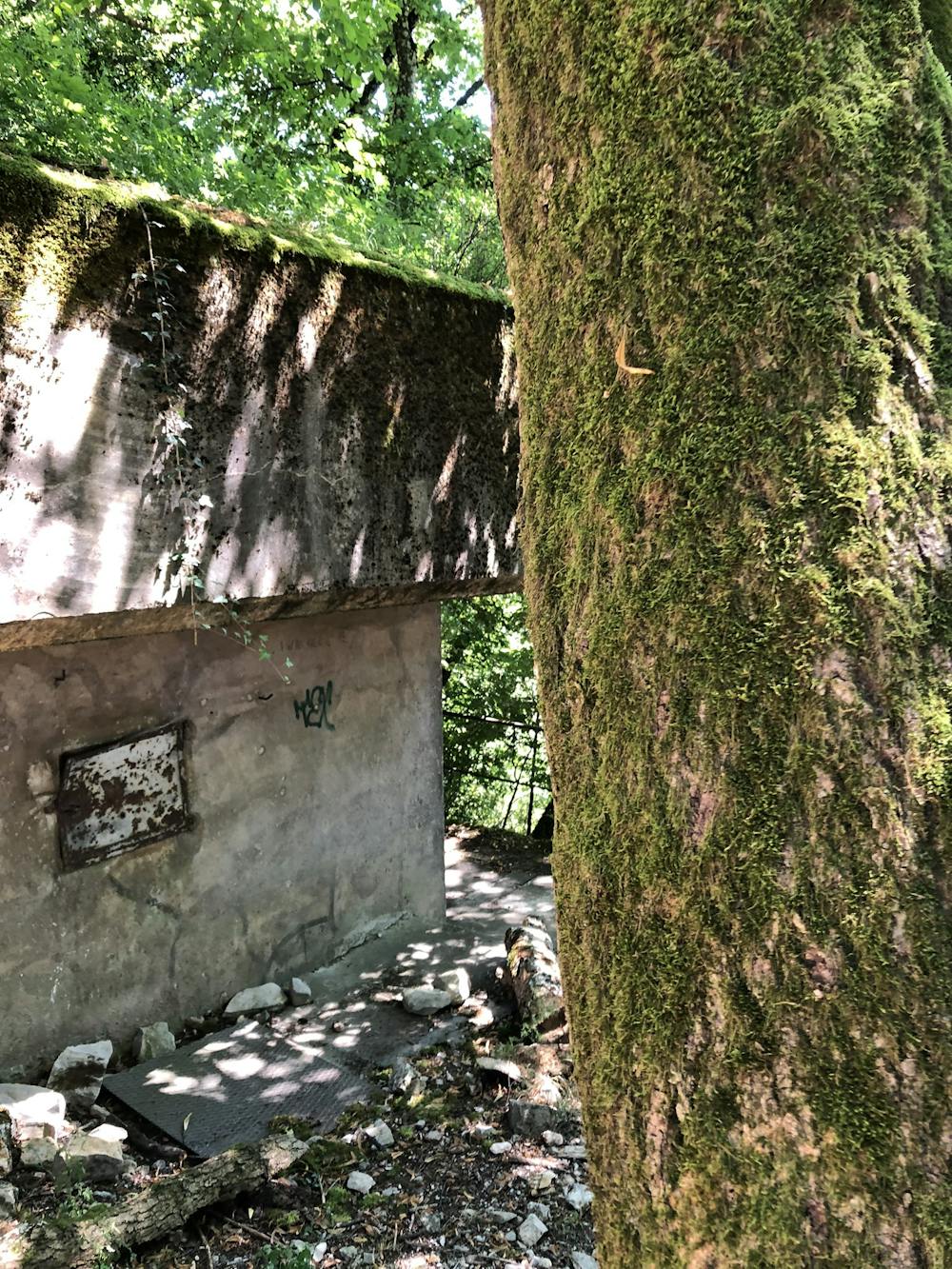
- In the forest
- Jumps
- Roots