4 routes · Trail Running
Paradise awaits for mountain-lovers in Eastern Switzerland.
Trail Running Difficult

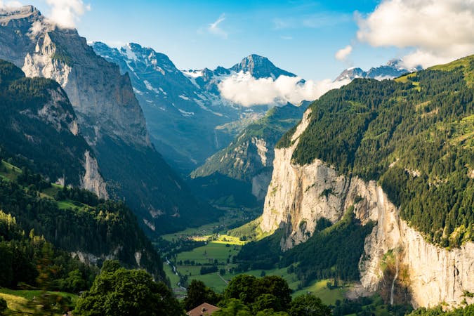
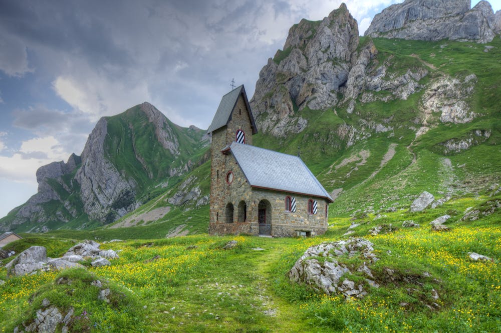
The pre-alpine landscape of green rolling pastures pierced by jagged sloping peaks lingered on my mind as I would pass by on my travels from home in Austria towards the massive Massifs of Valais and the Bernese Oberland. If I knew what magic lay beyond these towering limestone cliffs, I would have stopped much sooner to explore yet another beautiful slice of Switzerland.
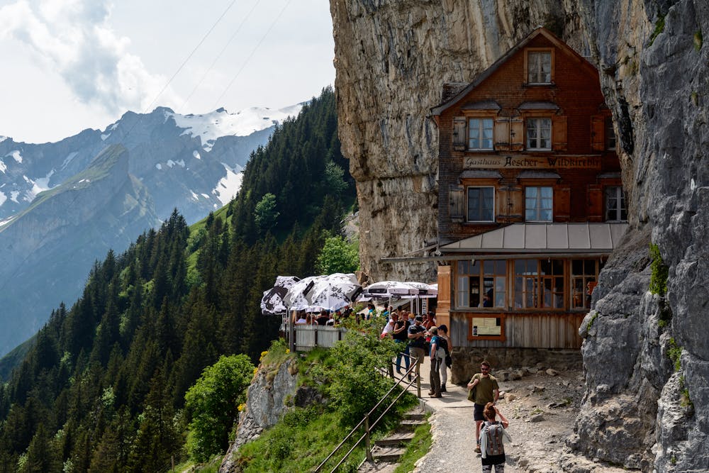
The historical canton of Appenzell boasts much more than it’s yodeling, home of the delectable Biberli (gingerbread cakes that make for an ideal endurance food) and that insta-famous Aescher-Wildkirchli. The 18th-century mountain guesthouse, built precariously into the rock face, is only a short hike through the Wildkirch caves from Ebenalp’s mountain station.
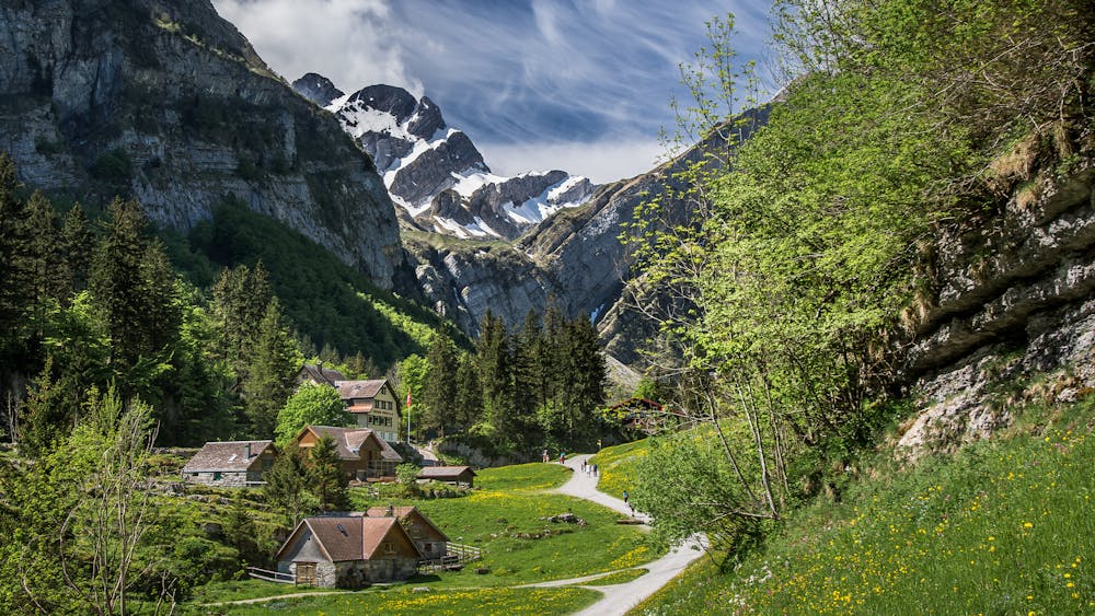
The entire region is a variable delight for the mountain-lover, brimming with trails, crags, and spectacular hike and fly summits. This 17km route is just a taste-tester of a dense network of trails waiting for you to leave your footprints and a little piece of your heart.
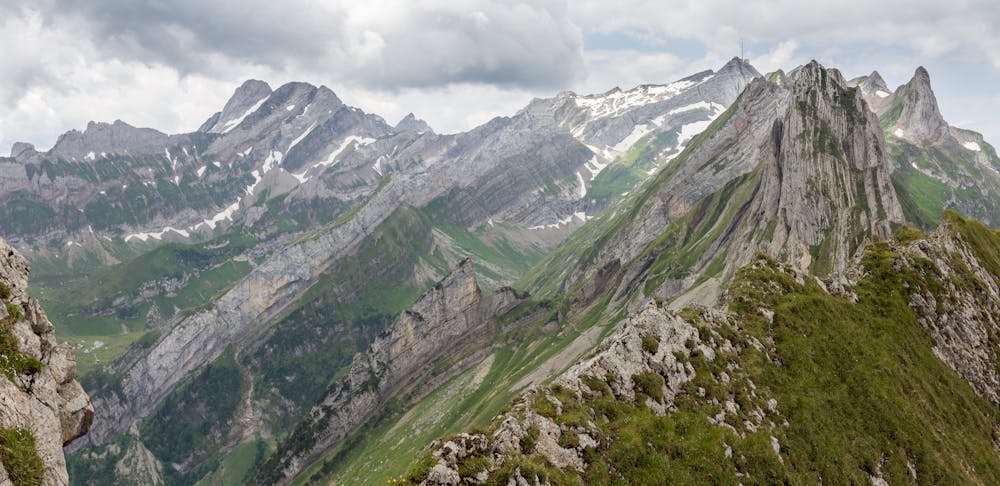
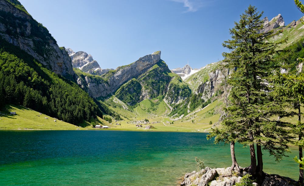
From Zurich’s Hauptbahnhof, reach Wasserauen by train in just over two hours—enough time to decide whether you’ll ascend via the strenuous climb to the top of the Ebenalp station or take the gondola. Enjoy panoramic views and nature’s geological creativity as the trail flows below the lofty rock formations. Sweep down through forested trails to Seealpsee and take in the beauty of Säntis – Appenzell’s highest peak at 2500m—before cruising around the lake and back to Wasserauen via the narrow valley.
Appenzell is a more-than-once kind of region for lovers of the outdoors. What she lacks in mega-mountains is made up for with her stunning scenery and is definitely not one to pass by.
Nearest Station: Wasserauen Travel time from Zurich HB: approx. 2hr https://www.sbb.ch/en/station-services/at-the-station/railway-stations/further-stations/station.6289.wasserauen.html
Difficult

Some trail sections have exposed ledges or steep ascents/descents where falling could cause serious injury.

Away from help but easily accessed.
4 routes · Trail Running