Brienz to Hardergrat
A beautiful hike to an epic ridge high above Brienz.
Also in Lucerne, Switzerland
Hiking Difficult
- Distance
- 8.5 km
- Ascent
- 1.5 km
- Descent
- 5 m
- Duration
- 4-5 hrs
- Low Point
- 565 m
- High Point
- 2 km
- Gradient
- 16˚

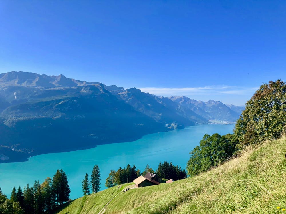
Close to the famous Brienzer Rothorn there is a less crowded path starting directly from the train station in Brienz and leading up to a part of the spectacular Hardergrat between Tannhorn and Brienzer Rothorn. This hike offers a stunning view of the crystal-blue Brienzersee from the very beginning of the hike.


- •
- •
- •
Description
Half way up, there is a small, cozy restaurant in Berghaus Planalp (1341 m.a.s.l) located right next to the hiking trail, making this trip ideal for those who don't want to haul a lot of gear! It's a perfect place for a lunch break, while looking out over the stunning mountains in Bernese Oberland on the other side of the iconic Brienzersee.
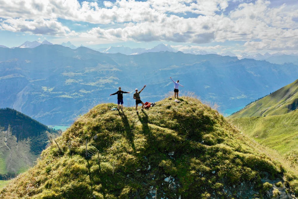
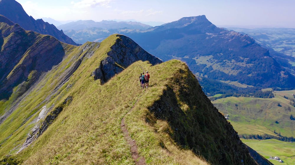
Once you reach the top, the path gives you three options: simply follow the same route back, continue east to the Brienzer Rothorn, or follow the ridge westward to Tannhorn. No matter what you choose, this hike will give you an amazing adventure with probably one of the world’s most spectacular views.
The hike itself is not technical at all, but a certain level of fitness is required due to all the elevation gain. However, there is a railway going between Brienz, Planalp, and Rothorn, so it would be possible to use this as a part of the hike if desired. It should also be mentioned that the ridge to both Rothorn and Tannalp is quite narrow, so it is important to walk carefully and consider weather like rain, fog, and wind before setting off.
Difficulty
Difficult
Hiking trails where obstacles such as rocks or roots are prevalent. Some obstacles can require care to step over or around. At times, the trail can be worn and eroded. The grade of the trail is generally quite steep, and can often lead to strenuous hiking.
Features
- Summit Hike
- Wild flowers

