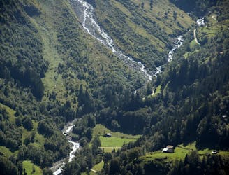
69 routes · Ski Touring · Alpine Climbing · Hiking · Mountain Biking
Go hiking in Bern with curated guides of the best hikes across the region. With over 100 3D trail maps in FATMAP, you can easily discover and navigate the best trails in Bern.
No matter what your next adventure has in store, you can find a guide on FATMAP to help you plan your next epic trip.
Get a top hiking trail recommendation in Bern from one of our 15 guidebooks, or get inspired by the 100 local adventures uploaded by the FATMAP community. Start exploring now!
69 routes · Ski Touring · Alpine Climbing · Hiking · Mountain Biking
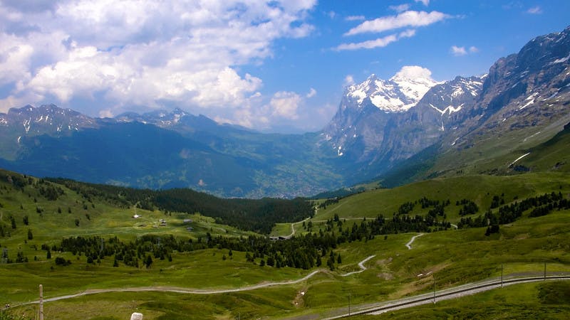
55 routes · Hiking · Freeride Skiing · Ski Touring · Alpine Climbing · Mountain Biking
13 routes · Hiking
7 routes
4 routes
3 routes
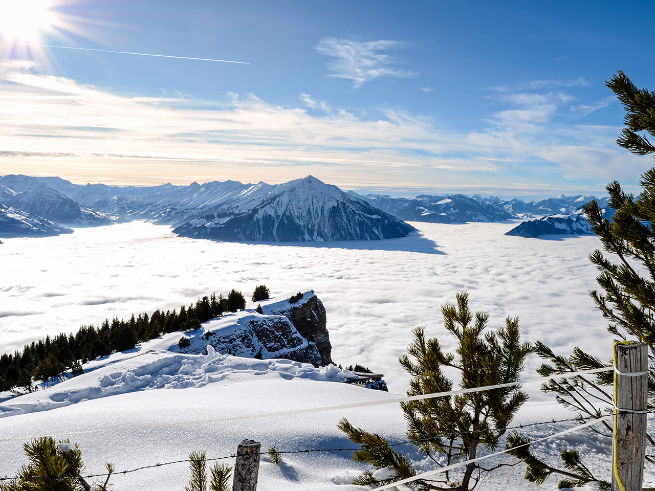
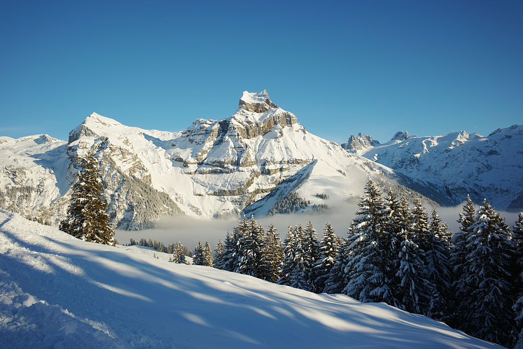
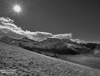
A contender for the most scenic hike in Switzerland!
Difficult Hiking
A beautiful hut approach from the valley floor, one of the few nearby mountain huts where people do not take a ski lift first.
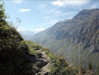
Difficult Hiking
A long but very beautiful approach to a remote hut
Difficult Hiking
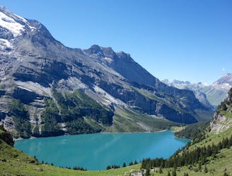
The second part of a wonderful traverse through the Western Bernese Alps.
Difficult Hiking
The final stage of the Via Alpina Green Route!
Moderate Hiking
Tough uphill climbs, zigzagging descents, and of course, magical views!
Difficult Hiking
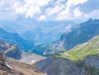
This stage features a climb up to the Hohtürli Pass, the highest point on the Via Alpina trail through Switzerland.
Difficult Hiking
Pass through the exclusive ski and spa town of Mürren on this 20km stretch of the Via Alpina.
Difficult Hiking

15 routes · Hiking
3 routes · Hiking

11 routes · Alpine Climbing · Hiking
8 routes · Alpine Climbing · Hiking
10 routes · Alpine Climbing · Hiking

10 routes · Alpine Climbing · Hiking
9 routes · Alpine Climbing · Hiking