3.5 km away
Approach to Schreckhorn Hut
A long but very beautiful approach to a remote hut
Difficult Hiking
- Distance
- 7.7 km
- Ascent
- 1.3 km
- Descent
- 133 m
A beautiful hut approach from the valley floor, one of the few nearby mountain huts where people do not take a ski lift first.
Hiking Difficult

The Gleckstein Hut approach is particularly beautiful and, being at a modest altitude should be possible for people of most ages to manage. There are slightly exposed sections, where metal cables can be used as handrails. But overall the path is good and the effort required is greatly outweighed by the stunning ambiance as you walk uphill.
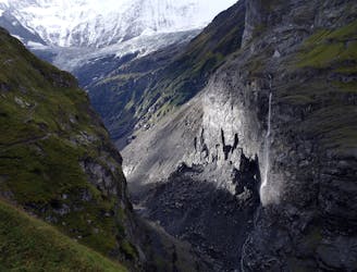
The easiest way to start the approach is to get the bus to the Gleckstein stop on the way up to Grosse Scheidegg, at about 1400m. From here the well signposted path takes a rising traverse up and R to pass under a spur that comes down from the Chrinnenhorn. You round this spur at about 1750m, following which the path gradually loses about 100m. It descends towards but above the impressive gorge which is the outflow for the Oberer Grindelwald Glacier. The path rises again as it crosses the Wyssbach stream, then heads up more steeply in a series of zig zags, as it slowly doubles back on itself to the hut.
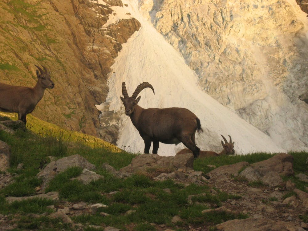
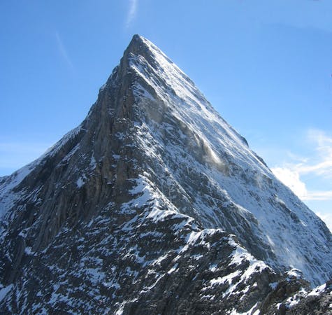
The hut is ideally situated on a spur, with gorgeous views, particularly at sunset. There is typical SAC dormitory accommodation, with showers for a small extra cost. The local ibex are very tame and are frequently seen at the hut. There are some small ponds outside too to dip your toes into. The view of the Klein Schreckhorn behind the hut is stunning in the evening light, with its glacier below.
Difficult
Hiking trails where obstacles such as rocks or roots are prevalent. Some obstacles can require care to step over or around. At times, the trail can be worn and eroded. The grade of the trail is generally quite steep, and can often lead to strenuous hiking.

The trail contains some obstacles such as outcroppings and rock which could cause injury.
Away from help but easily accessed.
3.5 km away
A long but very beautiful approach to a remote hut
Difficult Hiking
4.4 km away
The highlight of this 21km section is the climb up the Kleine Scheidegg where you get glorious views over the Eiger, Mönch and Jungfrau.
Difficult Hiking

15 routes · Hiking
3 routes · Hiking
8 routes · Alpine Climbing · Hiking

10 routes · Alpine Climbing · Hiking