FATMAP by Strava

Approach to Schreckhorn Hut

Bernese Oberland

A long but very beautiful approach to a remote hut

Hiking Difficult

Distance
7.7 km
Ascent
1.3 km
Descent
133 m
Duration
3-4 hrs
Low Point
1.4 km
High Point
2.5 km
Gradient
19˚
Approach to Schreckhorn Hut Map

Far away from the madding crowds the Shreckhorn Hut, deep in the true remote wilderness of the Oberland, is a serene place to spend the night. It is a substantial walk to get there but justified by the beauty and the isolation. It is approached from Grindelwald, initially by using the lift to Pingsteg at 1391m. If you want the purist approach, avoiding the lift, you can add an extra hour by starting from the Lütschine Bridge at 986m.

Description

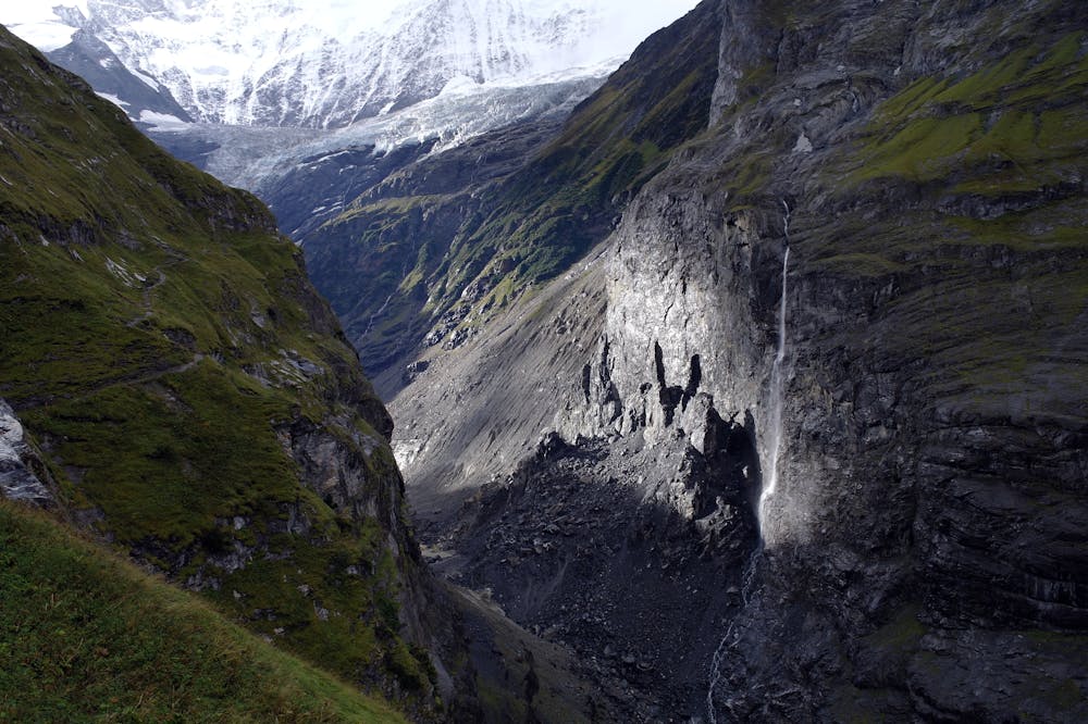
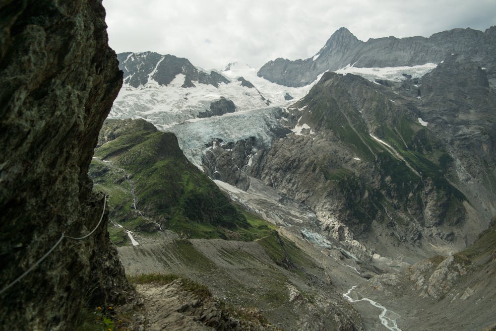
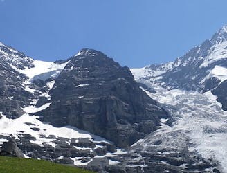
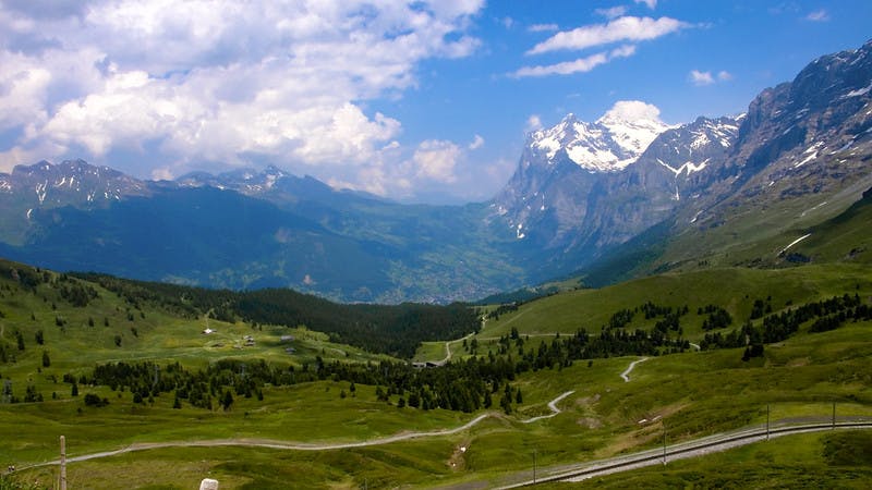
It is a lovely walk, on a small path, clinging high above the gorge draining the Unter Grindelwald glacier, giving a grand sense of scale to the huge mountains all around you. The path leads past a private hut at Baregg at 1775m, which is a scenic spot for a break. Admire the great N wall of the Fiescherwand. These summits are relatively easy from the S, but from here they appear daunting.

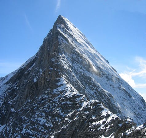
The path continues traversing around the Banisegg spur at 1808m, then round the spur and then upwards and onwards to the Rots Gufer, 1990m. Here there are series of wires to protect the crossing of the path over several large cascading streams. The ascent continues, passing near to an icefall, over further streams, beneath a buttress to the hut. On this section of the walk you get tantalising glimpses across the E Face of the Finsteraarhorn, far in the distance to the S. The hut is positioned on a spur beneath the Schreckhorn at 2529m. It is still a long way beneath the summit of the mountain it is named after.

Difficulty

Difficult

Hiking trails where obstacles such as rocks or roots are prevalent. Some obstacles can require care to step over or around. At times, the trail can be worn and eroded. The grade of the trail is generally quite steep, and can often lead to strenuous hiking.

Medium Exposure

2 out of 4

The trail contains some obstacles such as outcroppings and rock which could cause injury.

Remoteness

3 out of 4

Little chance of being seen or helped in case of an accident.

Best time to visit

between June and August

Features

  • Alpine
  • Picturesque
  • Wild flowers
  • Water features

Similar routes nearby

Guidebooks in this area