8.6 km away
Via Alpina Green Route C13: Kandersteg to Adelboden
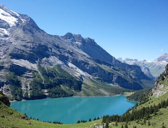
Tough uphill climbs, zigzagging descents, and of course, magical views!
Difficult Hiking
- Distance
- 17 km
- Ascent
- 1.4 km
- Descent
- 1.2 km
The final stage of the Via Alpina Green Route!
Hiking Moderate

Leave Adelboden and enter the valley, following the Allebach stream and then the Gilsbach stream. Jump onto the road, which leads uphill to the Gilbach terrace. Leaving the cluster of holiday cottages behind you, follow the trail into the woodland, then across meadows. Climb uphill until reaching the road again just before Geilsbüel. Head over the Geilsmäder mountain meadowland, climbing up to the Hahnenmoos pass. From here descend to Büelberg, along the old mule track, making sure to stop and take in the views down the valley as you go. Follow along the mountain trail and eventually onto the Büelbergstrasse road, which leads directly into your final destination- the sweet little village of Lenk!
Moderate
Hiking along trails with some uneven terrain and small hills. Small rocks and roots may be present.
8.6 km away
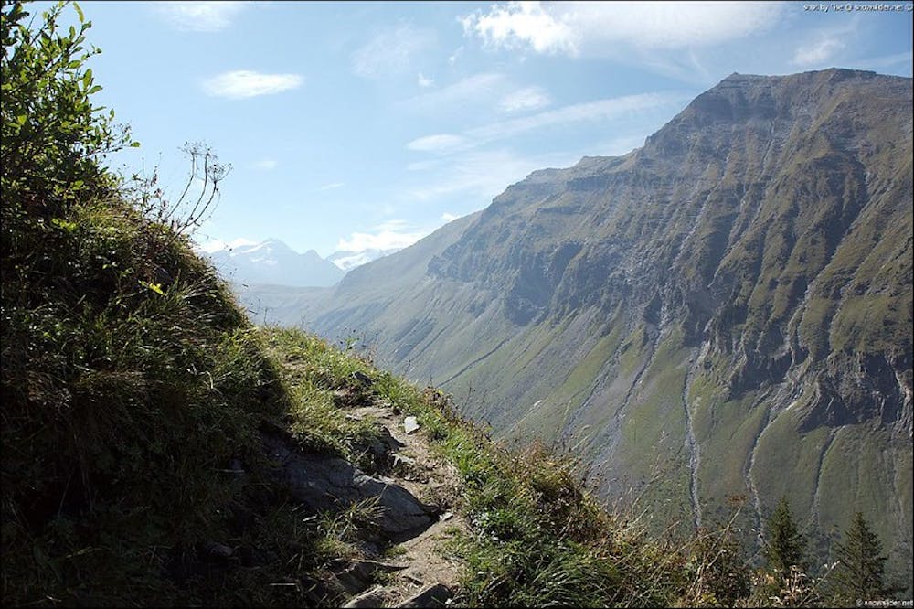
Tough uphill climbs, zigzagging descents, and of course, magical views!
Difficult Hiking

15 routes · Hiking