6 km away
Daube and Oberberghorn
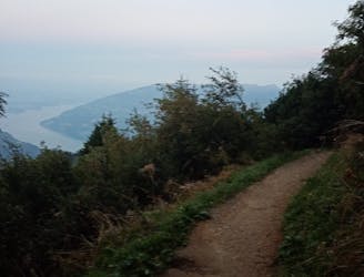
A contender for the most scenic hike in Switzerland!
Difficult Hiking
- Distance
- 3.7 km
- Ascent
- 222 m
- Descent
- 223 m
Pass through the exclusive ski and spa town of Mürren on this 20km stretch of the Via Alpina.
Hiking Difficult

From Lauterbrunnen head into the valley for 350m, before climbing steeply up through woodland and across several streams and past a couple of waterfalls, continuing along the side of the Lauterbunnental valley to reach the Grütschalp-Mürren railway tracks. Follow the tracks to the car-free and very exclusive ski and spa town of Mürren. Take in the magnificent views, pretty lake, and elegant architecture, before leaving the town, climbing up through meadows and woodlands to Gimmela, from where a beautiful view opens out of the upper Lauterbrunnental valley basin.
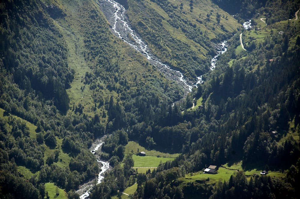
Next, continue up to the Spielboden Alp. From here, a mountain trail which is very exposed in places leads around numerous hairpin bends over the flower-strewn rocky ridge to Bryndli, situated 200m higher up. This is a fantastic spot to take a break and enjoy the views. Once you’re ready to continue, carry along the path, which stabilises at an even altitude and runs through mountain pastures before heading along the side of the Hunshorn initially on a moderate incline and later steeply up over a detritus cone to the Sefinenfurgge pass. Follow the trail across the stream and walk on a wide, grassy cupola towards the valley. Pass the Dürreberg peak and head down to Griesalp, the final destination of this stage.
Sources http://www.via-alpina.org/en/stage/112 https://www.erlebnisregion-mythen.ch/de/erlebnisse/sommer/weg-der-schweiz/
Difficult
Hiking trails where obstacles such as rocks or roots are prevalent. Some obstacles can require care to step over or around. At times, the trail can be worn and eroded. The grade of the trail is generally quite steep, and can often lead to strenuous hiking.

The trail contains some obstacles such as outcroppings and rock which could cause injury.
Away from help but easily accessed.
6 km away
A contender for the most scenic hike in Switzerland!
Difficult Hiking

15 routes · Hiking