548 m away
Swiss Transalp: Grindelwald to Leissigen
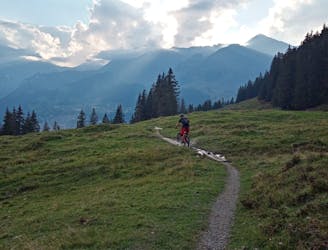
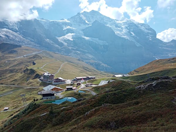
Day 3 of the exhilarating MTB Transalp from Lucerne to Aosta
Severe Mountain Biking
- Distance
- 42 km
- Ascent
- 1.4 km
- Descent
- 1.8 km
Long climb to Gr Scheidegg followed by a travers to First & Bachalpseee to First
Mountain Biking Difficult

This is a popular mountain biking route which is generally considered to be difficult. It's not remote, it features medium exposure and is typically done between May and October. From a low point of 1 km to the maximum altitude of 2.3 km, the route covers 36 km, 1491 vertical metres of ascent and 1491 vertical metres of descent.
Long ascent along the road, shared trail to First and Bachalpsee, technical decline to Grindelwald
Difficult
Mostly stable trail tread with some variability featuring larger and more unavoidable obstacles that may include, but not be limited to: bigger stones, roots, steps, and narrow curves. Compared to lower intermediate, technical difficulty is more advanced and grades of slopes are steeper. Ideal for upper intermediate riders.

The trail contains some obstacles such as outcroppings and rock which could cause injury.

Close to help in case of emergency.
548 m away
Day 3 of the exhilarating MTB Transalp from Lucerne to Aosta
Severe Mountain Biking
1.4 km away
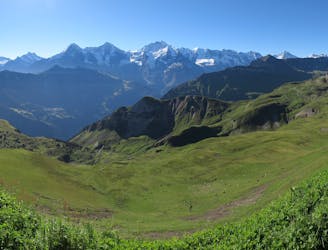
An epic journey beneath some of the most famous mountains in the Alps.
Difficult Mountain Biking
4.1 km away
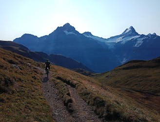
Superb and varied riding opposite some huge mountains.
Difficult Mountain Biking
8 routes · Mountain Biking
4 routes · Mountain Biking