8 routes · Mountain Biking
Day 2 of the exhilarating MTB transalp from Lucerne to Aosta
Mountain Biking Difficult

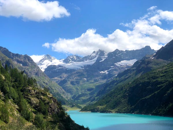
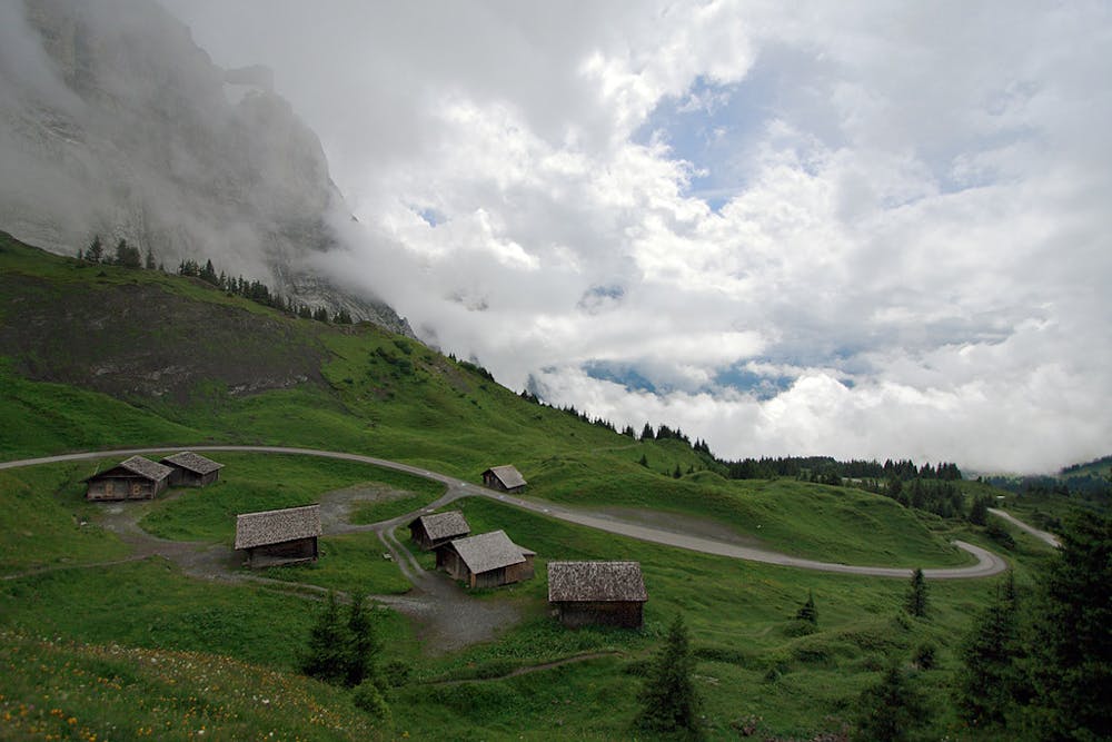
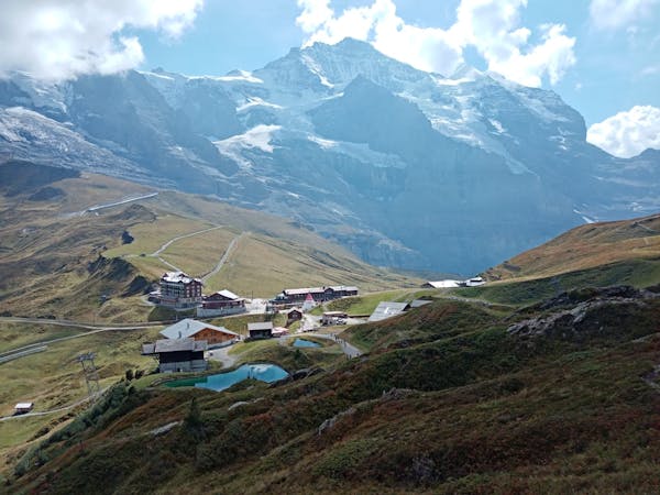
Brace yourself for a day of big climbs and thrilling descents! Climb up out of Interkirchen in a northwesterly direction to Reuti. From Reuti, descend via a steep path full of hairpin bends down to Meiringen. Now you'll begin the most exciting part of the day’s ride: crossing the Große Scheidegg Pass. The pass’s elevation is 1962m, crossing the col between the Bernese Alps’ Schwarzhorn and Wetterhorn mountains. The scenery is exceptionally beautiful, making it one of the most popular mountain passes in Central Switzerland. Descend along winding smooth tarmac, taking in the surrounding sheer rock face, and vibrant alpine meadows, until you come close to Grindelwald, where you end the day with a technical challenge as you have to switch onto hiking trails. Sources https://www.mtb-news.de/forum/t/ta-vierwaldstaettersee-lac-leman.688902/ https://www.outdooractive.com/de/route/mountainbike-transalp/grosser-sankt-bernhard/ta-vierwaldstaettersee-aosta/24504149/
Difficult
Mostly stable trail tread with some variability featuring larger and more unavoidable obstacles that may include, but not be limited to: bigger stones, roots, steps, and narrow curves. Compared to lower intermediate, technical difficulty is more advanced and grades of slopes are steeper. Ideal for upper intermediate riders.

The trail contains some obstacles such as outcroppings and rock which could cause injury.
Away from help but easily accessed.
8 routes · Mountain Biking
4 routes · Mountain Biking