8 routes · Mountain Biking
Day 1 of the exhilarating MTB Transalp from Lucerne to Aosta.
Also in Lucerne, Switzerland • Nidwalden, Switzerland • Obwalden, Switzerland
Mountain Biking Difficult

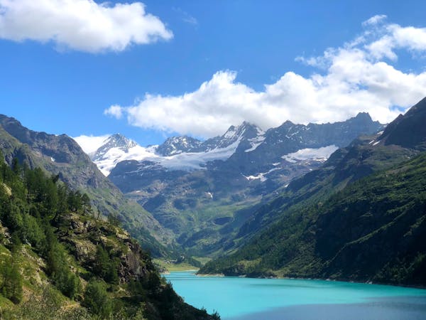
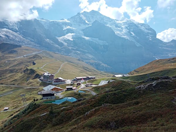
Beginning in the picturesque and historic town of Lucerne, head south from the River Reuss to Bireggwald. Cut across the forest and continue on to Horw, taking the Seestraße all the way around the lakeside until Stansstad, where you turn right and head in the direction of Betti. You will then cross a series of colourful alpine meadows and sections of forest until you enter a valley, passing the towns of Melchtal and Stöckalp as you go. You then have the choice between a hardcore push up across the Joch Pass or taking the cable car. The Joch Pass is at 2,207m elevation crossing the Uri Alps between the Bernese Oberland and Central Switzerland. The pass usually opens late May or early June, depending on snowfall, so you may have no choice but to take the relaxing Stöckalp-Melchsee-Frutt cable car across to Obwalden where you will come across the gorgeous lake Melchsee. After Melchsee, continue on to Tennessee, before turning right at Tannalp into a narrow valley. Finish up the day with a nice flowy descent into Innertkirchen where there is a decent range of lodgings, from basic campsites to self-catered chalets and boutique hotels. Sources https://www.mtb-news.de/forum/t/ta-vierwaldstaettersee-lac-leman.688902/ https://www.nationalgeographic.com/travel/destinations/europe/switzerland/how-to-spend-a-perfect-weekend-in-lucerne/
Difficult
Mostly stable trail tread with some variability featuring larger and more unavoidable obstacles that may include, but not be limited to: bigger stones, roots, steps, and narrow curves. Compared to lower intermediate, technical difficulty is more advanced and grades of slopes are steeper. Ideal for upper intermediate riders.

The trail contains some obstacles such as outcroppings and rock which could cause injury.
Away from help but easily accessed.
8 routes · Mountain Biking
4 routes · Mountain Biking