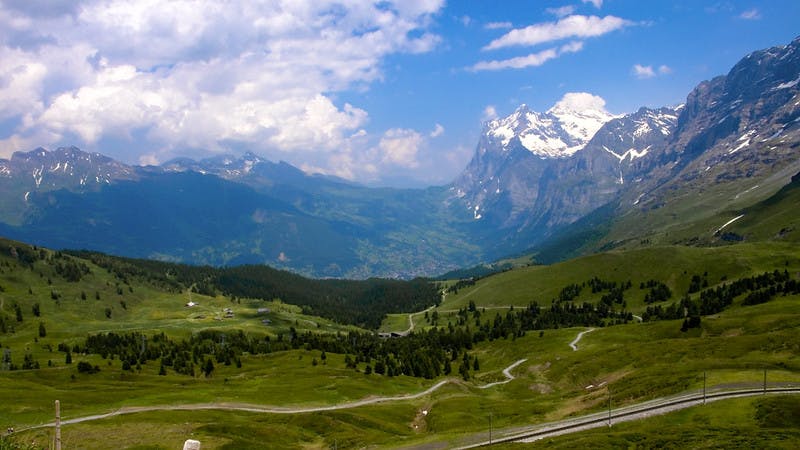
Swiss Transalp: Lucerne to Intertkirchen
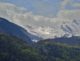
Day 1 of the exhilarating MTB Transalp from Lucerne to Aosta.
Difficult Mountain Biking
- Distance
- 67 km
- Ascent
- 2.4 km
- Descent
- 2.2 km
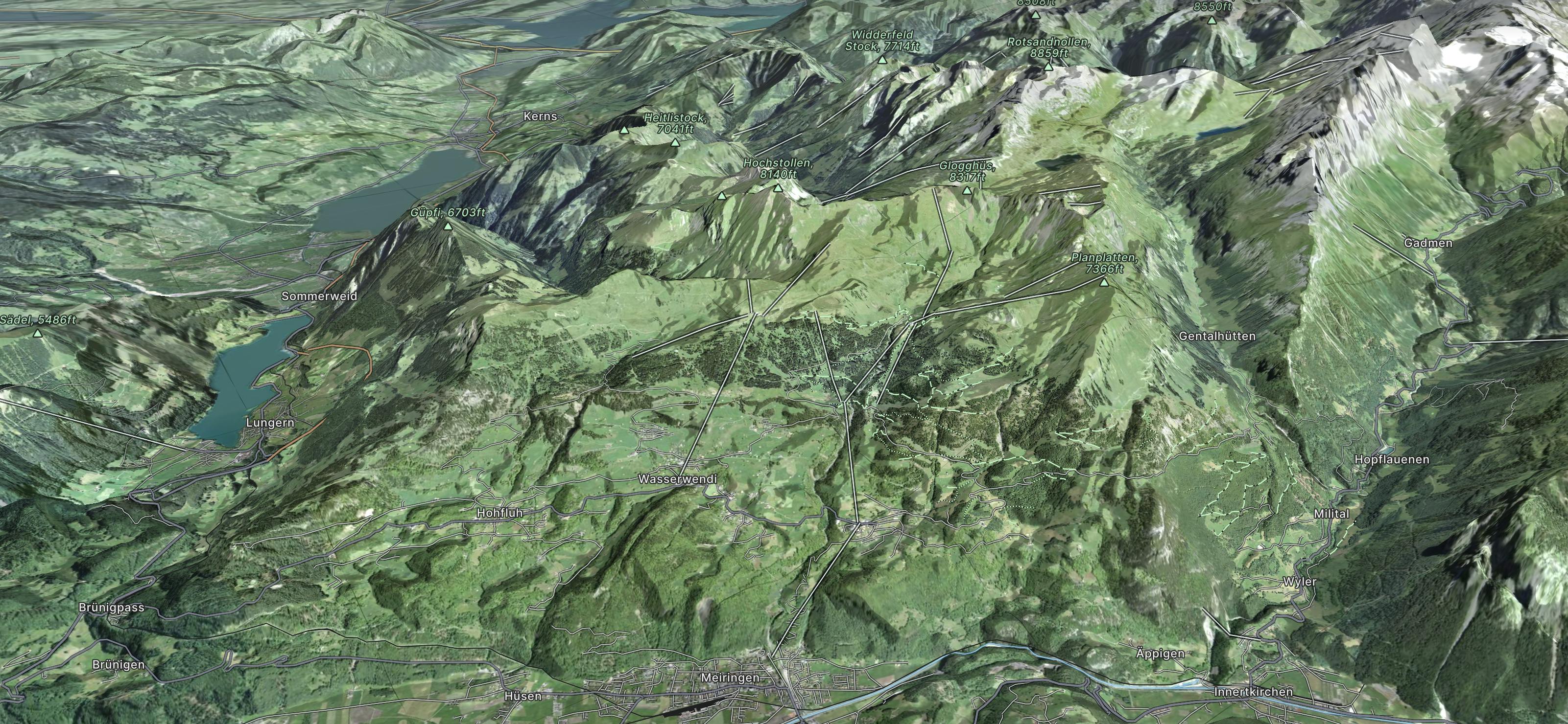
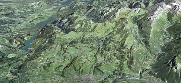
Explore Meiringen-Hasliberg with curated guides of the best routes. With over 4 3D trail maps in FATMAP, you can easily discover and navigate the best trails in Meiringen-Hasliberg.
No matter what your next adventure has in store, you can find a guide on FATMAP to help you plan your next epic trip.
Get a top trail recommendation in Meiringen-Hasliberg from one of our 4 guidebooks, or get inspired by the 4 local adventures uploaded by the FATMAP community. Start exploring now!
Day 1 of the exhilarating MTB Transalp from Lucerne to Aosta.
Difficult Mountain Biking
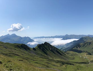
Starting off as a tough climb up to a fantastic lookout point and ending with a gentle descent.
Difficult Hiking

tirp
Moderate Hiking

Trail Running Switzerland East to West
Difficult Trail Running

15 routes · Hiking
3 routes · Hiking
8 routes · Mountain Biking
4 routes · Mountain Biking