39 m away
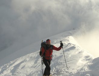
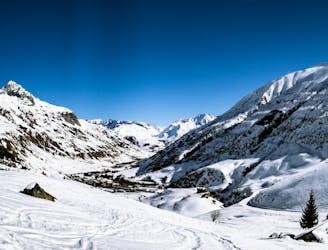
Urner Alps Traverse: Chelenalp Hut to Steingetscher Hotel
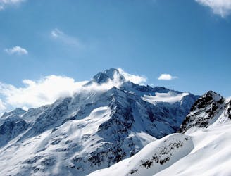
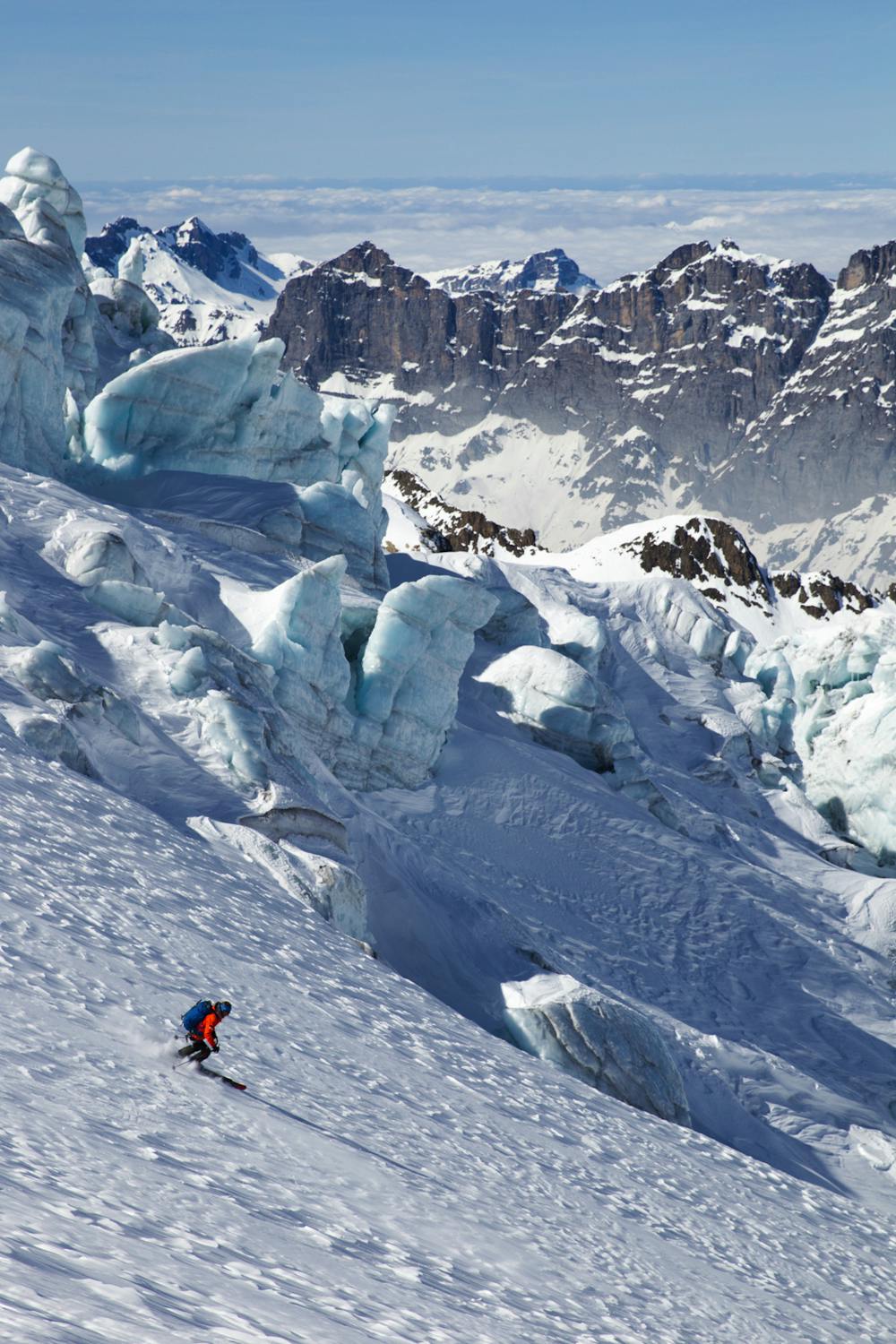
A magnificent long glacial descent, with an optional high summit, the Sustenhorn (3502m).
Difficult Ski Touring
- Distance
- 12 km
- Ascent
- 1.2 km
- Descent
- 1.7 km
Discover one of the most beautiful and steepest Haute Routes in Switzerland.
Also in Uri, Switzerland
Ski Touring Difficult

Program: 'Leaving the canton of Uri via the Sustenlimi, 3,089 meters, we will enter the Bernese Oberland and come to the highest summit on this tour, the Sustenhorn at 3,502 meters. This will be followed by a long run down in an alpine atmosphere over the Stein Glacier at the Susten Pass to the Steinalp Lodge.'
Difficult
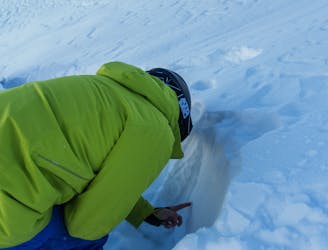
Serious gradient of 30-38 degrees where a real risk of slipping exists.

In case of a fall, death is highly likely.

Away from help but easily accessed.
39 m away
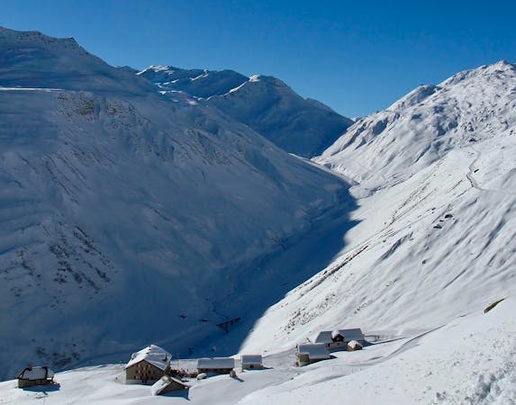
A magnificent long glacial descent, with an optional high summit, the Sustenhorn (3502m).
Difficult Ski Touring
6.6 km away
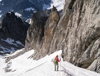
The traverse of the well named Füffingerstock and a long descent, before a short climb to the Sustli Hut.
Difficult Ski Touring
7.2 km away
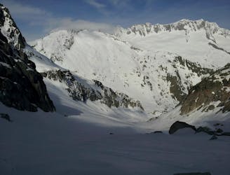
A variety of routes over a high pass to a N facing descent, then a long drag up to a remote hut.
Difficult Ski Touring
9.2 km away
A great ski summit (Grassen, 2946m) followed by an 1800m N facing descent.
Difficult Ski Touring
9.4 km away
Advanced avalanche training | 2 Days
Moderate Ski Touring
9.4 km away
Onwards and upwards! | 3 days
Moderate Ski Touring
9.5 km away
Ski touring essentials for skiers and snowboarders | 3 Days
Easy Ski Touring
9.5 km away
A steady warm up day with an optional ascent of a peak, for the fit and enthusiastic.
Difficult Ski Touring
5 routes · Ski Touring