61 m away
Rotondo alpine ski tour for beginners by Mammut Alpine School
Onwards and upwards! | 3 days
Moderate Ski Touring
- Distance
- 11 km
- Ascent
- 1.9 km
- Descent
- 498 m
A steady warm up day with an optional ascent of a peak, for the fit and enthusiastic.
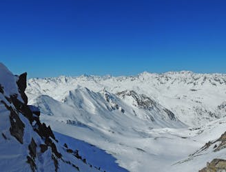
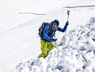
Ski Touring Difficult

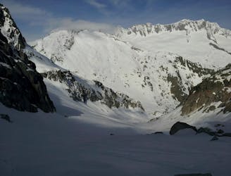
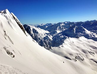
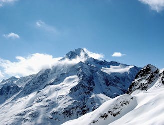
Realp is accessible by train from either your eventual finish point of Engelberg, or from elsewhere. From Engelberg, head up the gentle road (hopefully snow covered) leaving from the village and rising slowly to the SW. You can cut all the hairpins by taking steeper slopes which then flatten off at the hamlet of Galenstock at 1995m. From here you head NW, taking the line of least resistance, up onto a bench above steep ground, near point 2395m. From here contour round, under steep ground above you on the R, before a final steepening up to the well positioned Albert Heim Hut at 2543m. An alternative approach takes a line slightly further E, up onto the ridge and taking in the summit of the Shafberg at 2591m, then descending the connecting ridge to the hut. Many will be satisfied with this day, but an optional extra is to take in a summit to the W, which has a N facing descent, often holding good snow. From the hut head to the W, then SW, taking the obvious line into the bowl enclosed by the Gross Bielenhorn and the Chli Bielenhorn. Carry on up here, on slopes at about 30 degrees, curving L to the summit of the Chli Bielenhorn at 2940m. The last part of this ascent may be an easy scramble on foot. Reverse your line of ascent to the hut.
Difficult
Serious gradient of 30-38 degrees where a real risk of slipping exists.

As well as the slope itself, there are some obstacles (such as rock outcrops) which could aggravate injury.

Little chance of being seen or helped in case of an accident.
61 m away
Onwards and upwards! | 3 days
Moderate Ski Touring
68 m away
Advanced avalanche training | 2 Days
Moderate Ski Touring
112 m away
Ski touring essentials for skiers and snowboarders | 3 Days
Easy Ski Touring
3.2 km away
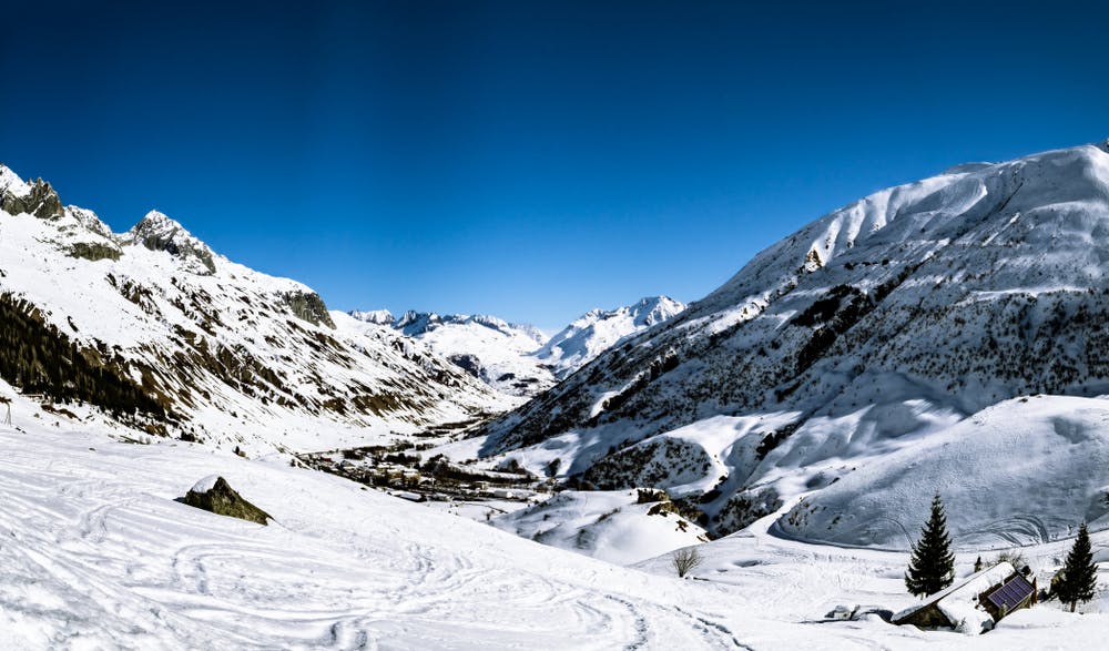
A variety of routes over a high pass to a N facing descent, then a long drag up to a remote hut.
Difficult Ski Touring
5.5 km away
Staying safe out there! | 2 Days
Moderate Ski Touring
6.1 km away
Day 6: Pizzo Lucendro then down to Realp
Severe Ski Touring
8.4 km away
Banish those Monday Blues! | 1 Day
Moderate Ski Touring
8.4 km away
Nice variant of Unteralpthal that needs 45 minutes of walking.
Difficult Ski Touring
9.4 km away
A magnificent long glacial descent, with an optional high summit, the Sustenhorn (3502m).
Difficult Ski Touring
6 routes · Ski Touring
5 routes · Ski Touring