6 m away
Mammut Mountain Monday - Andermatt by Mammut Alpine School
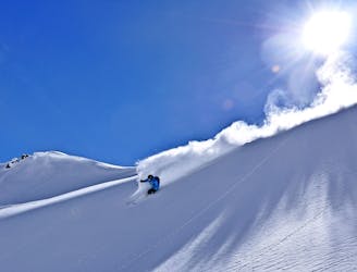
Banish those Monday Blues! | 1 Day
Moderate Ski Touring
- Distance
- 14 km
- Ascent
- 900 m
- Descent
- 2.4 km
Nice variant of Unteralpthal that needs 45 minutes of walking.
Ski Touring Difficult
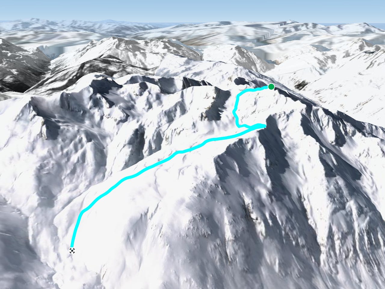
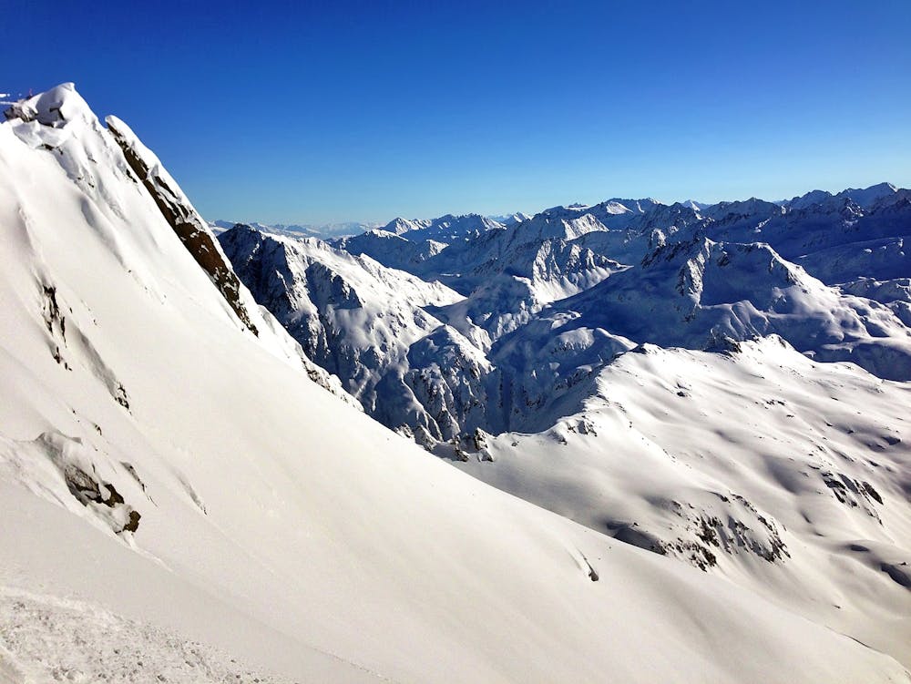
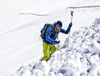
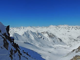
From Top of Gemsstock you cross directly under the black/yellow rope, heading south into off-piste terrain. The first part is about 35 degrees for a few turns, then flat and then again 35 degrees for twice as long, and with a lot of traversing. When you arrive 100 metres beneath a little pass, keep on your very left and go onto a kind of flat ridge. There you have a long, wide ride down, heading northeast.
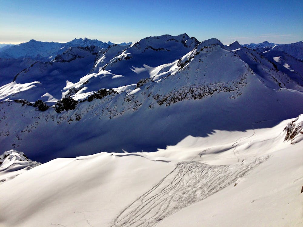
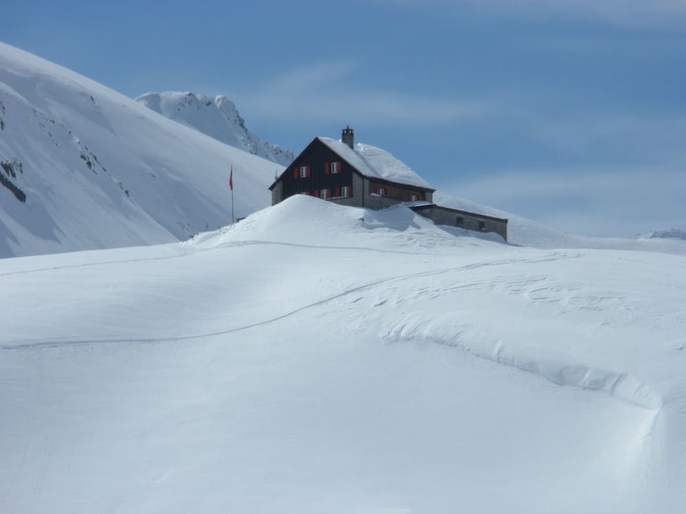
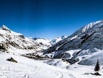
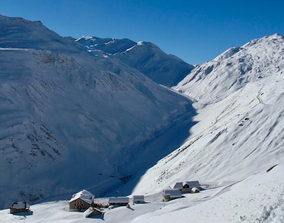
Now, you have to put your skins to continue straight ahead, still going northeast. You gain about 150 vertical metres while going up to the ridge. From there you come "back" south-eastwards, following little valleys. When you arrive at a hut (Gafallenstaffe, 2334 metres) you are perfect.
Further left, it gets steeper and not very comfortable in the late season when it is heating up. Keep going down to the bottom of the Unteralpthal, pass by the Vermigelhütte, and arrive after 30-40 minutes in Andermatt.
Difficult
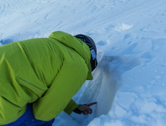
Serious gradient of 30-38 degrees where a real risk of slipping exists.

Exposure is limited to that of the slope itself. Getting hurt is still likely if the slope is steep and/or the snow is hard.

Little chance of being seen or helped in case of an accident.
6 m away
Banish those Monday Blues! | 1 Day
Moderate Ski Touring
3.8 km away
Staying safe out there! | 2 Days
Moderate Ski Touring
7.8 km away
Short ascents, long descents | 2 Days
Moderate Ski Touring
8.2 km away

Mellow non-glaciated touring past some frozen lakes
Moderate Ski Touring
8.3 km away
Ski touring essentials for skiers and snowboarders | 3 Days
Easy Ski Touring
8.4 km away
Advanced avalanche training | 2 Days
Moderate Ski Touring
8.4 km away
Onwards and upwards! | 3 days
Moderate Ski Touring
8.4 km away
A steady warm up day with an optional ascent of a peak, for the fit and enthusiastic.
Difficult Ski Touring
5 routes · Ski Touring