Teysachaux - Couloir W
Short but nice skitour for a rewarding descent next to Les Paccots
Ski Touring Difficult
- Distance
- 5.9 km
- Ascent
- 742 m
- Descent
- 744 m
- Duration
- 3-4 hrs
- Low Point
- 1.2 km
- High Point
- 1.9 km
- Gradient
- 37˚

You start the climb from the parking right after Les Pueys, following the road between the two chalets. You start going up on the deforested valley, and around 1350 m, turn right from the main slope to a chalet located at the side of the road (La Chaux, 1542 m).
- •
- •
- •
- •
- •
Description
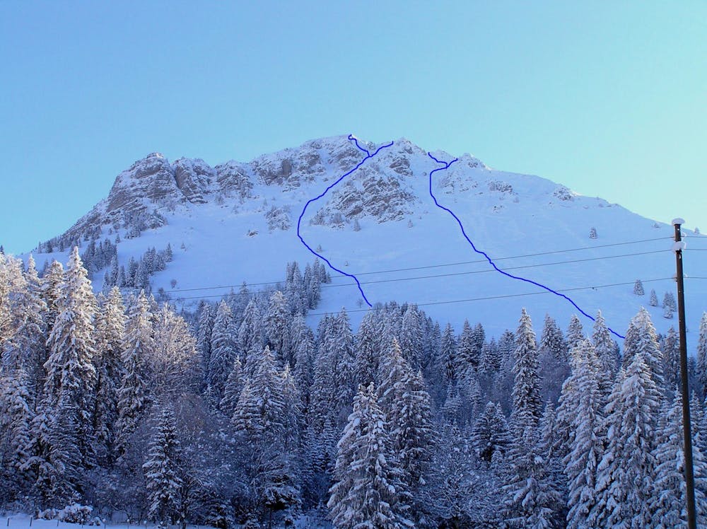
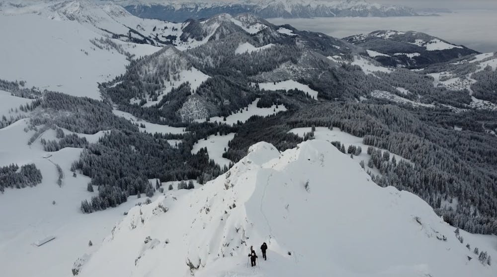
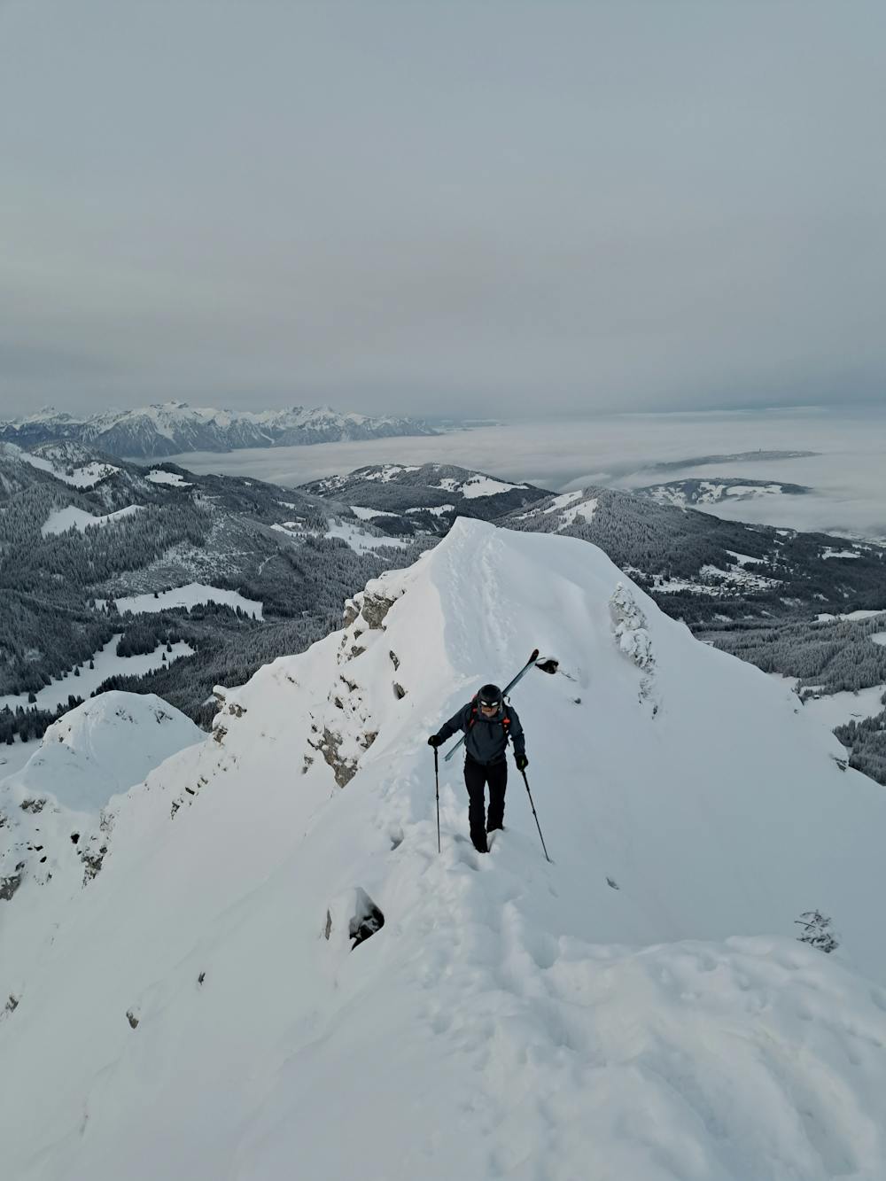
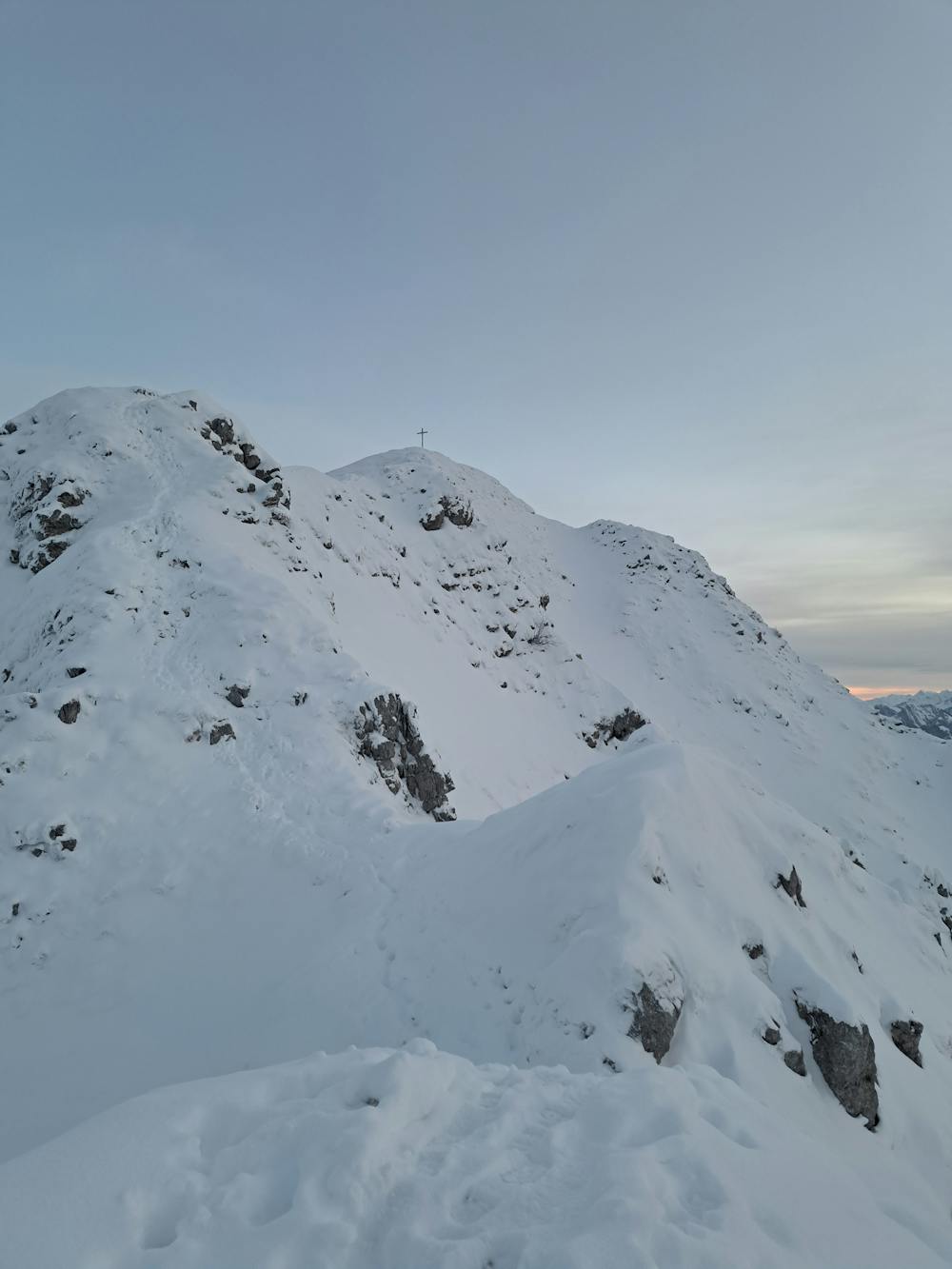
From there, via the W slopes, join the SW ridge and follow it to the antepeak (1850 m). Follow the easy but exposed ridge on foot to the summit (cross).
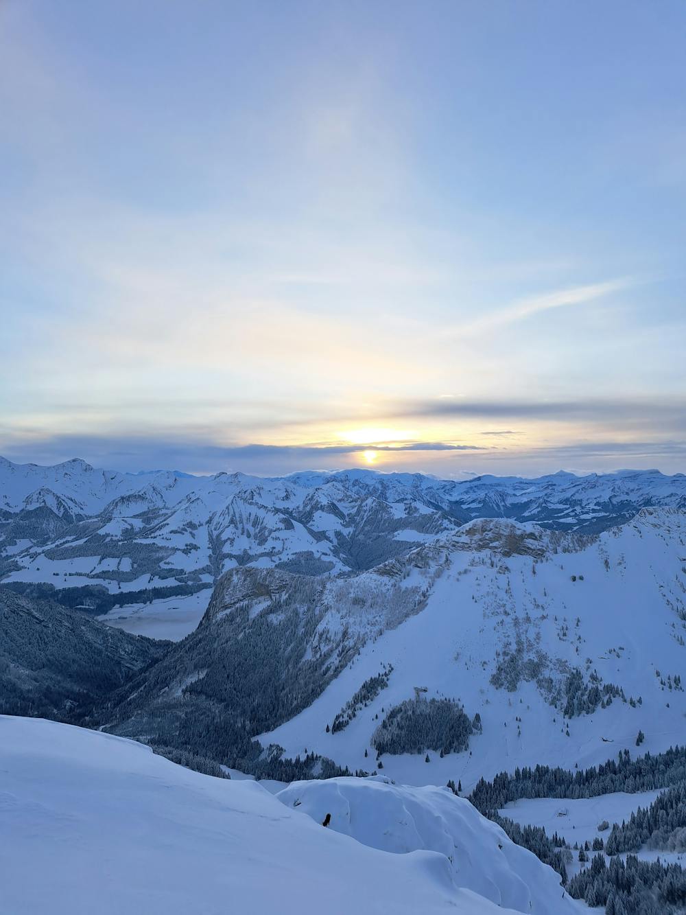
From the top, you get several options to descend the beautiful W face of Teysachaux: either directly below the summit through one of the couloirs (30-35°/300m ; passages à 37°) or from the ridge.
Ice axe and crampons recommended in case of bad conditions for the summit ridge.
Difficulty
Difficult
Serious gradient of 30-38 degrees where a real risk of slipping exists.
Low Exposure (E1)

Exposure is limited to that of the slope itself. Getting hurt is still likely if the slope is steep and/or the snow is hard.
Remoteness

Away from help but easily accessed.
Best time to visit
Features
- Couloir
Equipment required
- Skins
- Ice axe
- Crampons