Pischa Hike
Davos Klosters
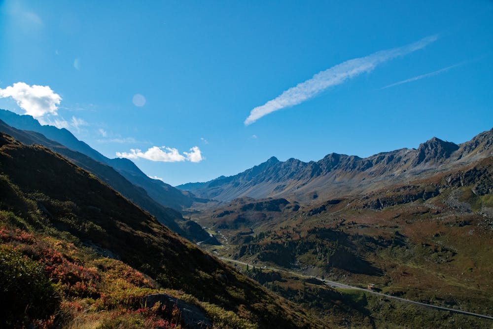
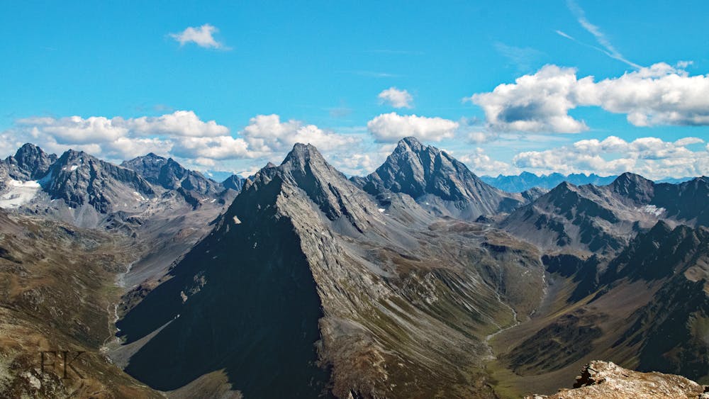
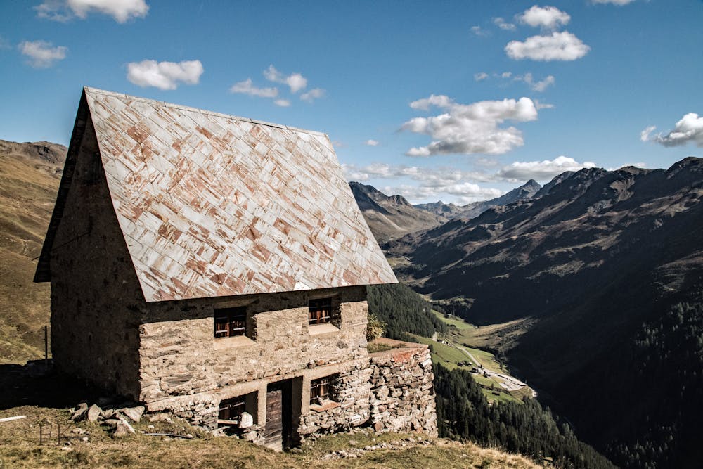
Day-hike to the Pischa top. Start in Tschuggen, end in Davos
Hiking Difficult
- Distance
- 18 km
- Ascent
- 1.2 km
- Descent
- 1.5 km
- Duration
- 5-6 hrs
- Low Point
- 1.6 km
- High Point
- 3 km
- Gradient
- 18˚

Take the PostAuto to the small church in Tschuggen, on the way to the Flüelapass. From there start hiking up in direction of the Pischabahn top station. From the station follow the direcitons to the Pischahorn. The direct trail is quite steep but fast. The return is through a smoother descending ring that will pass next to the Pischasee. Once back at the Pischabahn top station there are many trails descending to Davos, a ridge trail and a more direct one (the one in the track).
- •
- •
- •
- •
- •
Difficulty
Difficult
Hiking trails where obstacles such as rocks or roots are prevalent. Some obstacles can require care to step over or around. At times, the trail can be worn and eroded. The grade of the trail is generally quite steep, and can often lead to strenuous hiking.
Medium Exposure

The trail contains some obstacles such as outcroppings and rock which could cause injury.
Remoteness
Away from help but easily accessed.
Best time to visit
Features
- Alpine
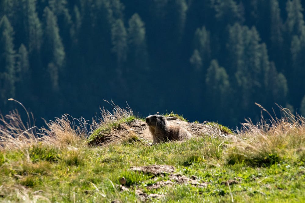
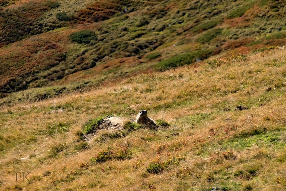
- Wildlife
- Picturesque
- Summit Hike