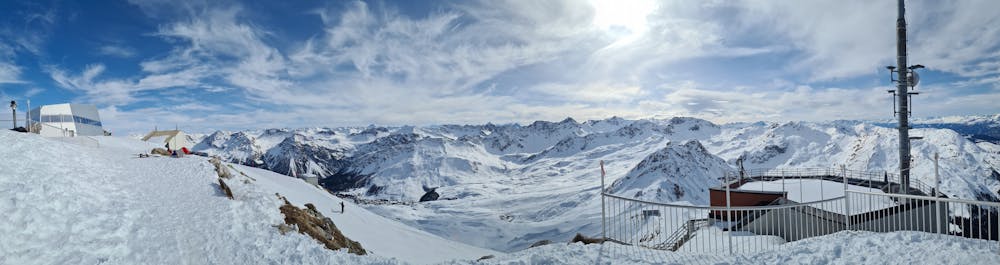
Prätschli - Weisshorn - winter hike
Arosa and Lenzerheide
Winterwandern mit Grödeln - winter hike with light crampons
Hiking Moderate
- Distance
- 6.4 km
- Ascent
- 778 m
- Descent
- 35 m
- Duration
- 2-3 hrs
- Low Point
- 1.9 km
- High Point
- 2.6 km
- Gradient
- 10˚

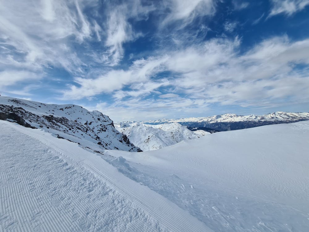
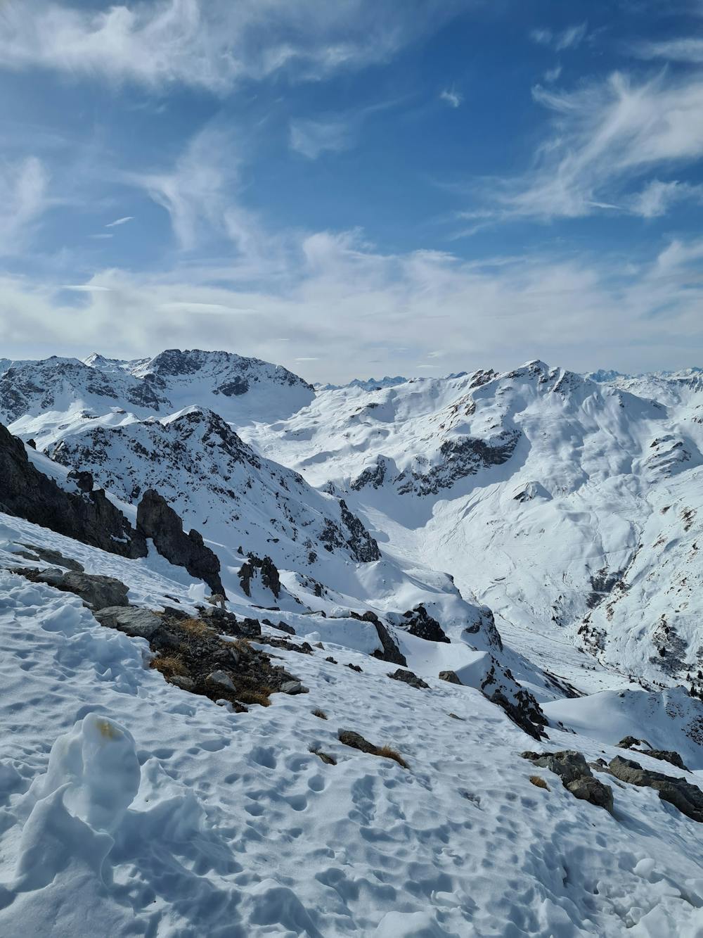
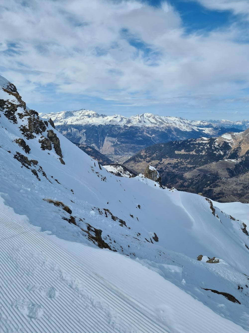
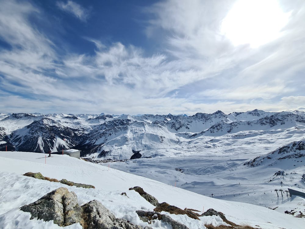
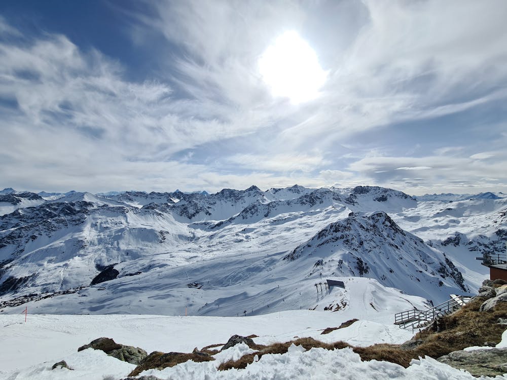
This is a popular hiking route which is generally considered to be moderate. It's remote, it features low exposure and is typically done between December and March. From a low point of 1.9 km to the maximum altitude of 2.6 km, the route covers 6.4 km, 778 vertical metres of ascent and 35 vertical metres of descent.
- •
- •
- •
- •
- •
- •
- •
- •
- •
- •
- •
- •
- •
- •
- •
- •
- •
- •
Description
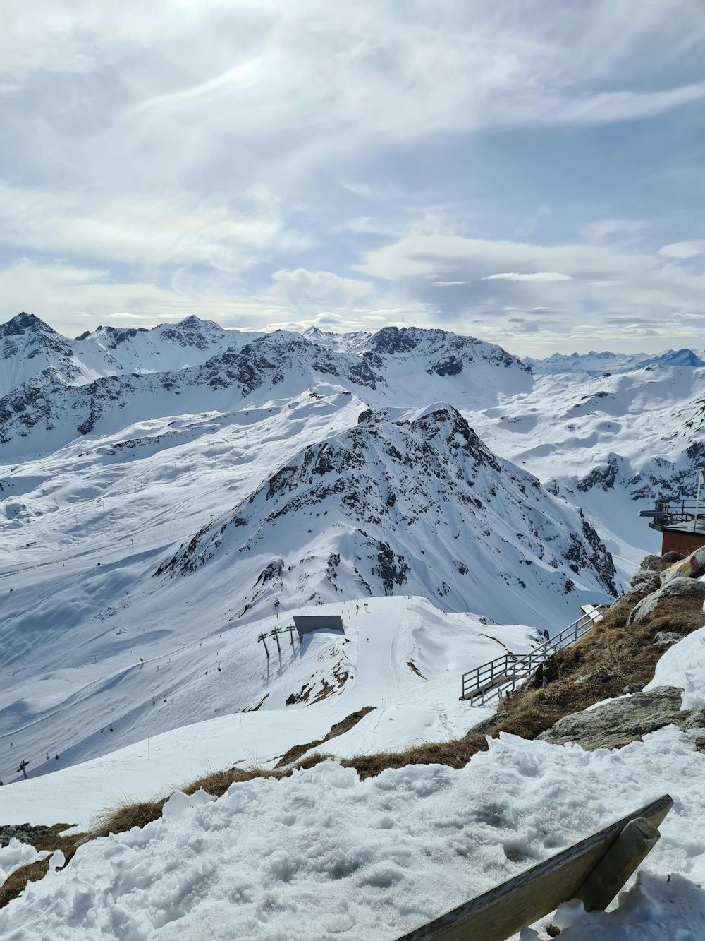
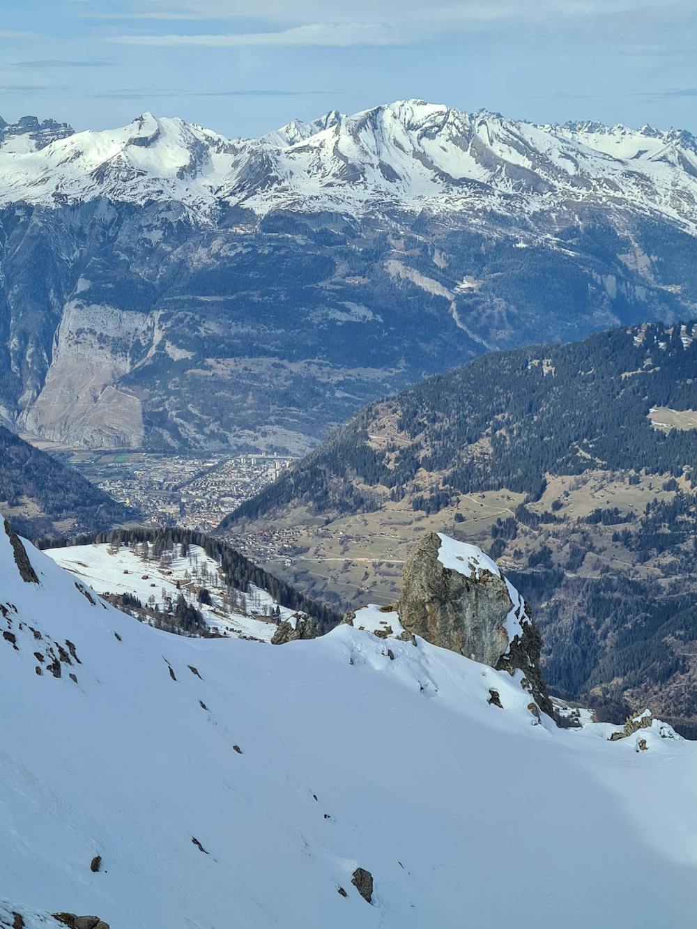
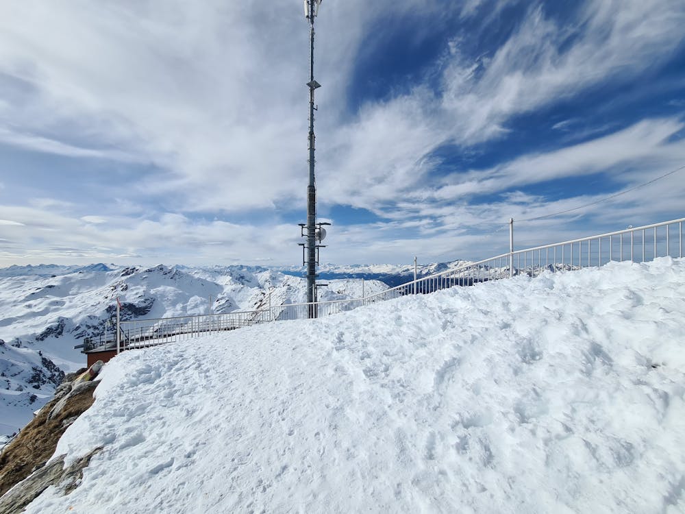
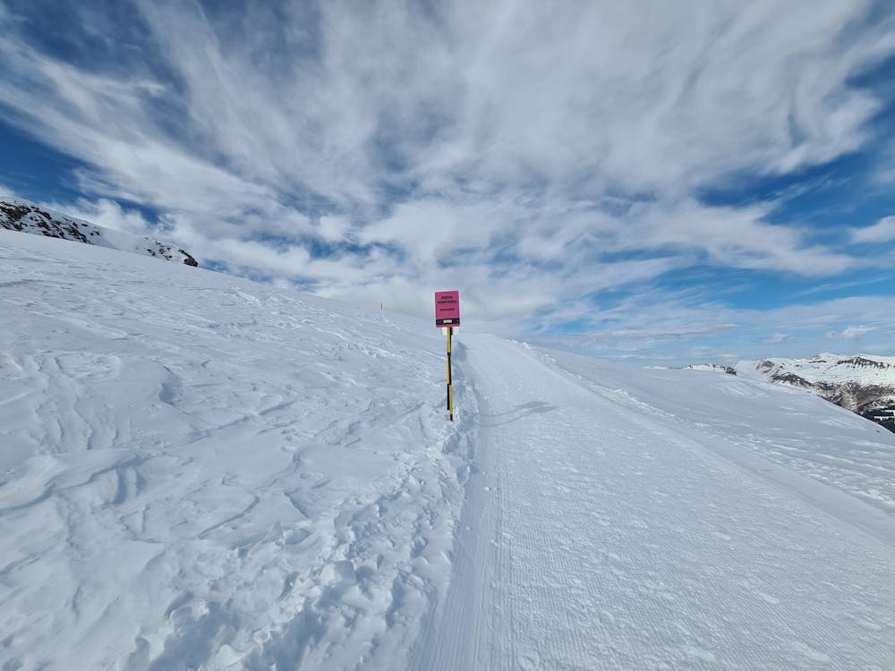
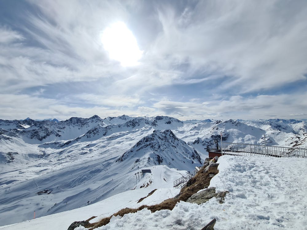
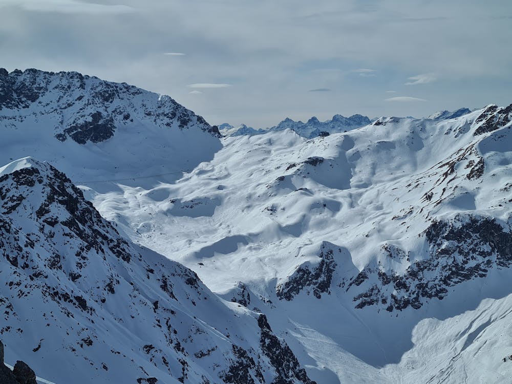
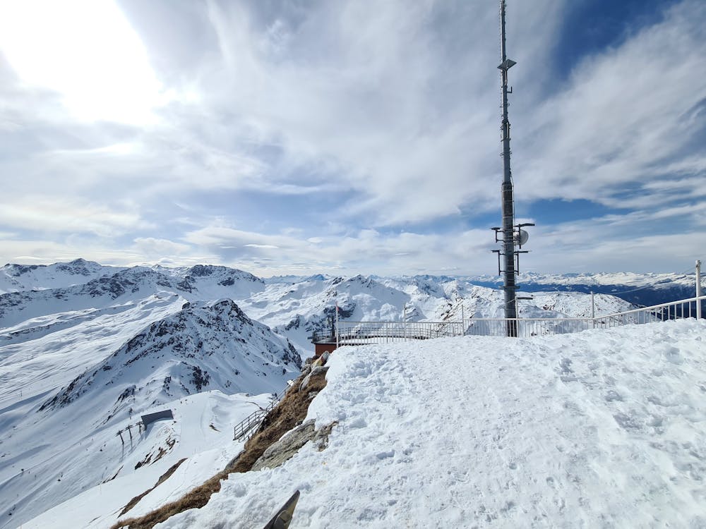
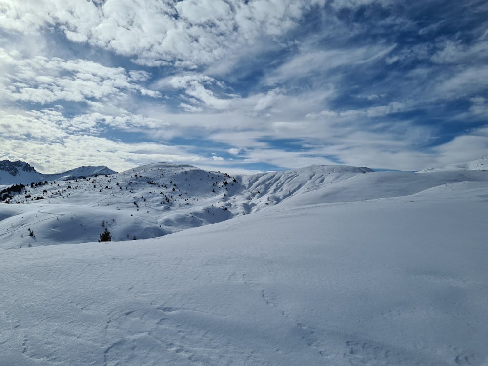
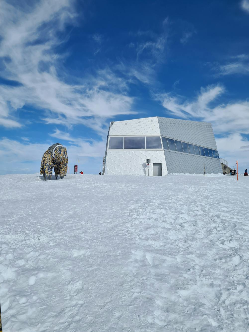
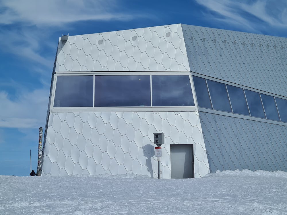
Arosa (Prätschli) - Weisshorn non-stop on official winter hiking route (marked pink)
Difficulty
Moderate
Hiking along trails with some uneven terrain and small hills. Small rocks and roots may be present.
Low Exposure

The path is on completely flat land and potential injury is limited to falling over.
Remoteness

Away from help but easily accessed.
Best time to visit
Features
- Alpine
- Picturesque
- Summit Hike