3 routes · Hiking
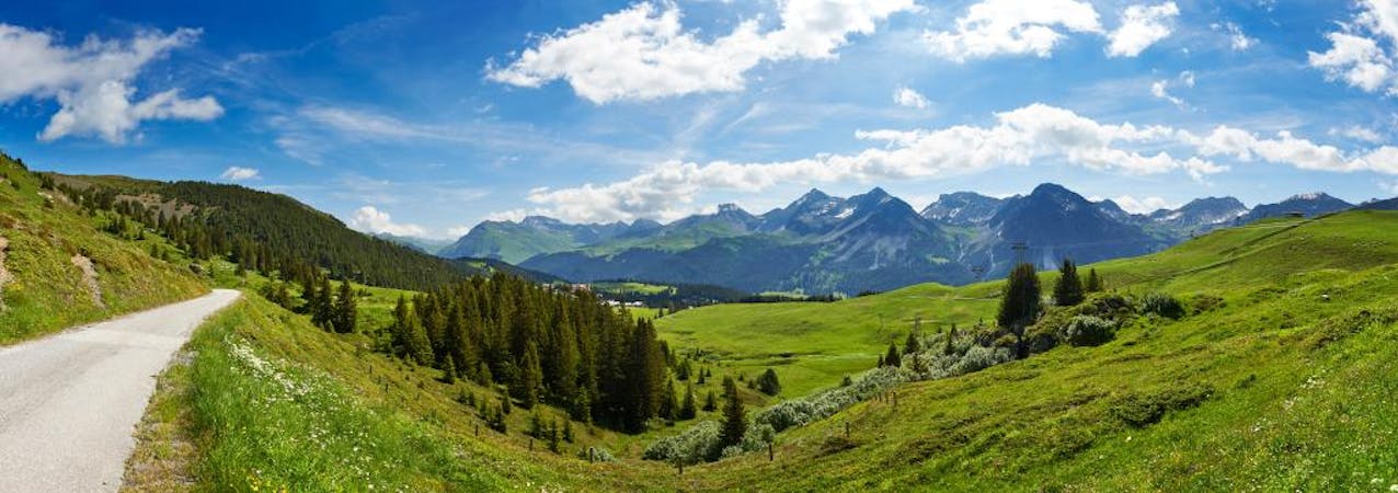
A stunning traverse of the Lenzerheide valley starting high up in the alpine.
Hiking Moderate

Starting at the top of Scalottas at 2323mtrs this moderatly easy hike traverses the beautiful Lenzerheide valley. Make sure you have you camera ready as photos opportunities present themselves regulary. Even from the lift to the start of this great hike you will be see local wildlife including rabbits, marmots and deer. Once you decide on the first trail to take it is an easy walk down the acess road past your first attraction. June Hutte is an alpine hut built in the memory of a girl that loved Lenzerheide. Once completed it was given to the town for everyone to enjoy. June Hutte is a great place to have a cold drink in summer or a warm one in winter as the ski run goes straight by. Keeping June Hutte on your right and continuing to enjoy the views, remain on the access road untill the single trail turn off on your left. The single trail will cross under the Gertrud T-bar and above Alp Nova restaurant. You can start to imagine what Lenzerheide is like in winter as you are now in the heart of the ski area. The next part of the hike is probably the hardest. Making the left turn up the access road you are literally walking directly up the red ski run of Lavos. Its only a few hundred meters up the road to the start of the traverse. Have a drink and let the legs rest before starting the breathtaking traverse on the wide single trail to Alp Statz. You will know you have reached Alp Statz as the trail will meet with an access road and you should be able to see a hand full of buildings including a farm. Its an easy stroll down the access road past the farm and restaurants. It is higly reccomended to stop at restaurant Statz Damiez for a drink or a nice lunch. You will recognise the restaurant by the cow on the balcony. The rest of the hike is very straight forward, mainly on access roads and with a few little ups and downs along the way. About half way back to the start of the hike is restaurant Spoina. A very unique place to stop and have a little rest. Once past Spoina just keep on the main access road until you are back in the Tganteini area.
Moderate
Hiking along trails with some uneven terrain and small hills. Small rocks and roots may be present.
3 routes · Hiking