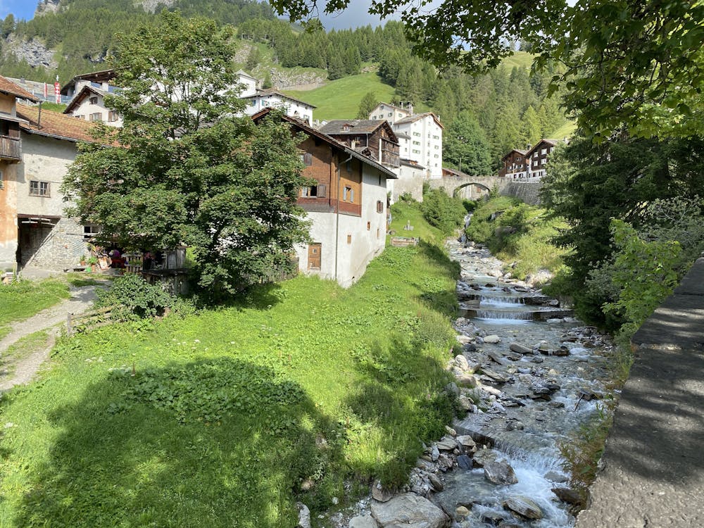
Splügen - Surettaseen - July 13 2020
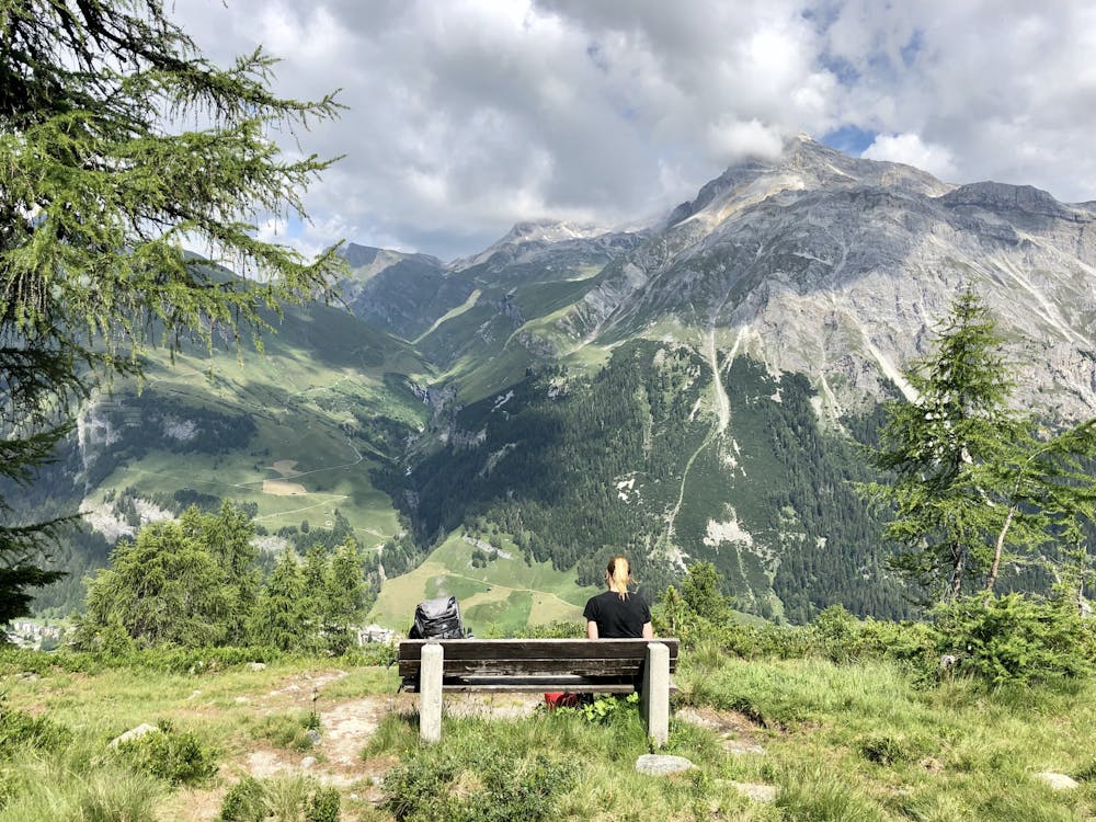
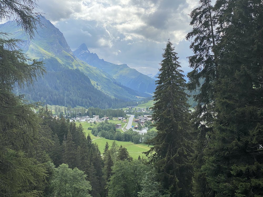
A feast of breathtaking views the entire way.
Hiking Moderate
- Distance
- 16 km
- Ascent
- 982 m
- Descent
- 981 m
- Duration
- 4-5 hrs
- Low Point
- 1.4 km
- High Point
- 2.3 km
- Gradient
- 16˚

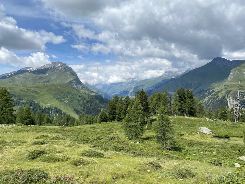
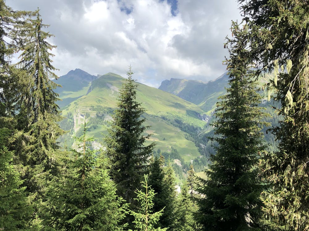
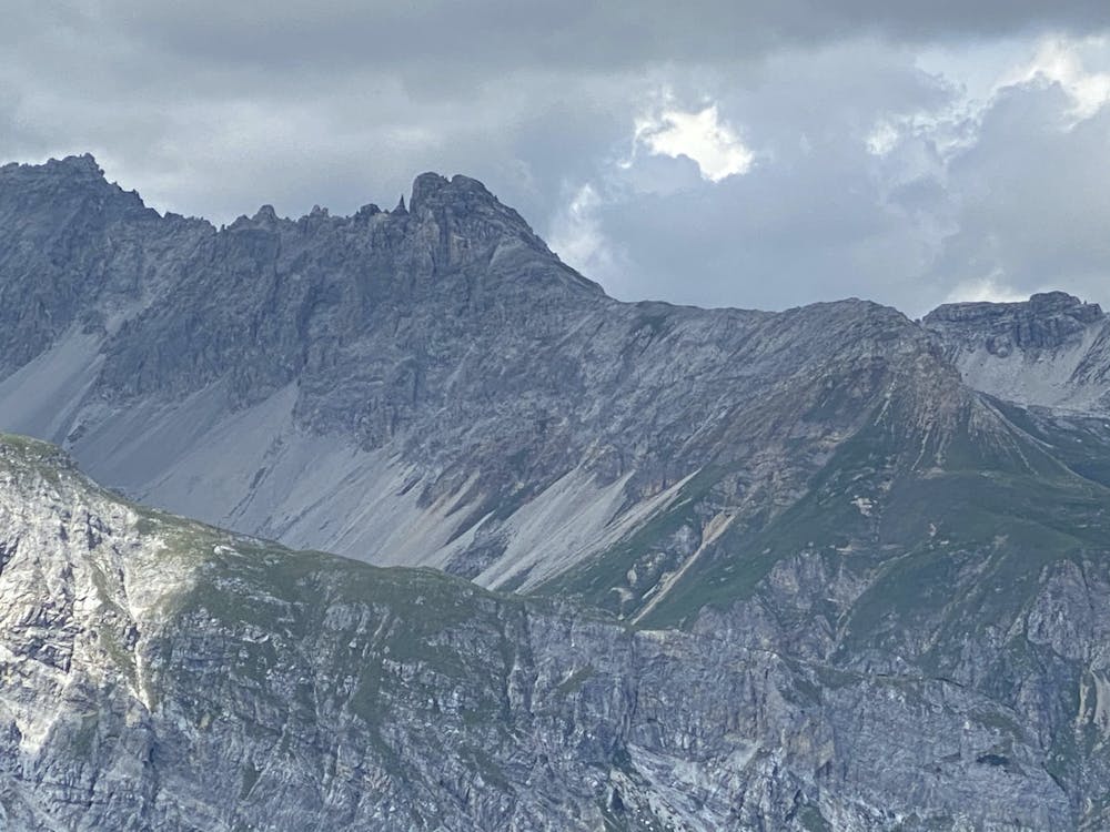
This is a popular hiking route which is generally considered to be moderate. It's remote, it features medium exposure and is typically done between April and September. From a low point of 1.4 km to the maximum altitude of 2.3 km, the route covers 16 km, 982 vertical metres of ascent and 981 vertical metres of descent.
- •
- •
- •
- •
- •
- •
- •
- •
- •
- •
- •
- •
- •
- •
- •
- •
- •
- •
Description
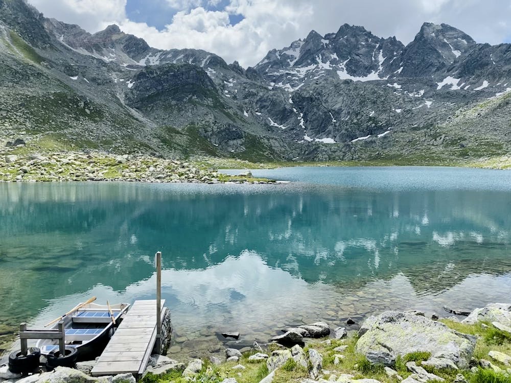
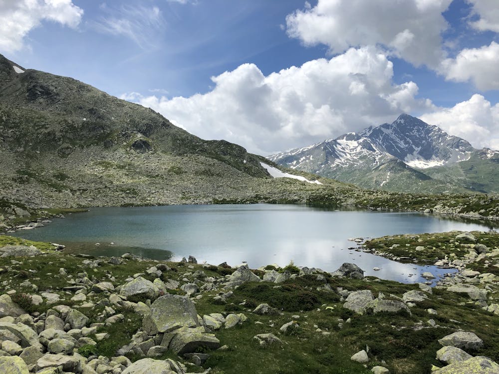
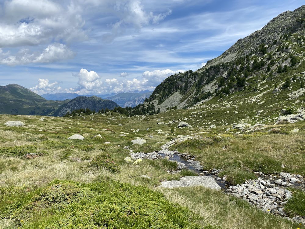
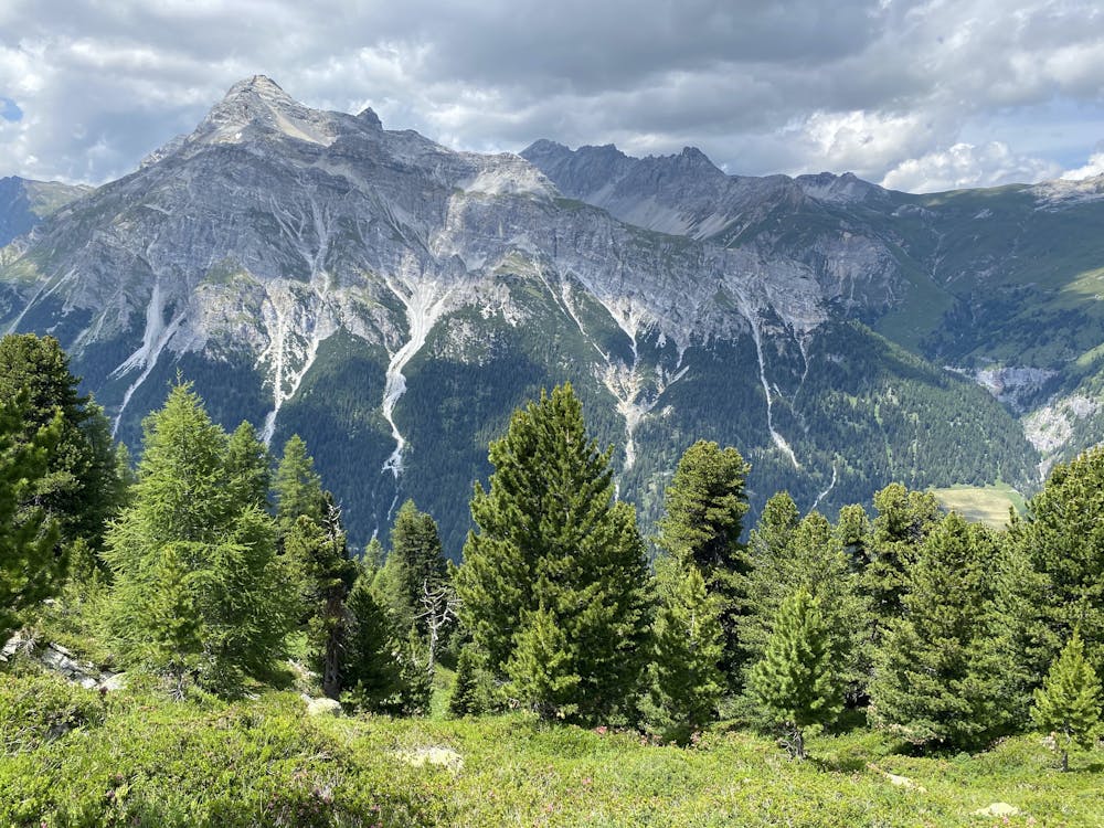
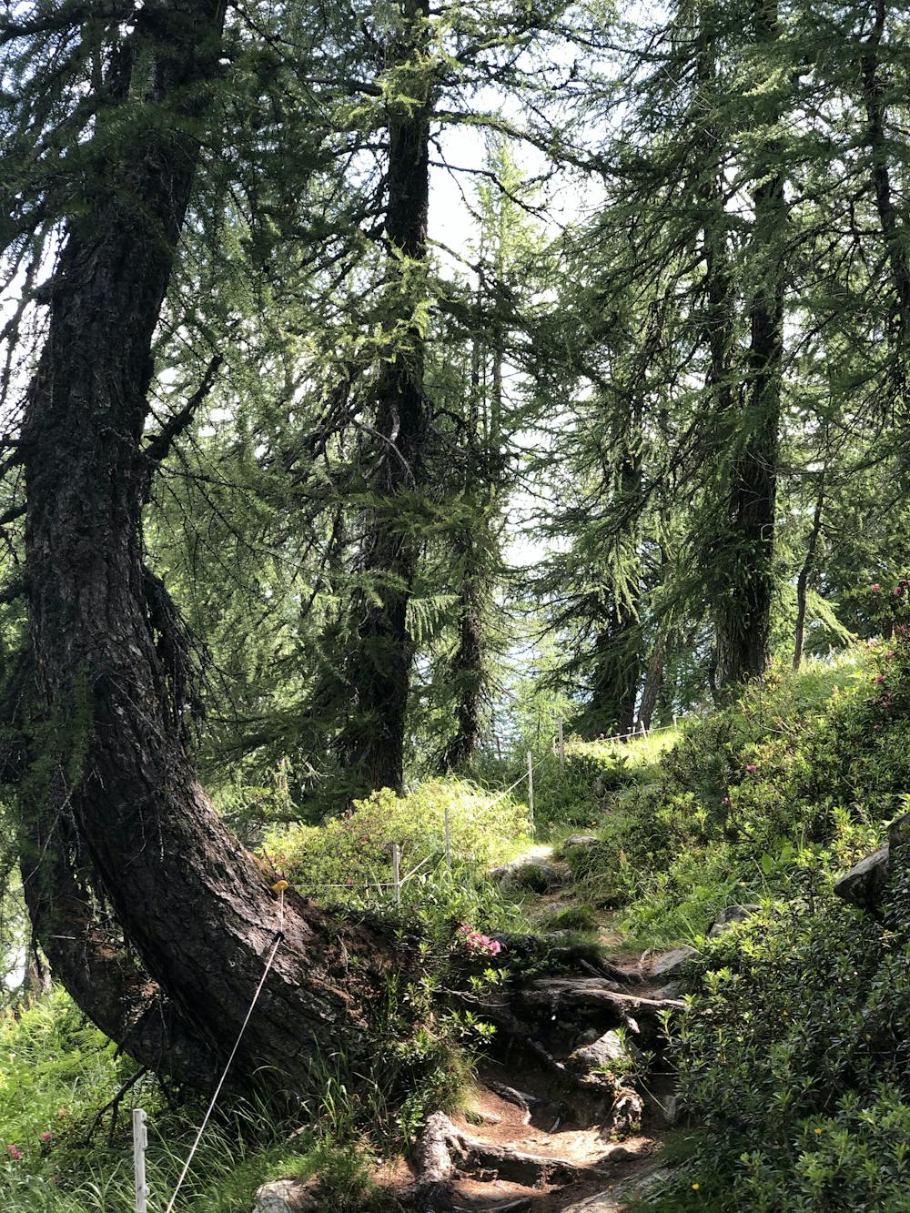
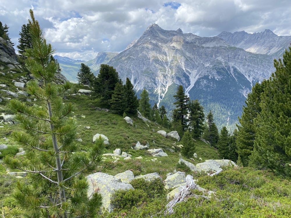
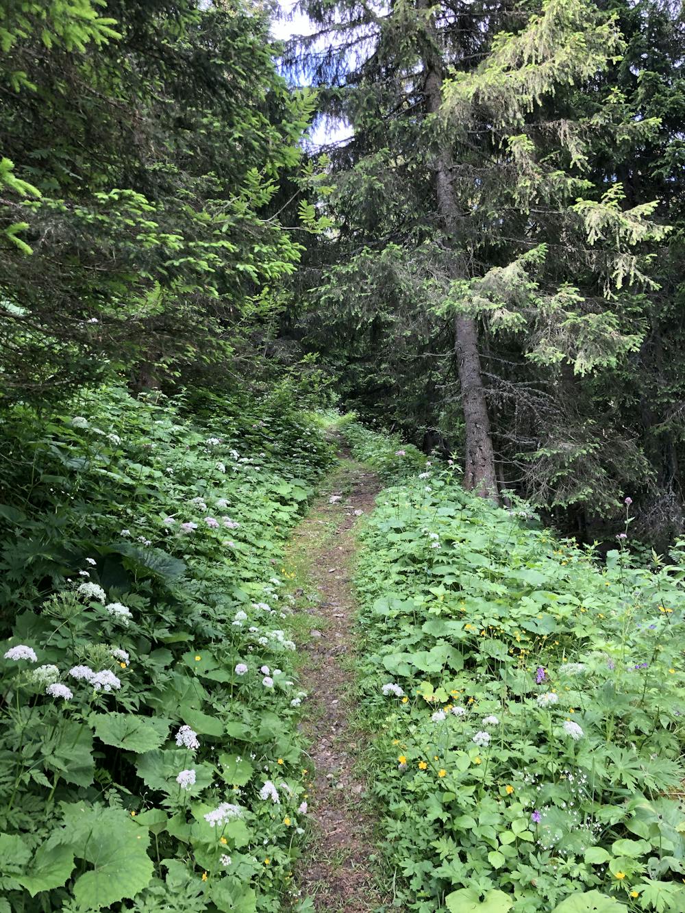
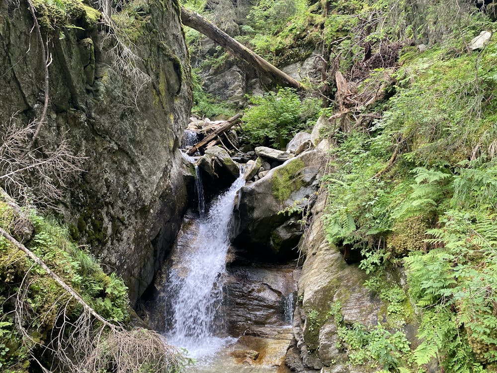
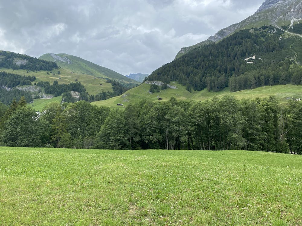
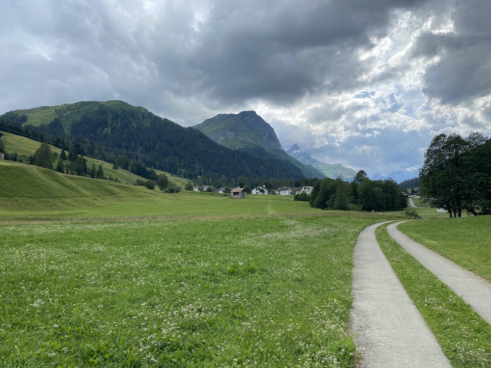
Lakes for a relaxing lunch break. Birds. Flowers. Gorgeous and delicious aroma of pine trees. Spectacular. The path is very well taken care of.
Difficulty
Moderate
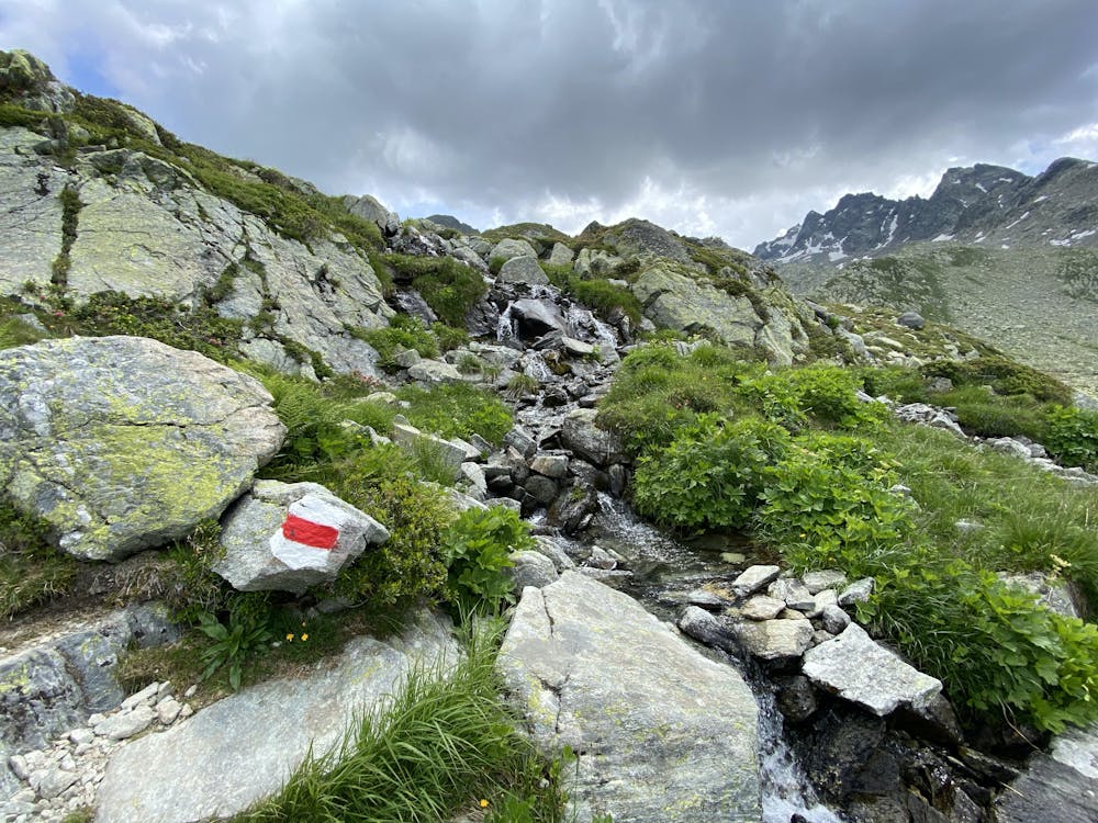
Hiking along trails with some uneven terrain and small hills. Small rocks and roots may be present.
Medium Exposure

The trail contains some obstacles such as outcroppings and rock which could cause injury.
Remoteness
Away from help but easily accessed.
Best time to visit
Features
- Alpine
- Wildlife
- Historical
- Picturesque
- Wild flowers
- Water features
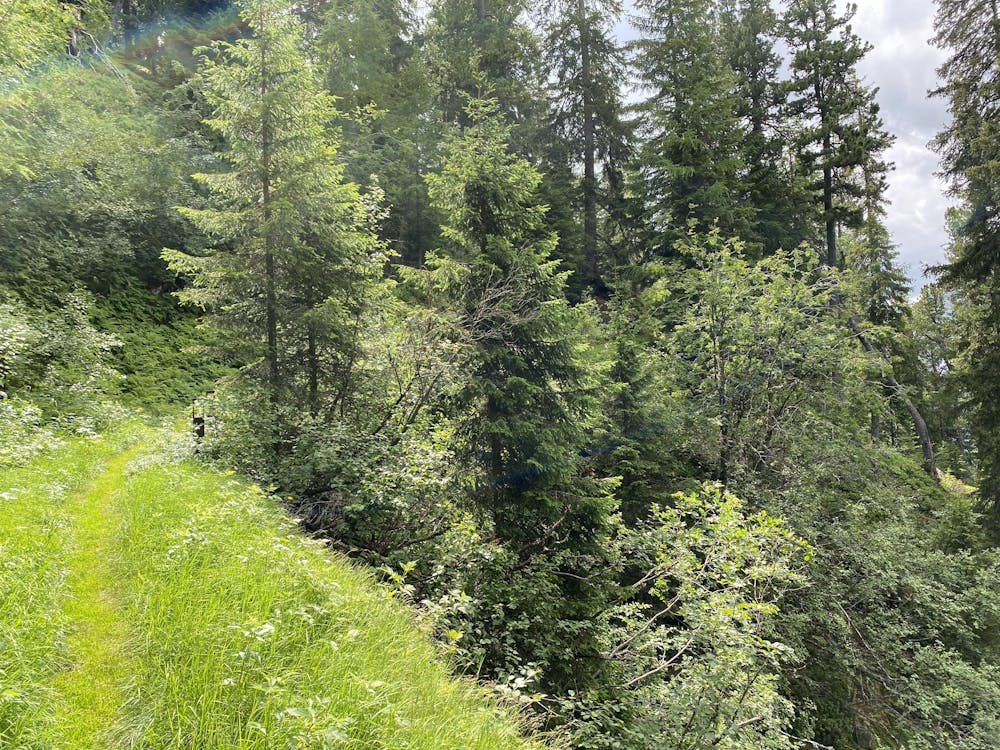
- Forestry or heavy vegetation