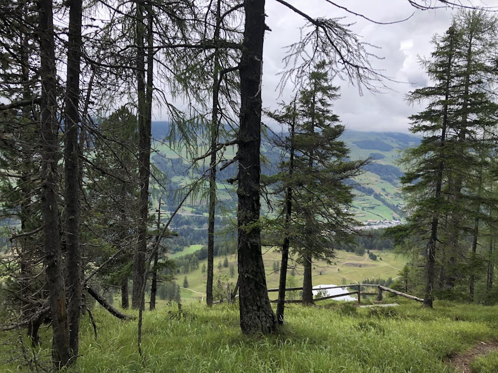
Sur Mottas
einfachste Wanderung (Spaziergang) zum Aussichtspunkt Sur Mottas mit Abstecher an den lai nair (Moorgebiet)
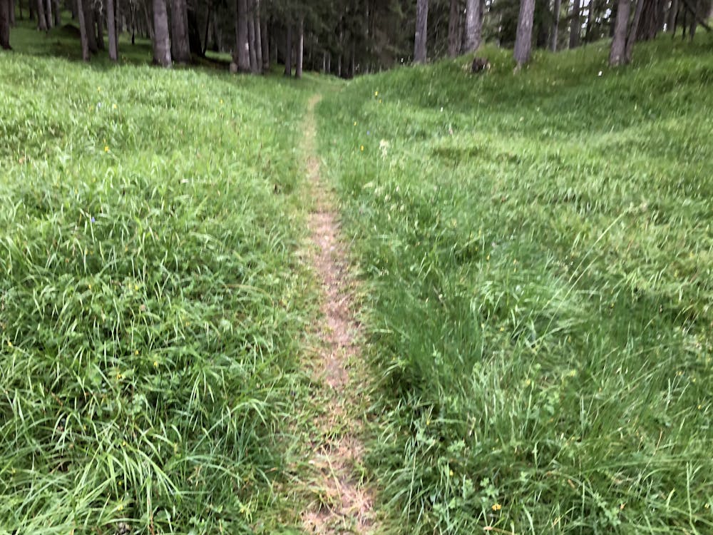
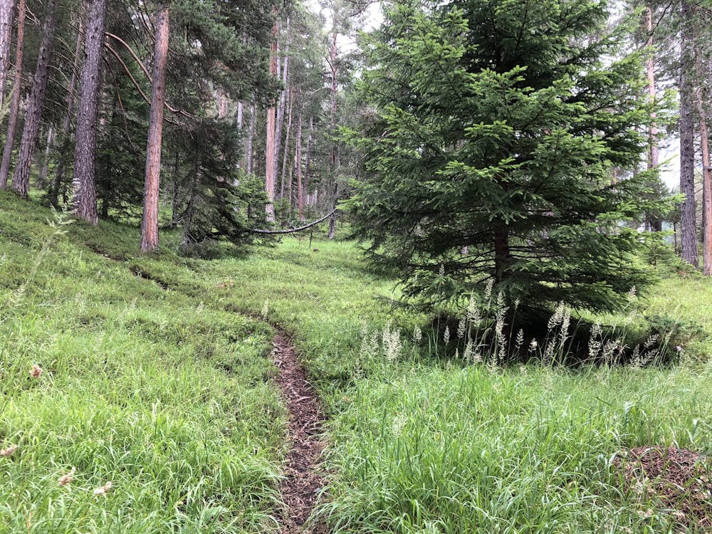
Hiking Easy
- Distance
- 5.4 km
- Ascent
- 73 m
- Descent
- 429 m
- Duration
- 1-2 hrs
- Low Point
- 1.4 km
- High Point
- 1.8 km
- Gradient
- 10˚

This is a popular hiking route which is generally considered to be easy. It's not remote, it features low exposure and is typically done between May and September. From a low point of 1.4 km to the maximum altitude of 1.8 km, the route covers 5.4 km, 73 vertical metres of ascent and 429 vertical metres of descent.


- •
- •
- •
- •
- •
- •
- •
- •
- •
- •
- •
Description
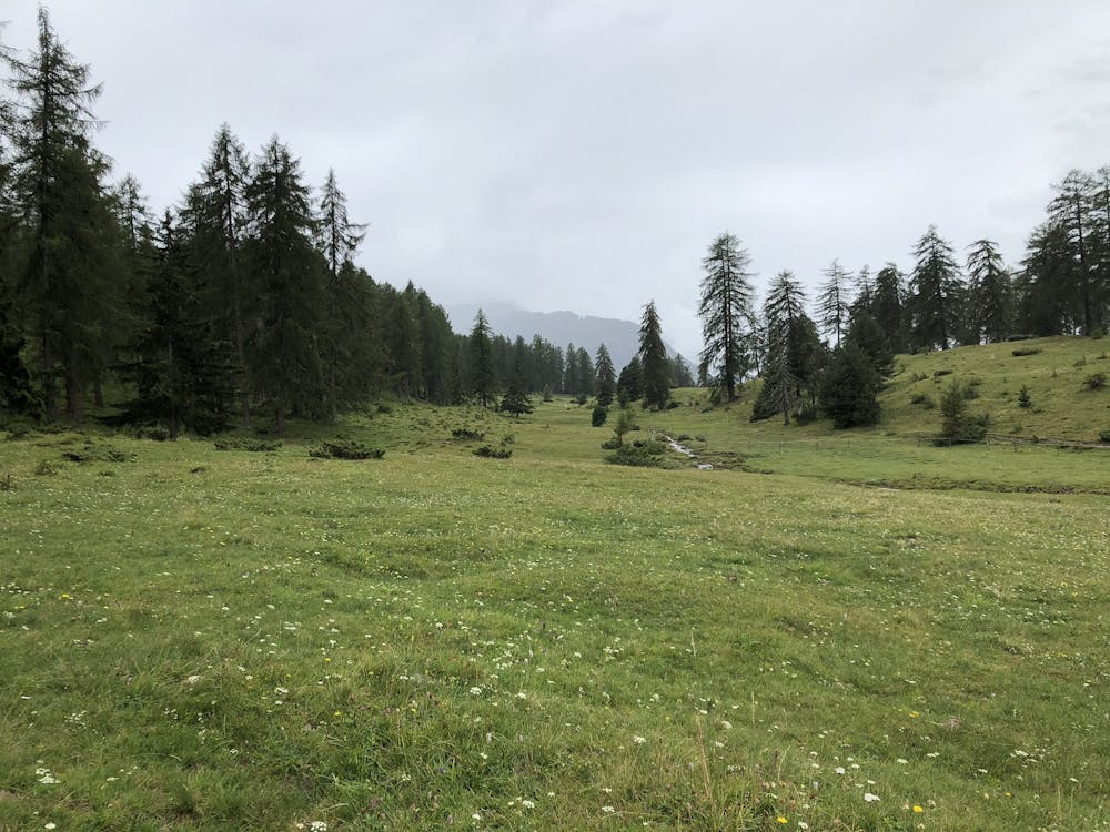
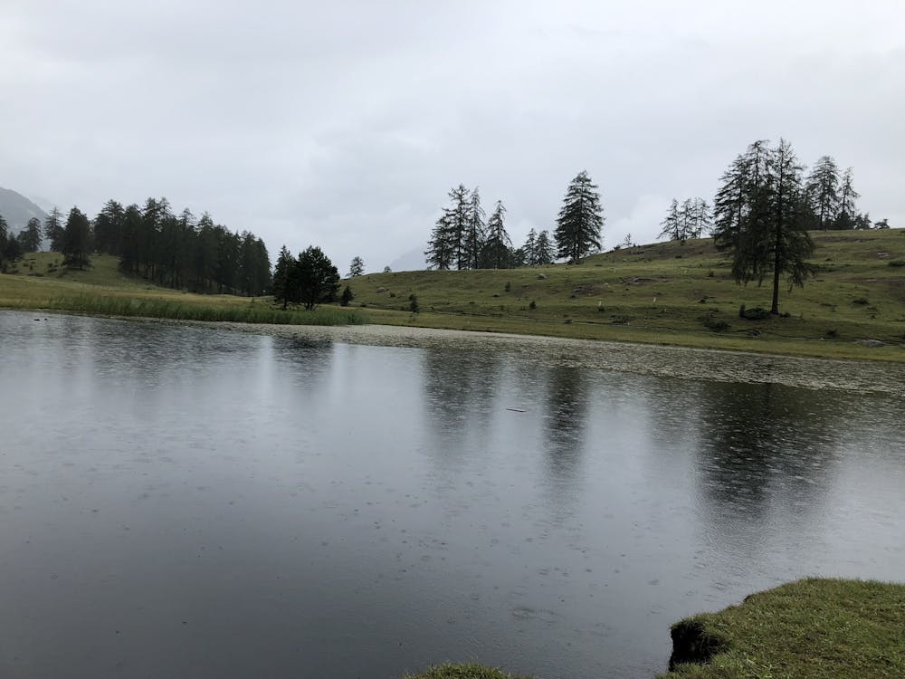
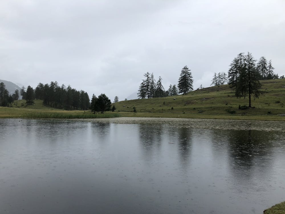
Eine kleine Wanderung zum Abschluss des Tages oder als Ruhetag zwischen zwei grösseren Touren. Die Aussicht ist sehr schön und der See (viele Menschen) ebenfalls.
Difficulty
Easy
Walking along a well-kept trail that’s mostly flat. No obstacles are present.
Low Exposure

The path is on completely flat land and potential injury is limited to falling over.
Remoteness
Close to help in case of emergency.
Best time to visit
Features
- Picturesque
- Wild flowers
- Water features
- Family friendly
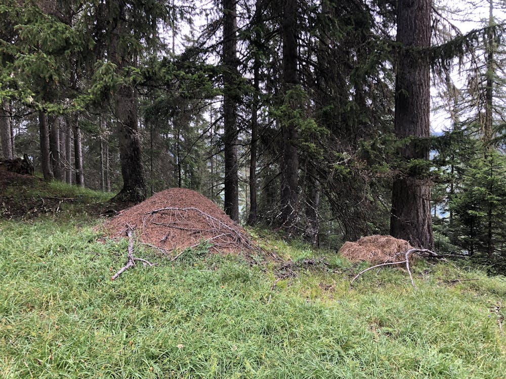
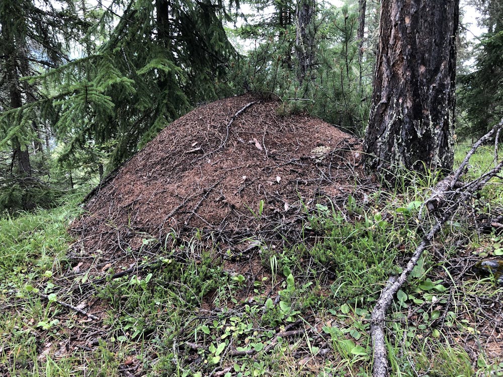
- Forestry or heavy vegetation