4.3 km away
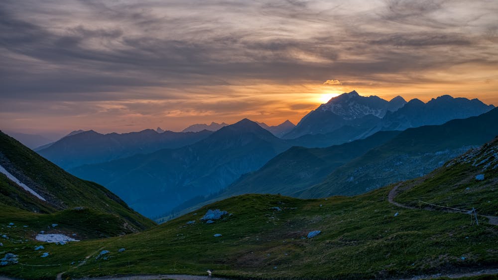
Via Alpina: St. Antönien to Gargellen
Day 7 of the 7 day Via Alpina hiking itinerary along the limestone cliffs of Rätikon.
Moderate Hiking
- Distance
- 10 km
- Ascent
- 946 m
- Descent
- 935 m
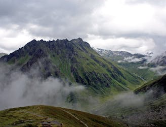
Day 6 of the 7 day Via Alpina hiking itinerary along the limestone cliffs of Rätikon.
Hiking Moderate

At only approximately two hours of walking time, this is one of the shorter stages of the multi-day hike. Following the Via Alpina R61, descend southwards from the Carschina Hut, going along the wide Moraine Stream towards the Carschina Alp. Jump onto the Valley Road and pass the Mittelsäss and Untersäss before following along the pretty Schanielbach Stream, eventually reaching the chocolate box village of St. Antönien. Sources http://www.via-alpina.org/en/
Moderate
Hiking along trails with some uneven terrain and small hills. Small rocks and roots may be present.

The trail contains some obstacles such as outcroppings and rock which could cause injury.
Away from help but easily accessed.
4.3 km away
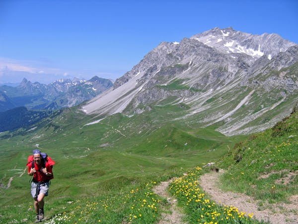
Day 7 of the 7 day Via Alpina hiking itinerary along the limestone cliffs of Rätikon.
Moderate Hiking
7 routes · Hiking